
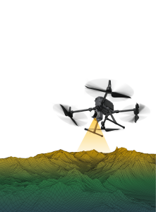
Airborne Laser Scanning
Airborne Laser Scanning is a rapid and highly accurate measurement method, used to measure the surface of the earth with the use of pulses of light and their reflections (produced by a laser light source). These pulses of light are emitted from the 3D laser scanner (Lidar) that is mounted on an airborne vehicle, like planes and helicopters. A major advantage of airborne laser scanning is the ability to provide data from both the terrain and features under a forest canopy. Producing digital terrain and surface models could be considered the main application of airborne laser scanning. Airborne laser scanning is mainly used in surveying en geodesy, archaeology, urban planning and environmental management and research like forestry, geology, geomorphology and seismology.
Showing 1-15 of 57 results
Laser Falcon Methane Detector
Leica TerrainMapper-3

VQ-860-G

VQ-840-GE
VUX-1UAV²²

VQ-680 OEM

VQ-680

VQX-2 Helicopter Pod
SatLab APUS UAV LiDAR
Geosun LiDAR GS-1500N
Lightweight Airborne LiDAR System EasyScan W30
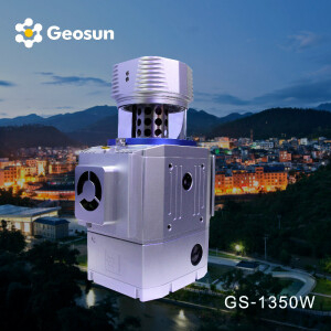
Geosun LiDAR GS-1350W
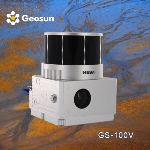
Geosun LiDAR GS-100V
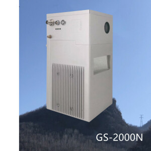
Geosun LiDAR GS-2000N
Need some help? Ask a Geo-matching expert!
Our team and network of 1000+ manufacturers and developers is here to assist you.