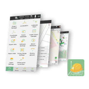
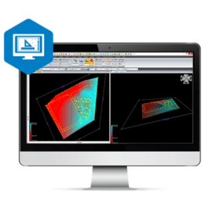
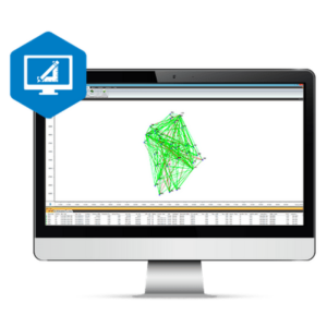
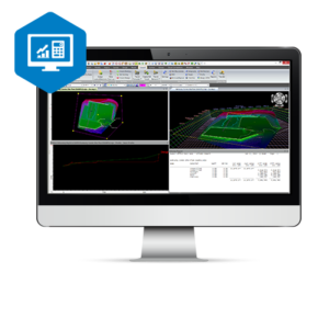
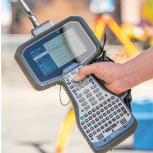
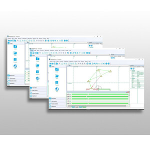
Survey Software
Survey Software processes data collected using survey equipment such as Total Stations, Levelling Instruments or Mobile GIS Systems and Field Controllers. This software allows professionals to increase their efficiency and productivity by providing easy visualisation and analytical tools for surveying.
Filters
Manufacturer type
Manufacturers
Laser scanning
Laser scan data collection
Compute unregistered point cloud
Point cloud registration to targets in cloud
Cloud to cloud registration
Photogrammetric data processing
Photo planning
Processing in cloud / on-premise
Airborne photography
Handheld terrestrial photography
Can more than one camera be used?
Camera calibration computed for all cameras used
Accepts input camera calibration data
Data from more than one camera supported
Accepts GNSS RTK photo exposure positions
Supports registration to ground control
GNSS data and processing
GNSS static / RTK data collection
GNSS setting out
Static baseline post-processing
Output data for least squares adjustment with data from other sources
Base and rover RTK
Post processed kinematic
GNSS + dead reckoning data (mobile mapping)
IMU data used trajectory computation
SLAM data used in trajectory computation
Wheel odometer data used in trajectory computation
SfM (photogrammetry) used in trajectory computation
Adjust trajectory to fit overlapping point cloud data
Adjust trajectory to fit ground control points
Adjust point clouds (not trajectory) to fit ground control points
Trajectory provided with precision data
Levelling and Orientation
Rise and fall level book format output
Height of collimation level book format output
Unadjusted levels, adjustment and adjusted level shown
Output data for least squares adjustment with data from other sources
Total Station (TS) data processing
Traverse computation
Output data for least squares adjustment with data from other sources
Compute 3D radial observations
TS setting out
Feature attribute coding
Feature geometry coding
CAD functions
CAD functions for Internal measured building surveys
CAD functions for open drainage modelling
CAD functions for Rail applications
CAD functions for Road applications
CAD functions for Pipeline applications
CAD functions for Overhead Power Line applications
CAD functions for Site development applications
CAD functions for Industrial plant applications
General
Mobile (real time connected to instrument)
Laptop / Office computer (post processing)
Integrated environment for
GNSS data
GNSS + dead reckoning data (Mobile Mapping)
TPS data
Point cloud data
Level data
Integrated least squares computation of control
Transformation between map projections
Compute grid DTM
Compute TIN
Computation of sections through surfaces
Volume computation from sections
Volume computation by substracting surfaces
Showing 1-15 of 24 results

Correlator3D

3Dsurvey Software

LandStar 8
SingularPad Field Surveying Software
MAGNET Survey
MAGNET Tools

Delta Solutions

MAGNET Enterprise
MAGNET Construction
Origin Field Software
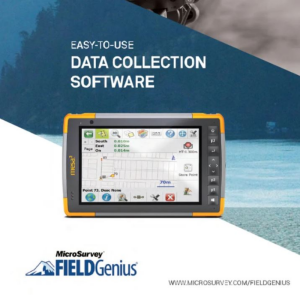
FieldGenius
Compass Solution
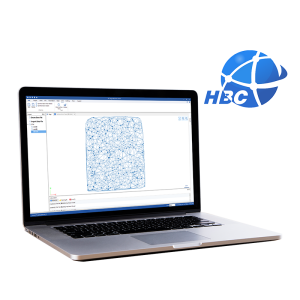
HBC Software
Survey Master
Need some help? Ask a Geo-matching expert!
Our team and network of 1000+ manufacturers and developers is here to assist you.