


Lightweight Airborne LiDAR System EasyScan W30
Scan everything at once during flying
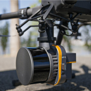
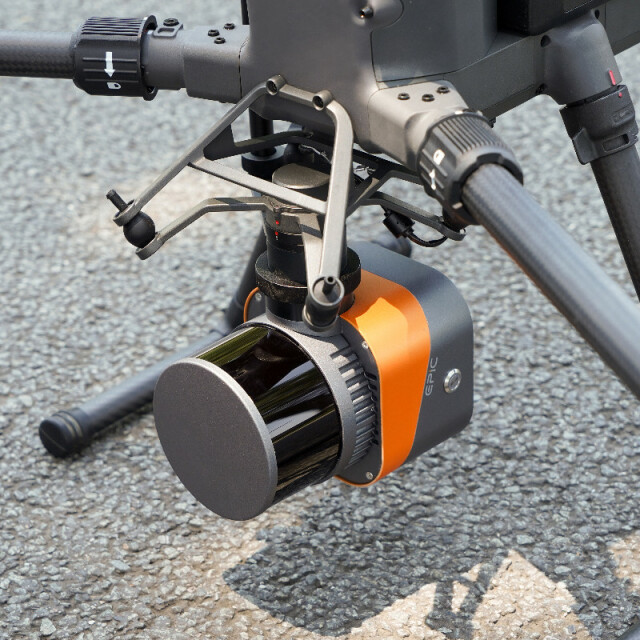
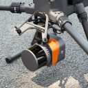
With the design concept of tight integration, the system highly integtates multiple sensors such as laser sensor, GNSS, high-precision IMU, professional metric camera, etc., which can be seamless compatible with DJI M300 RTK with integrated control unit from DJI. The system brings customers a simple aerial survey experience with fully detailed 3D terrain data.
Description
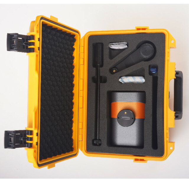
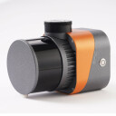
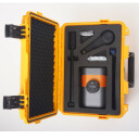
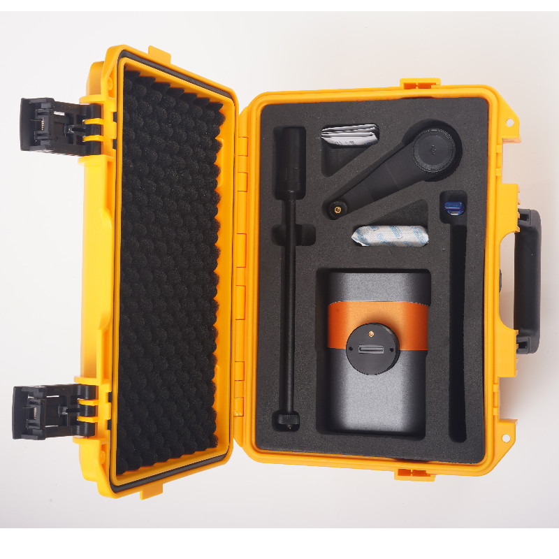
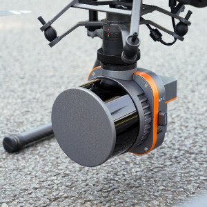
EasyScan W30 is an integration system of multiple sensors as laser sensor, GNSS, high-precision IMU, camera and etc. It can be seamless compatible with DJI M300 RTK UAV. With the weight only 960g, it can effectively extend the flight time. The user can control and monitor the whole system by using an integrated Apps in DJI's control unit. And the real-time flight trajectory, 3D point cloud and aerial images can be monitored in real-time.
Product Advantages
1. Ultra long endurance -- the innovative design of the system makes the whole scanner smaller in size and only 960g in weight, which can effectively extend the flight time in the air.
2. Ultra high precision -- with unique intelligent algorithm, the massive 3D point cloud obtained can achieve professional-level measurement accuracy.
3. Extreme;y integrated -- seamless compatible with M300 RTK, the syetem is designed for unprofessional users, through simple plug and play, the user can control and monitor the whole system by using an integrated Apps in DJI’s control unit; the data is well organized to be stored, with a simple one-click, the data can be downloaded locally.
4. Real-time monitoring -- the real-time flight trajectory, 3D point cloud and aerial view images can be transmitted back and displayed in DJI’s control unit in order to help the user to evaluate the system in the air in real-time.
Do you have questions about this product?
- Questions about price, availability, and/or retailers
- Questions about technical specifications and usage
- Questions about suitability for your project or application
Specifications
-
Application
-
Main applications
Smart Grid, Topographic Mapping, Emergency Rescue, Smart Mining, Water Conservancy & Hydrology, Nature Resource,Real 3D
-
Measurement Characteristics
-
Range accuracy [mm]
5
Scanning Speed [measurements p second]
640000
multiple pulses in air
Y
Min. pulse frequency [Hz]
5
Max. pulse frequency [Hz]
20
Max. field of view [degrees]
360
Max. number of recorded echoes per pulse
3
Recording of intensity of return signal [bits]
8
-
Physical Properties
-
Height [cm]
12.1
Length [cm]
15
Width [cm]
10.5
Weight [kg]
0.96
-
Laser Pulse Characteristics
-
Laser Class
Class I
Wavelength [nm]
905
Min. range of laser pulse [m]
0.5
Max. range of laser pulse [m]
300
-
Power Supply
-
Power consumption
30W (Average value)
Power requirements
12 ~ 30V DC
-
Positioning System
-
Number of GNSS positioning sensors
1
Typical positioning accuracy [cm]
1
Heading, Pitch and Role internally captured
Y
Type of INS or IMU
Mems
Gyroscopes Bias In-Run stability [deg p hr]
1.2
-
Operation Characteristics
-
Mounting
UAV based
Requirements for compatible UAVs
DJI M300 RTK
Camera included
Yes
-
Data and Software
-
Type of storage
flash card
Max. storage space [mb]
262144
Included software
Easy Pilot Access,EPiCloud Center
-
General
-
Year of last update
2023
Year of introduction
2022
Documents
Brochure
w30-eng.pdf
613.7 KB
More from Wuhan Eleph-Print Tech Co.,Ltd

