Digital Aerial Cameras
Digital aerial camera's are calibrated instruments that capture images from airborne vehicles, like planes and helicopters. Aerial cameras are generally characterized by a very high camera resolution and unparalleled quality through a process of continuous testing and calibration. Digital images are used for a wide spectrum of applications, like the creation of orthophoto's, cartography and the creation of maps. Application area's include archaeology, mining and environmental studies, but also reconnaissance, defence and disaster management. A multitude of products can be derived from digital imagery, some examples are elevation models, digital terrain and surface models (DTM and DSM) or city models. With the use of photogrammetry software, also point clouds can be generated with digital images.
Filters
Showing 1-15 of 38 results

UltraCam Dragon 4.1
UltraCam Merlin 4.1 2010
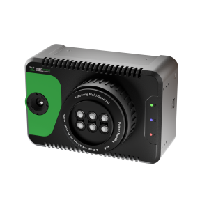
TOPODRONE PT61

UltraCam Merlin 4.1 3020
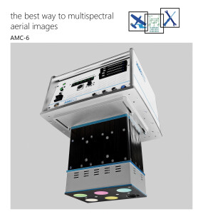
multispectral aerial camera AMC-6
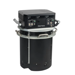
PAS Pana
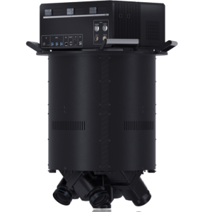
FJD Trion O1 Aerial Mapper
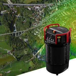
Leica CountryMapper
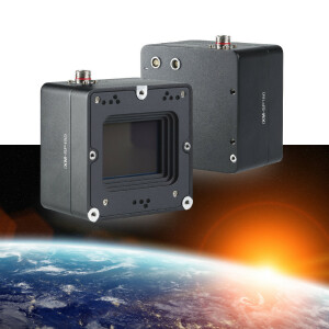
iXM-SP150
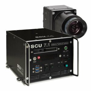
The SCU 7.1 is a powerful system controller
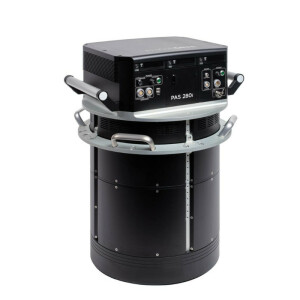
PAS 280i
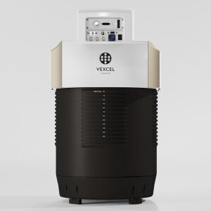
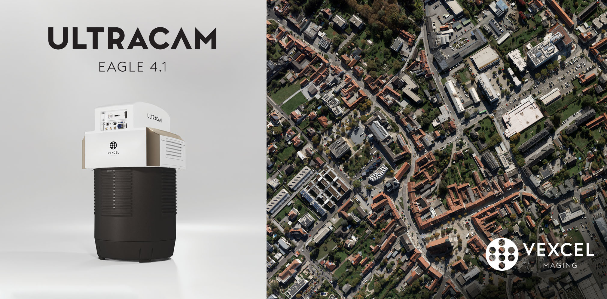
UltraCam Eagle 4.1
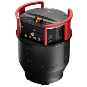
Leica DMC-4 Airborne Imaging Sensor
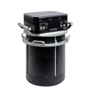
PAS 880i NIR
Need some help? Ask a Geo-matching expert!
Our team and network of 1000+ manufacturers and developers is here to assist you.

