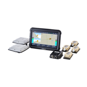
Machine Control Systems for Excavation, Milling, Paving and Grading
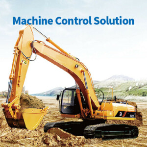
Machine control systems offers an overview of the latest developments of products in machine control solutions for milling, paving, grading and much more. The systems provide guidance and automate tasks for your operators. Macine control systems can (partly) robotize equipment, automate processes and give direct insight in the work.
Filters
Manufacturer type
Manufacturers
General
Year of introduction
Year of current version
Last update
Main design elements
Dimensions
Length [cm]
Width [cm]
Height [cm]
Operation Characteristics
Integrated sensors
Operating temperature: max. [°C]
Operation time per battery [hr]
Battery Field Replaceable
Storage temperature max [°c]
Connectivity
Bluetooth
WiFi
USB
Functionalities
Feedback from tractor required
Max number of simultaneous operation controls
Remote control of vehicles
Section control
View different mapping layers
View position, planned route and speed
Software
Zooming
Panning
Map rotation
Editing of lines
Editing of points
Editing of polygons
Editing of attributes
Query
Sketching of notes on map
Display of external data and photos
Measurements: length
Measurements: area
Computer
Audio: microphone
Audio: speaker
Built-in Camera: megapixels
Modelling and visualisation
3D model from 2D map extraction
Automated modelling options from point clouds
Point cloud modelling
Rendering and animation capabilities
Display
Touchscreen
Showing 1-12 of 12 results


TG63

MC-Max Excavator

MC-Max Dozer

SL100 Land Leveling System
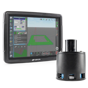
Tillage Depth Control
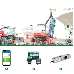
Universal Weighing (Cab Control App)
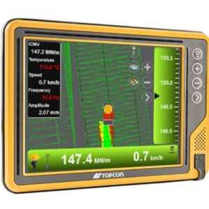
C-53 ā Intelligent compaction

3D milling system
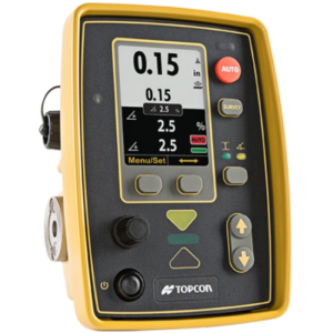
2D control for milling
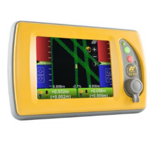
Smoothride 3D-MC Controller
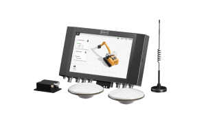
Smart Machine Control Solution
Need some help? Ask a Geo-matching expert!
Our team and network of 1000+ manufacturers and developers is here to assist you.