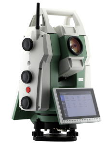
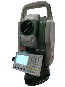
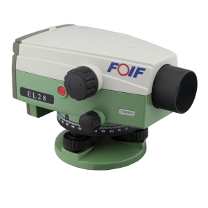
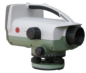
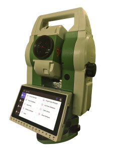
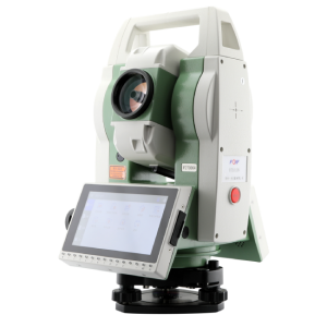
Land surveying equipment
Land surveying is the technique and science of accurately determining the terrestrial or 3D positions of points and the distances and angles between them, using a variety of tools and equipment. This data is used to establish maps and boundaries for ownership, locations, such as building corners or the surface location of subsurface features, or other purposes required by government or civil law, such as property sales. Explore this page for the latest insights on the equipment used for land surveying and how it is applied in various industries.
Product categories
Recently added products


Featured manufacturers