
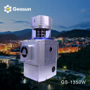

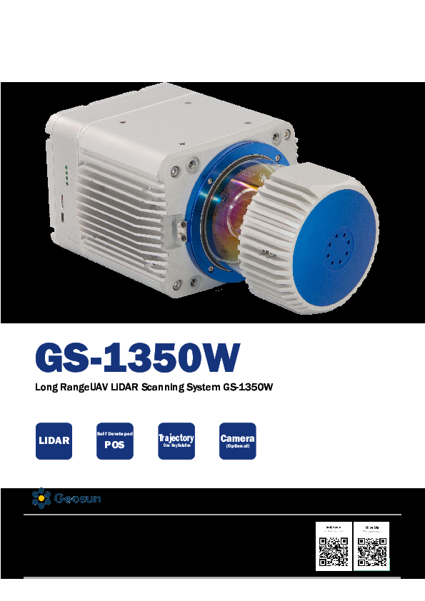
Geosun LiDAR GS-1350W
Long Range Laser Scanning VTOL UAV Vehicle Supported Five Echo Colored Point Cloud Free Trajectory Processing
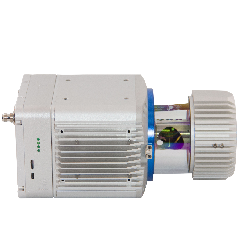
The GS-1350W Lidar Scanning System is an independently developed UAV/vehicle measurement system by Geosun Company. It is highly integrated with a laser scanner, GNSS satellite positioning system, INS inertial navigation system, and a camera (optional). It can quickly obtain high-precision laser point cloud data and is widely used in digital city construction, industry, land surveying, forestry, and agriculture.

Geosun Navigation
Wuhan, CN
Description
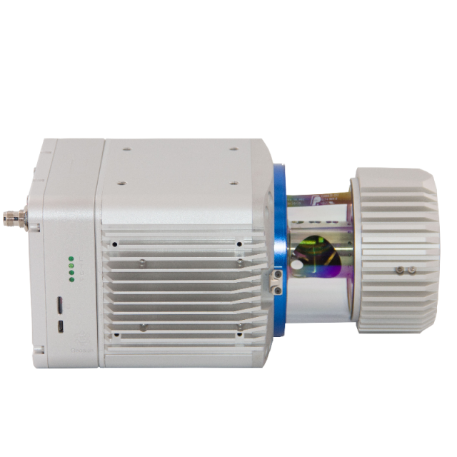
The gAirHawk GS-1350W is a long-range, compact Lidar point cloud data acquisition system integrated with a long-range laser scanner, GNSS, and IMU positioning and attitude determination system, as well as a storage control unit. It can collect high-precision point cloud data and rich image information in real-time and on a large scale. It is widely used in 3D spatial information acquisition for surveying, electricity, forestry, agriculture, and land planning.
The Geosun self-developed gAirHawk 5.0 software is a point cloud pre-processing software integrated with trajectory processing. It offers the following key features: intelligently loading of raw data, four default coordinates, point cloud optimization, start and stop calculation, and a free trial test that can achieve high precision.
Do you have questions about this product?
- Questions about price, availability, and/or retailers
- Questions about technical specifications and usage
- Questions about suitability for your project or application
Specifications
-
General
-
Year of introduction
2022
Year of last update
2022
Total Weight [kg]
4.1
Power requirements
12-24v
Camera
yes
Data storage facilities
512 GB Solid State Drive Support 128GB TF Card
Mission planning software
Customized Route Planning Software-WayPoint Master
-
Application
-
Main applications
forestry, agriculture, mining industry ,autonomous vehicles, mapping, environmental monitoring, robotics navigation, measurement and inspection
-
Measurement Characteristics
-
Scanning method
L-Scan
Max. field of view [deg]
355
Scan frequency [Hz]
200Hz
Max. number of recorded echoes per pulse
Five Echo
-
Operation Characteristics
-
Platform
RPAS (UAV/UAS)
-
Laser Pulse Characteristics
-
Type/class laser
1550nm
-
More information
-
Distinguishable features
Long Range
-
Uncertainty and resolution
-
Pitch and roll pointing precision [deg]
0.003
Heading pointing precision [deg]
0.01
-
Application areas
-
Select an application area:
Construction and Infrastructure, Land Surveying and Cadastre, Mining
Documents
Brochure
gairhawk-gs-1350w.pdf
1.15 MB
Related products

