
Terrestrial Laser Scanners
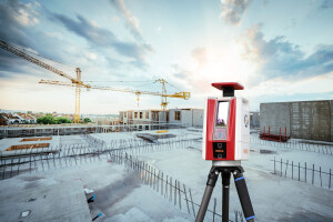
Terrestrial Laser Scanners are used for detailed 3-dimensional data acquisition of objects. Laser scanning is a very fast and cheap way to produce 3D Models. Terrestrial Laser Scanners have applications in many different areas such as deformation measurements, quality control or topographical surveying and cultural heritage monitoring. This broadly used survey instrument is also called static terrestrial laser sanners (STLS), 3D scanner, 3D laser scanner or Lidar scanner. The prefix 'terrestrial' indicates that it is a Lidar scanner for geospatial measurements. Buying a terrestrial laser scanner? Weigh in mind a price between $12,000 and $170,000, depending on its range, accuracy and other data acquisition capabilities.
Showing 1-15 of 26 results
Z+F FlexScan®
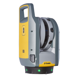
Trimble X9 3D Laser Scanning System
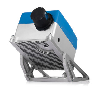
Next Generation of Terrestrial Laser Scanner T10
Z+F PROFILER 9020C
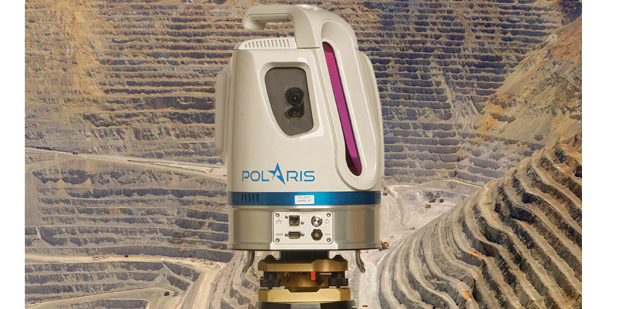
VZ-600i
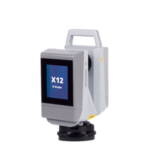
Trimble X12 3D Laser Scanning System
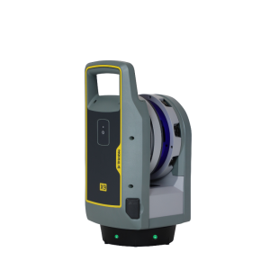
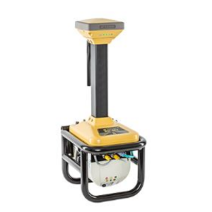
GLS-2200
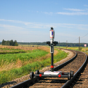
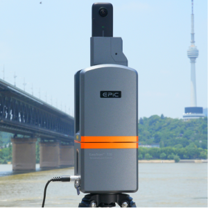
VMR
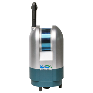
LiPod Lite
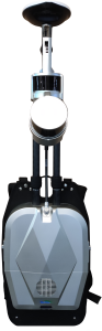
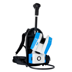
LiBackpack DGC50H
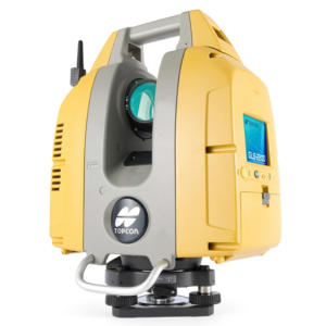
Topcon RD-M1 Scanner
Trimble X7 3D Laser Scanning System
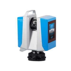
Z+F IMAGER® 5016
VZ-2000i
Need some help? Ask a Geo-matching expert!
Our team and network of 1000+ manufacturers and developers is here to assist you.

8 Key Factors to Consider When Buying a Terrestrial Laser Scanner
When looking to invest in a terrestrial laser scanner, there are several important factors to keep in mind to ensure you choose the right device for your needs and budget. Here are the top 8 considerations:
1) Price range
Terrestrial laser scanners can vary widely in cost, from around €12,000 on the low end up to €170,000 or more for high-end, long-range models. Determine your budget and look for scanners that offer the capabilities you need at a price point you can afford. You can easily request a price for all terrestrial laser scanner listed above.
2) Accuracy and range of TLS
Consider the level of detail and distance you need to capture. Short-range scanners (under 30m) are more affordable at €17,000-34,000 but less accurate. Medium-range scanners (100-400m) balance price and performance at €46,000-75,000. Long-range models (up to 6km) offer the highest accuracy but cost €100,000-170,000.
3) Software compatibility
Not all laser scanners work with every software program, so make sure the model you choose is compatible with the point cloud processing and CAD software you use or plan to use. Flexible, third-party software can provide more options.
4) Mobility needs
Do you require a lightweight, portable unit for field use or will you only be scanning in a fixed location? Wearable and vehicle-mounted mobile mapping systems offer greater flexibility but at the cost of some accuracy compared to static terrestrial scanners.
5) Workflow integration
Think about how the scanner will fit into your existing reality capture workflow. Aim for interoperability that leverages your current equipment. Combining terrestrial scanning with mobile mapping provides a versatile solution.
6) Added features
Some scanners offer value-added capabilities like capturing color or thermal data, or dual-axis compensation for scanning from a moving platform. Determine which features are must-haves for your needs.
7) Support and training
Consider what level of vendor support and training is included with the scanner. Will the manufacturer provide assistance with setup, calibration, and troubleshooting? Is training available to help get your team up to speed?
8) Future needs
Think about how your scanning requirements may evolve in the coming years. Investing in a more versatile, higher-performance terrestrial laser scanner now could pay off in the long run as your needs grow. Choosing third-party software also keeps your options open.
By weighing these key factors and aligning them with your target outcomes, you can narrow down the field of terrestrial laser scanners to find the optimal solution for your reality capture needs and budget. And be sure to explore the full range of options from leading manufacturers above, and more to find the best fit.


