


Network Surveyor
Utility Asset Mapping Solution
Teledyne's newest solution for utility asset mapping, Network Surveyor, is designed specifically to meet the time constraints for electric utilities, Teledyne combines unmatched lidar technology with edge processing to deliver actionable data in near real time.
Teledyne Geospatial
Vaughan, CA
Description
Tech Inside
To address the utility market, Teledyne Geospatial designed three core workflow elements to deliver actionable data in real time.
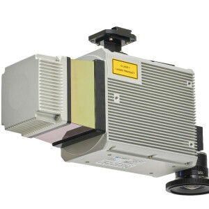
Lidar
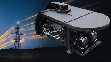
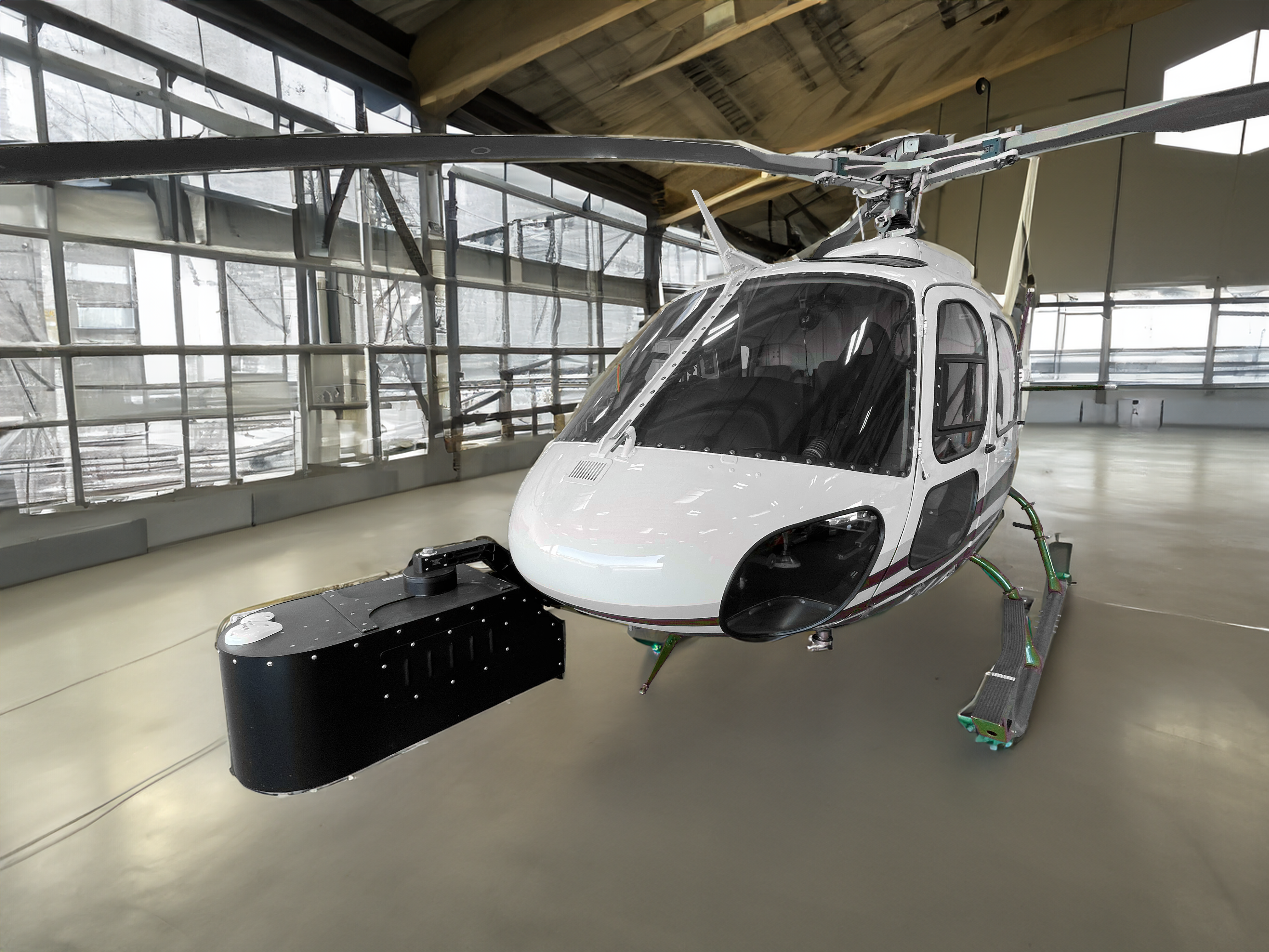
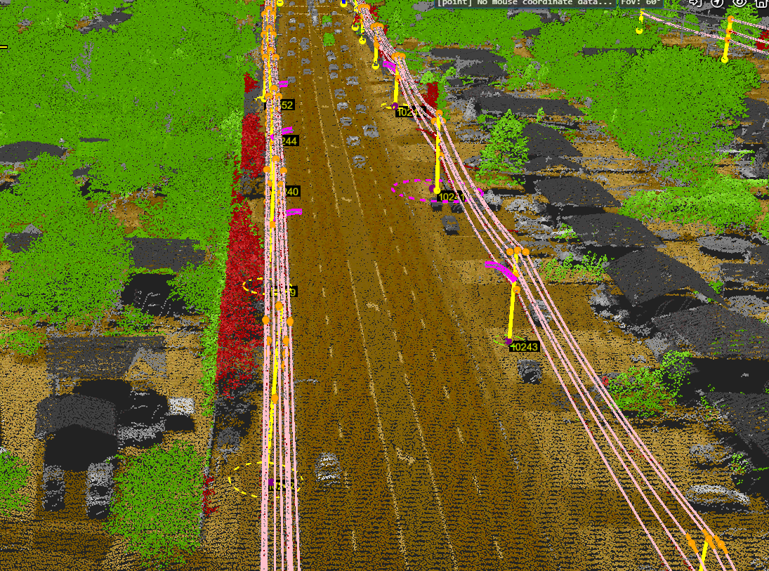
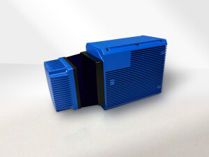
The Optech Galaxy is an industry-leading airborne lidar boasting a 2MHz pulse rate making high resolution mapping of utility assets fast and cost effective. The compact size of the Galaxy offers unmatched versatility and is compatible with both airplane and helicopter platforms making any project achievable regardless of specification.
The latest release of Galaxy is the 7th generation sensor. Providing tailored enhancements for small object detection, it is the core of Network Surveyor. Building on the foundational technology of T2000, performance improvements include
high resolution data via enhanced scan rate,
parallel scan lines for homogenous point density, and
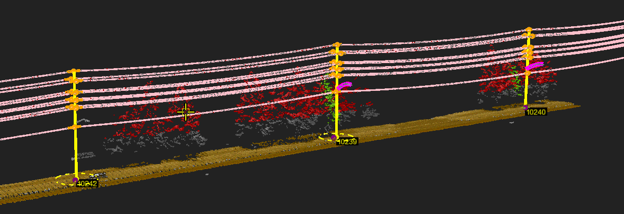
optimized laser and detector settings tuned for wires and small object identification.
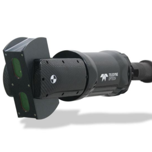
Galaxy Onboard
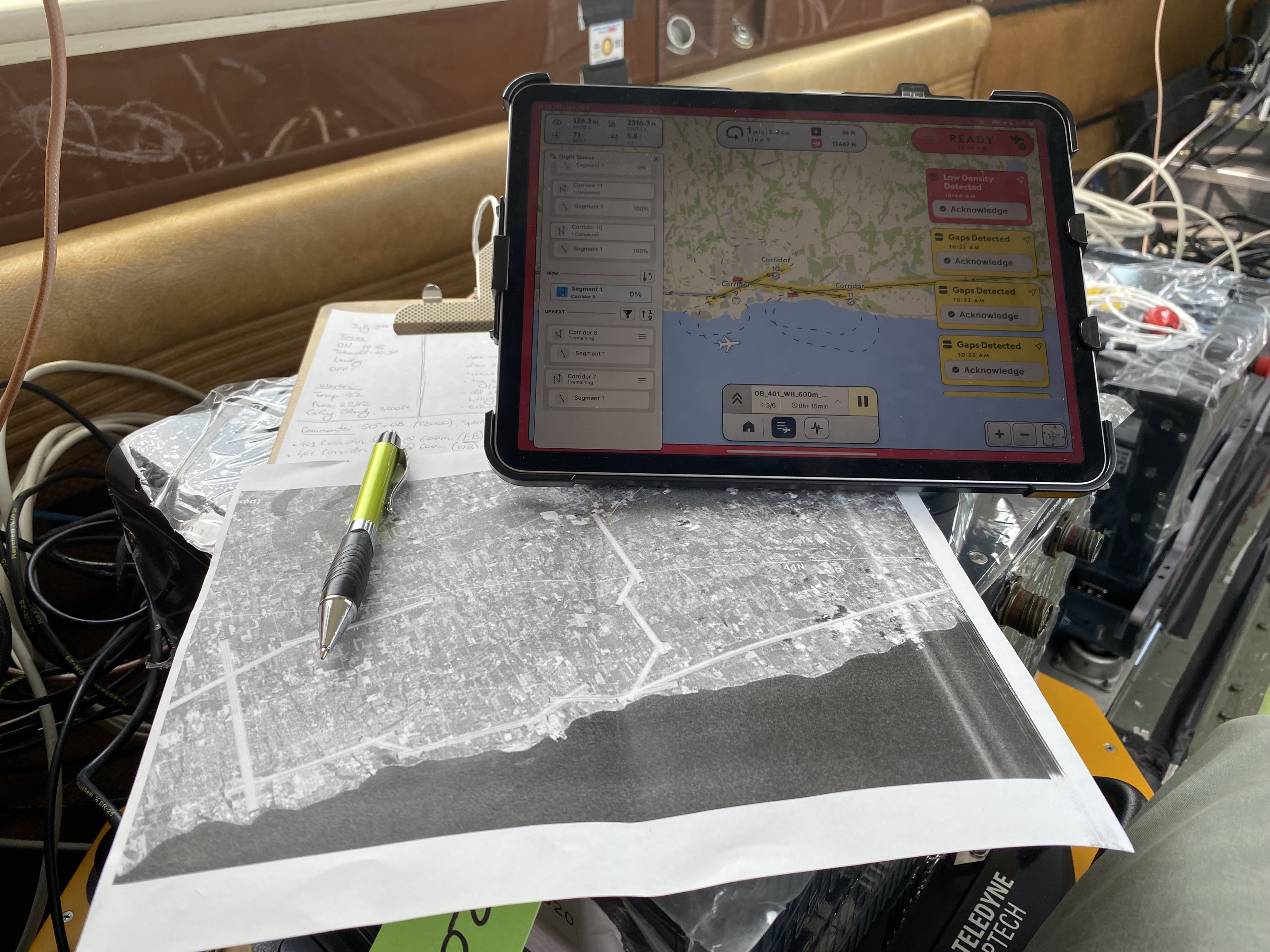
Galaxy Onboard is a groundbreaking industry first; REAL TIME processing and quality control edge processing solution that operates from the aircraft during data collection. Data is processed and analyzed in real time ensuring all required data is captured successfully. Combined with real-time trajectory corrections applied in the air, the point cloud accuracy achieved in the air produces sub 15cm absolute accuracy of that data on landing. High accuracy point clouds produced in real-time can immediately be imported into leading digital-twin platforms for analytics upon landing of the aircraft. True rapid-reporting and response with Teledyne Utility solutions.
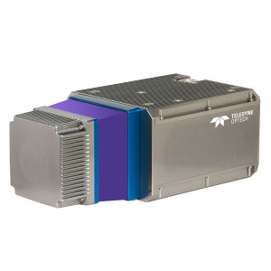
Cameras
Phase One imagery solutions provide concurrently captured oblique and nadir imagery data to verify the point cloud analysis. The best in industry imagery solutions from Phase One support asset inspection image analysis and orthomosaic products for a complete digital record of infrastructure.
Ease of use
Network Surveyor focuses on data outcomes and speed of analytics. Through a fully integrated sensor solution, user-friendly UI and real-time processing, the barrier of entry into geospatial data acquisition has never been easier.
Data is ready for ingestion into analytics platforms immediately after landing and reporting on geohazards such as clearance violations and vegetation encroachment reports can be produced the same day as flight.
Network Surveyor was designed to be user-friendly without compromising on its productivity. The inclusion of new features designed to be intuitive and easy to learn reduces the cognitive load in decision-making during flight.
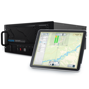
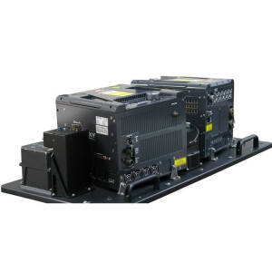
The fully integrated solution comes with an STC approved heli-pod mount for Bell 206 and AS350 helicopter platforms. A complete sensor integration kit allows for easy installation and efficient flight operations.
Do you have questions about this product?
- Questions about price, availability, and/or retailers
- Questions about technical specifications and usage
- Questions about suitability for your project or application
Videos


