Imaging Sonars
Imaging Sonar is a category of sonar systems that are used to efficiently create an image of the seafloor or underwater objects. Unlike Sidescan Sonars, which are dragged along the seafloor, Imaging Sonars are either handheld or mounted on a ROVs
Showing 1-15 of 26 results
BV5000 3D Multibeam Scanning Sonar
SeaBat F30
SeaBat 7123-MkII
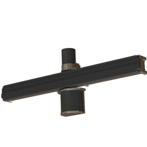
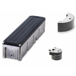
BV3100 Boat Mount With P&T
SeaBat T20-ASV
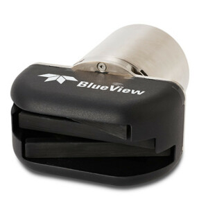
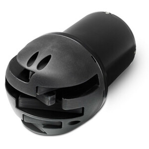
BlueView M450 Mk2
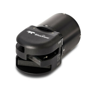
BlueView M900-2250-S 130/45-Mk2
BlueView M900-2250-130-Mk2
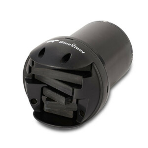
BlueView M900 Mk2
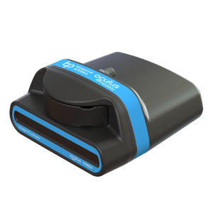
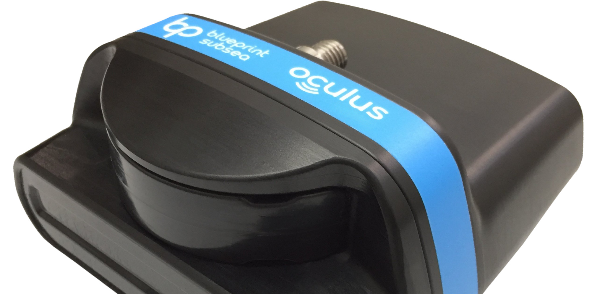
Oculus M3000d
SeaBat F50
ISS360 Range of Imaging Sonars
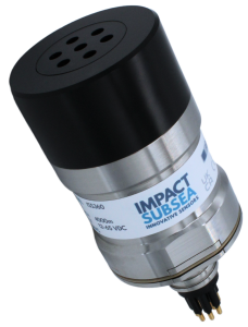
DASS710

MRS900S
Need some help? Ask a Geo-matching expert!
Our team and network of 1000+ manufacturers and developers is here to assist you.