Big Data Management Systems
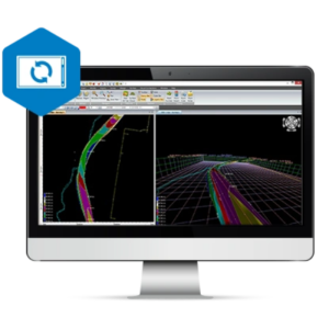
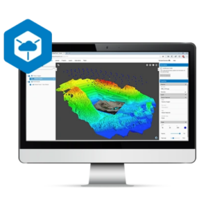
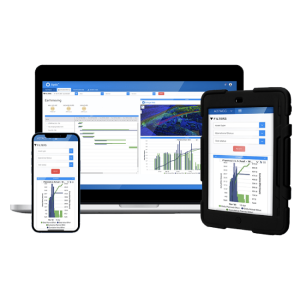
Big Data Management Systems provide solutions for receiving, storing, analyzing, presenting, visualizing and publish of spatial data. Most typical types of spatial data (LiDAR, Raster, vector, files) are supported by one of the systems. The systems provide solutions for easy storage and publishing of environmental data acquired by different monitoring techniques and sensors. Some examples include: point cloud, tide and wave data, wind and other meteorological and oceanographic data types, vessel location (AIS), dynamic positioning and motion data, aerial imagery and ortho fotos.
Filters
Showing 1-5 of 5 results
Need some help? Ask a Geo-matching expert!
Our team and network of 1000+ manufacturers and developers is here to assist you.


