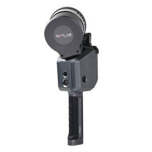
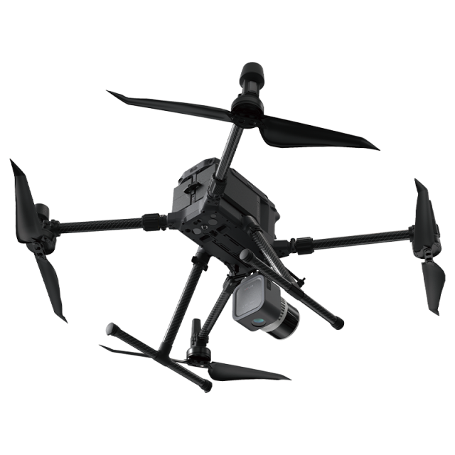


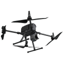
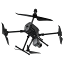
SatLab APUS UAV LiDAR
Lightweight and easiest to use UAV LiDAR
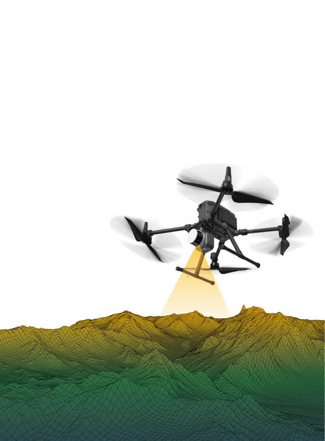
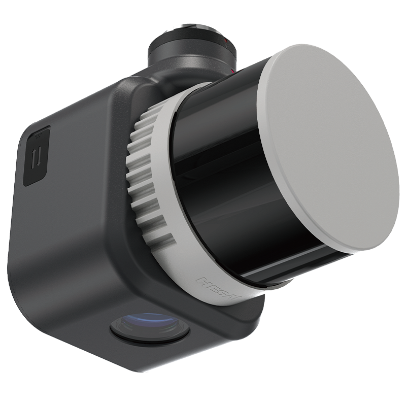
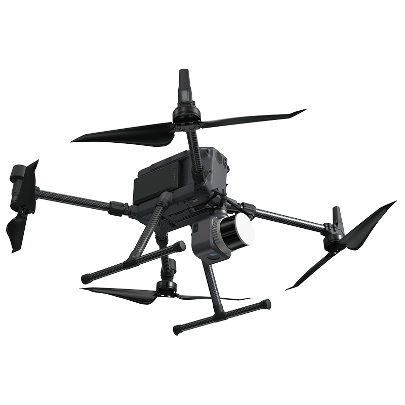
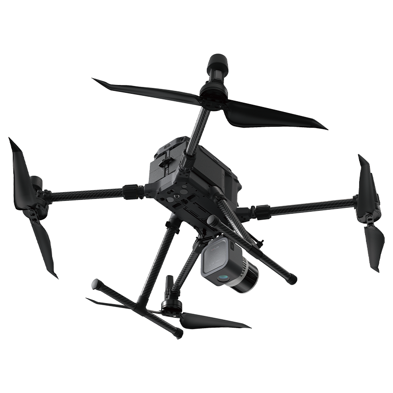
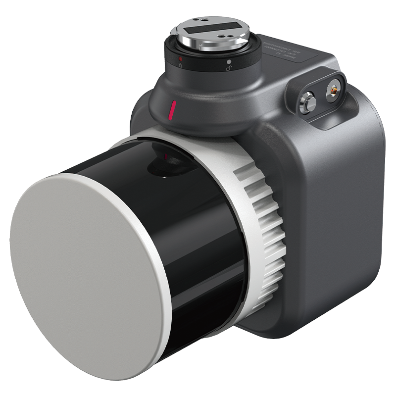
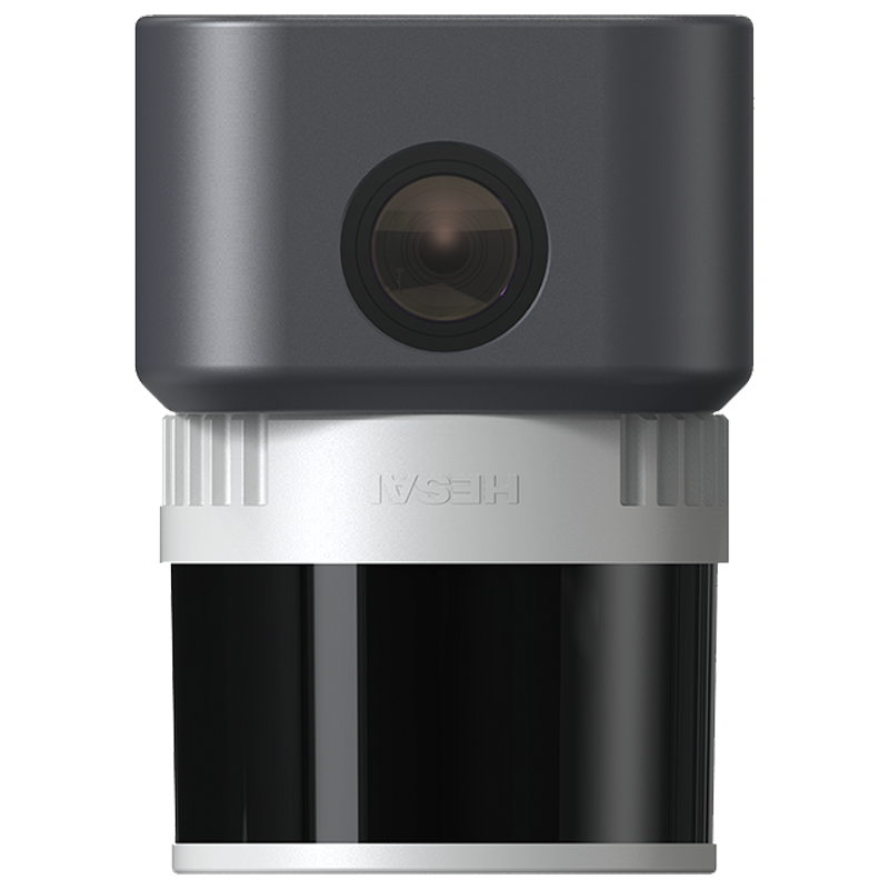
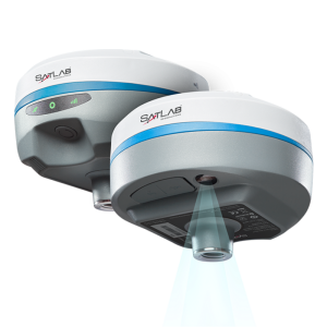
The Apus represents the evolution of SatLab's LiDAR solutions, stand as necessary member of the Satlab LiDAR product family. This light compact and superior system integrates an advanced laser scanner with an industrial grade camera and a sophisticated inertial navigation system, is able to collect reliable and great detailed point cloud and rich image information. Its diverse applications span across 3D spatial data acquisition for terrain mapping, electricity, forestry and agriculture surveys, emergency response, and land planning.

SatLab
Vastra Frolunda, SE
Description
Simplicity of Operation
With one button operation and automated route planning software, Apus enables users to quickly start mapping and monitor the data quality in real-time.
Lightweight
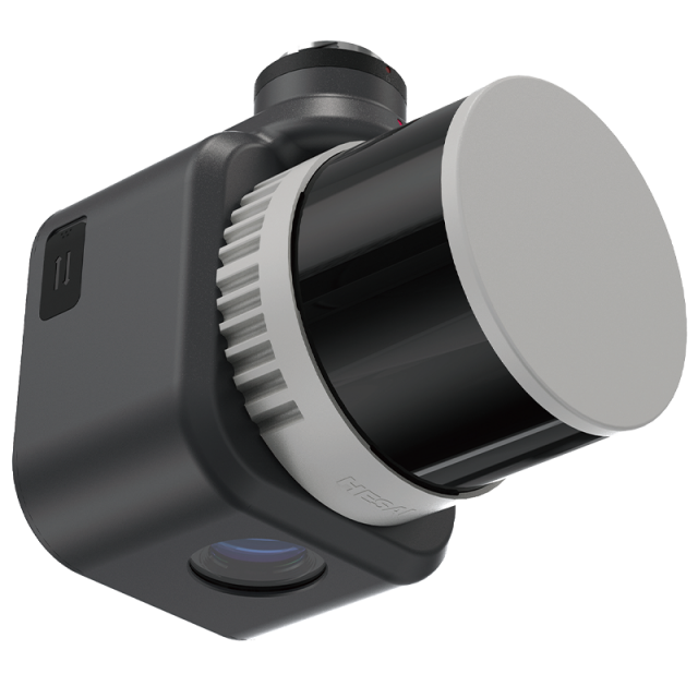
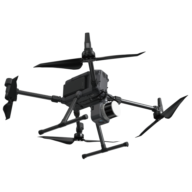
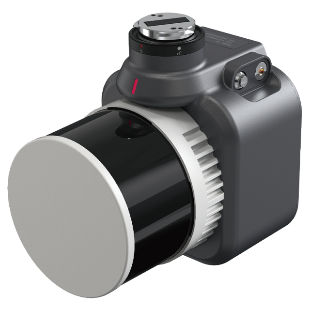
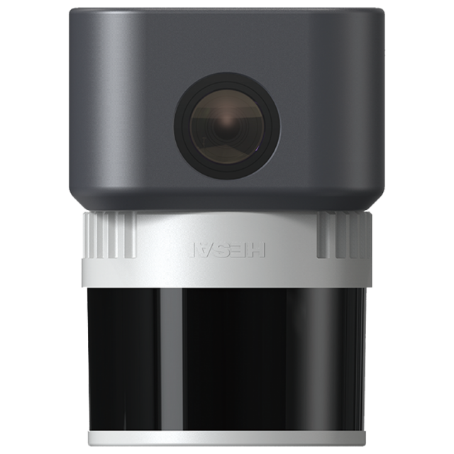
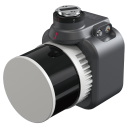
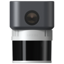
Within its 1kg frame, the Apus seamlessly integrates the HEISAI advanced laser scanner with a high preci-sion GNSS-aided inertial navigation system and high-resolution camera, allowing for extended flight time and thus enhancing overall efficiency and performance
Intelligent & Reliable
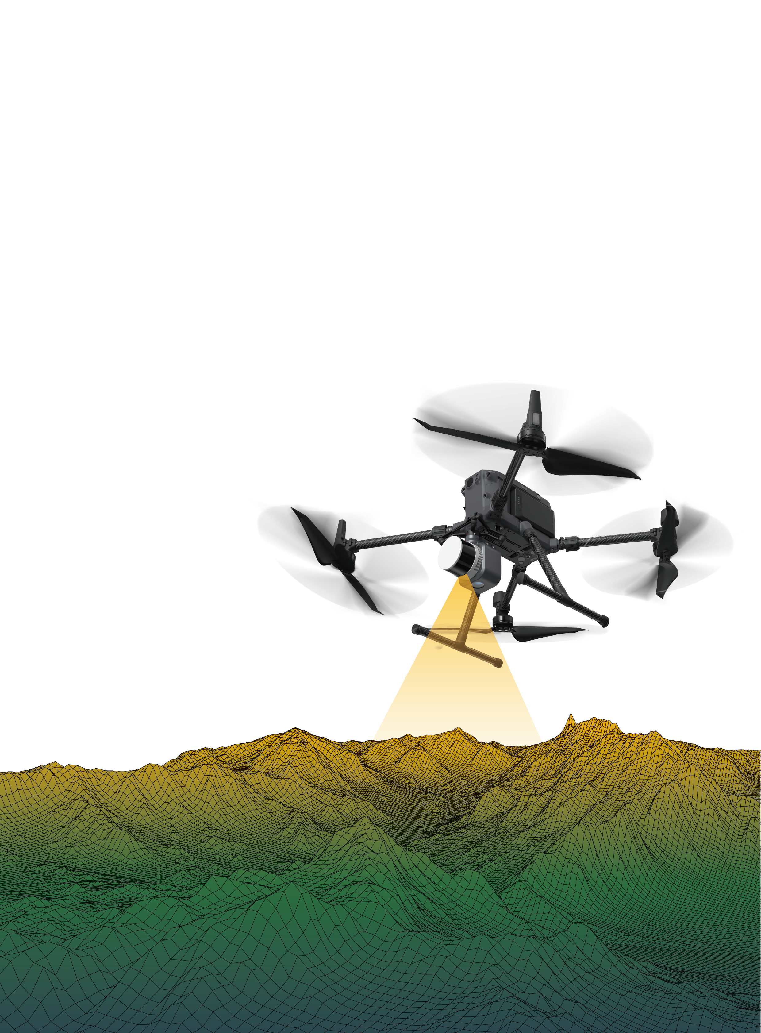
As a robust and intelligent system, Apus excels in most scenes even in the steep, rugged terrain and thick vegetation. It can capture data autonomously within designated survey areas which minimizes data overlapping greatly. With its dual storage for data backup, you can access project history information and manage data easily and flexibly.
All in One-click
Combing with our SatLiDAR software, trajectory solving, data fusion, strip adjustment, point cloud optimization and colourisation can be done in one-click, resulting in more accurate data.
Do you have questions about this product?
- Questions about price, availability, and/or retailers
- Questions about technical specifications and usage
- Questions about suitability for your project or application
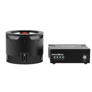
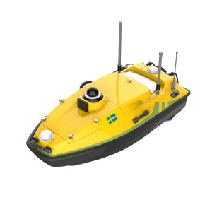
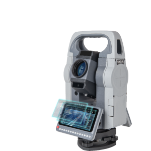
Related products

