Geo-matching | Your Product Platform for Surveying, Positioning and Machine Guidance Join Geo-matching now!
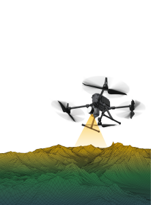
Airborne Laser Scanning is a rapid and highly accurate measurement method, used to measure the surface of the earth with the use of pulses of light and their reflections (produced by a laser light source). These pulses of light are emitted from the 3D laser scanner (Lidar) that is mounted on an airborne vehicle, like planes and helicopters. A major advantage of airborne laser scanning is the ability to provide data from both the terrain and features under a forest canopy. Producing digital terrain and surface models could be considered the main application of airborne laser scanning. Airborne laser scanning is mainly used in surveying en geodesy, archaeology, urban planning and environmental management and research like forestry, geology, geomorphology and seismology.
Geosun Navigation
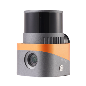
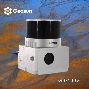
GS-130X integrates Hesai XT32 laser sensor and all built-in units to create a futuristic look for your diversified LiDAR solution services.Stands out with strong pen
Leica Geosystems Airborne Solutions
The Leica TerrainMapper-2 is the latest linear-mode Lidar airborne sensor providing the highest performance for regional mapping projects. The gateless MPiA delivers
RIEGL | Innovation in 3D
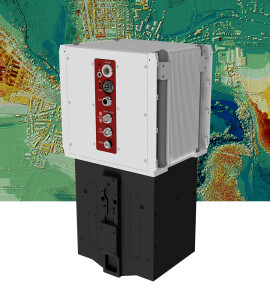
In the further development of the RIEGL VQ-580 Airborne Laser Scanner Series, the RIEGL VQ-580 II presents itself in a completely new design that successfully takes
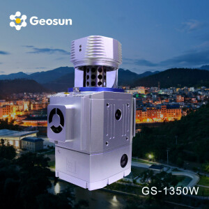
Geosun Navigation
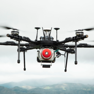
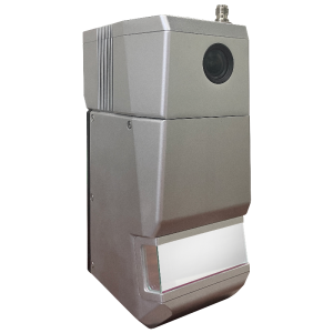
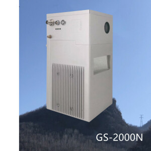
GS-1350N is a UAV/vehicle-based Lidar scanning system independently developed by Geosun Company. It integrates a laser scanner, GNSS satellite positioning system, IN
RIEGL | Innovation in 3D
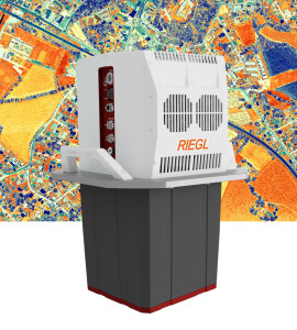
The VQ-1560 II-S follows the successful concept of RIEGL’s proven dual channel laser scanner series. With increased laser power the operational altitudes are extende
RIEGL | Innovation in 3D
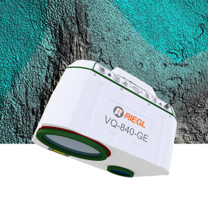
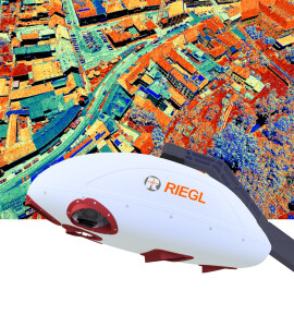
The RIEGL VQ-840-G is a fully integrated compact airborne laser scanner for combined hydrographic and topographic surveying. The system can be offered optionally wit
GeoLas Systems GmbH
The EL-MAP Airborne LiDARs are a series of compact, high-performance laserscanners designed for cost-effective airborne laser mapping with fixed-wing aircraft, helic
Teledyne Geospatial
Teledyne Optech´s Galaxy T1000 is a next-generation airborne lidar sensor, packing more power and performance into a tiny footprint than any other sensor. Designed f
RIEGL | Innovation in 3D
The VQ-1460 is one of RIEGL‘s latest high-end airborne laser scanning systems, suitable for a wide field of applications – from high-point density wide area mapping
RIEGL | Innovation in 3D
The Waveform Processing Airborne Laser Scanner RIEGL VQ-780 II provides further increased performance and highest productivity based on a laser pulse repetition rate