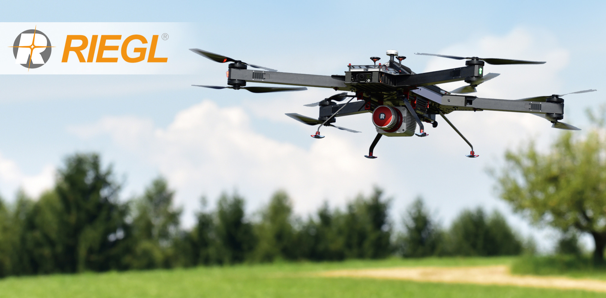
UAS Lidar Systems
Unmanned Aerial System (UAS) LiDAR Systems are compact devices intended to mount on UAS for Mapping and 3D Modelling. A Light Detection and Ranging (LiDAR) is an active sensor which emits large amounts of laser pulses per second. Based on the reflection of the laser pulses, a three-dimensional image is created, known as a point cloud.
Showing 1-15 of 62 results
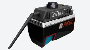
TDOT 7 NIR-S
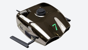
TDOT 7 GREEN

FT742-SM

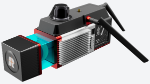
VUX-180-24

VUX-240-24

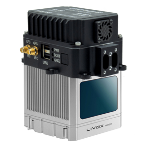
NAVIGATOR

XFLY

AlphaAir 10

AlphaUni 20
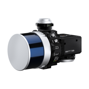
RESEPI Hesai XT-32M2X – LiDAR and RGB Remote Sensing Payload Instrument
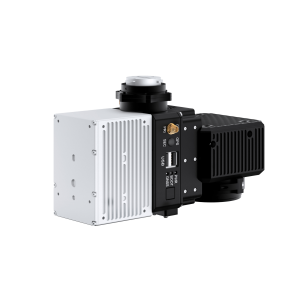
RESEPI Livox Mid-70 – LiDAR and RGB Remote Sensing Payload Instrument
RESEPI Livox Mid-40 – LiDAR and RGB Remote Sensing Payload Instrument
RESEPI Livox Horizon – LiDAR and RGB Remote Sensing Payload Instrument
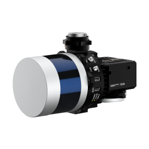
RESEPI Velodyne VLP-32 – LiDAR and RGB Remote Sensing Payload Instrument
Need some help? Ask a Geo-matching expert!
Our team and network of 1000+ manufacturers and developers is here to assist you.