
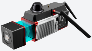
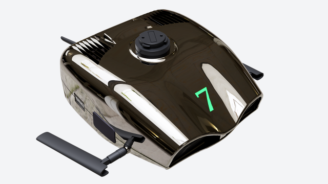


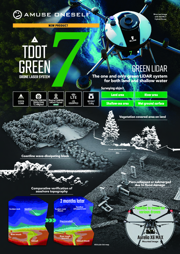
TDOT 7 GREEN
DRONE LiDAR SYSTEM
“TDOT 7 GREEN” is the one and only green LiDAR system that can be used both on land and in shallow water.
Description
In 2013, we were among the first to develop a drone-mounted LiDAR system optimized for surveying applications and have been implementing it in society.
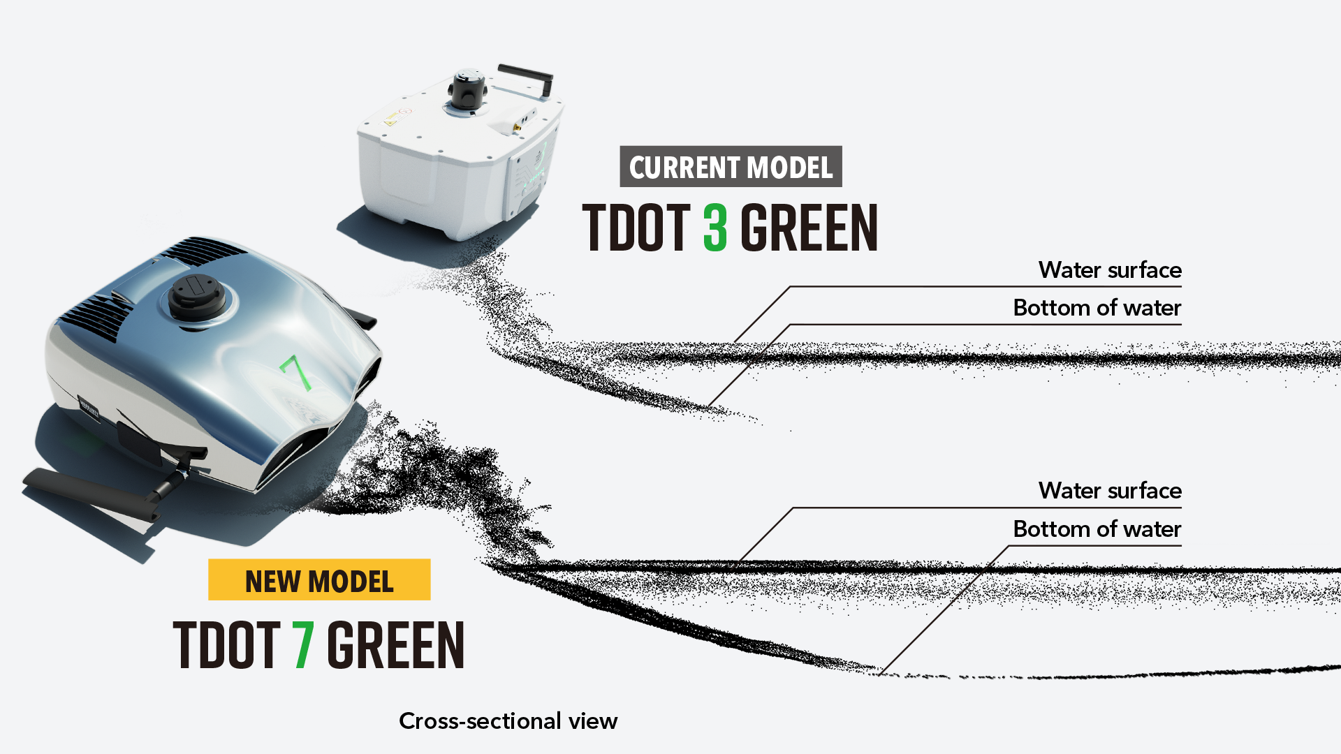
Four years later, we developed and released a drone-mounted green LiDAR system, which is already widely used around the world.
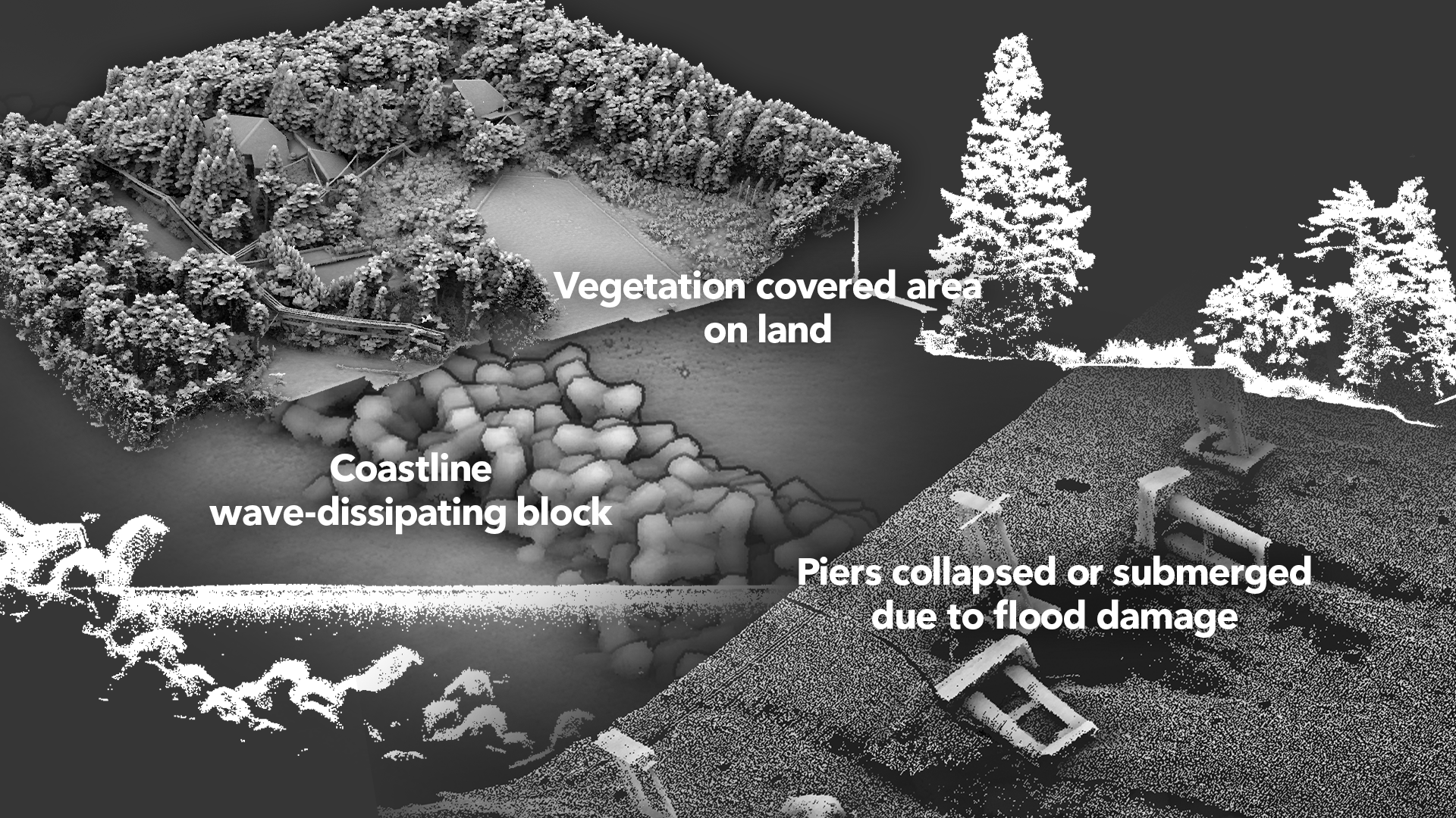
While other green LiDAR systems for drones target only water areas, our product is an amphibious green LiDAR system.
Our new green LiDAR system “TODT 7 GREEN” has FOV of 120 degrees and is suitable for routine land drone LiDAR surveying.
The irradiation rate is about 3 times higher than our existing products.
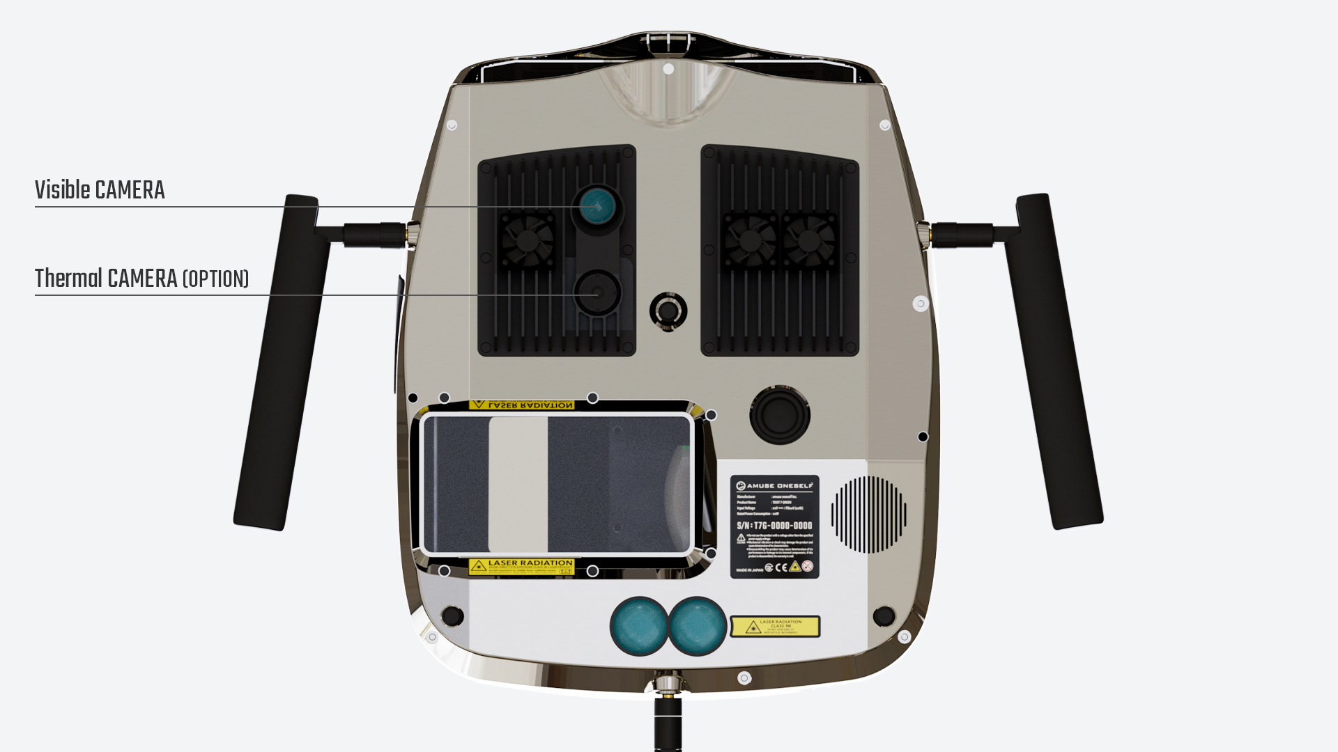
Equipped with a high-resolution visible camera (12.4MP) as standard, it is possible to easily create high-density color point cloud data.
In addition, it is equipped with LTE communication function as standard, and the survey results automatically calculated by TDOT 7 GREEN can be transferred to a server in a remote location in real time.
The weight of the main unit is extremely light at 3.6 kg, allowing for stable flight for long periods of time.
It is the one and only "Always Available" system that can be used from land to water bottom surveying, born from the requests of many users.
SPECIFICATION
- Model name:TDOT 7 GREEN
- Size (approx.):W250xD310xH135mm
- Weight (approx.):3.6kg
- Maximum Range in the air:≧10% 430m , ≧100% 1400m
- Minimum Range:2.5m
- Resolution:1mm
- Statistical error(1σ):4mm
- Accuracy:5mm
- Divergence in scan direction:1.5mrad
- Laser wavelength:532nm
- Laser pulse rate:160,000Hz
- FOV:120°
- Scanning speed:80Hz
- Number of echoes:6
- Laser class:altitude > 35m:class 3R , altitude < 35m:class 1(Laser safety)
INS*
- Positional accuracy:5mm
- Heading:0.03°
- Pitch/Roll:0.006°
- Speed:0.01m/sec.
VISIBLE CAMERA
- Active pixels:3840×3046 12.4Mpixel
Do you have questions about this product?
- Questions about price, availability, and/or retailers
- Questions about technical specifications and usage
- Questions about suitability for your project or application
Documents
Brochure
tdot7green_a4_en.pdf
2.1 MB