
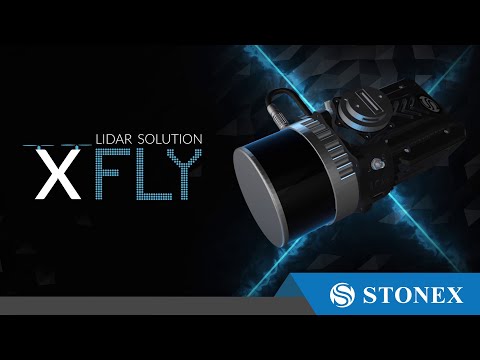
Description
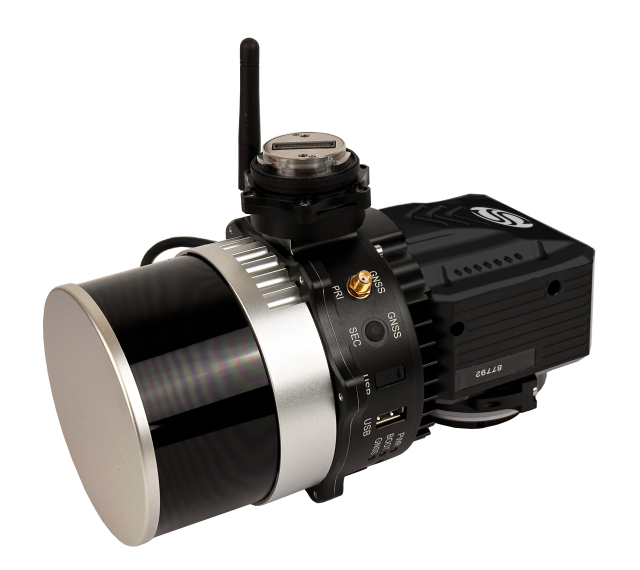
XFLY series integrates high performance Inertial Navigation System with camera and LiDAR for point cloud generation. Different customer’s need can be met by the choice of Hesai LiDAR XFLY120, XFLY300 or other sensors.
The processing platform contains a Wi-Fi interface, an embedded cellular modem for RTCM corrections, data logging software and a gigabit Ethernet network.
Equipped with a high-performance INS, it delivers clean point clouds even at high AGL. As a small, lightweight and low-power system, it allows the user to fly longer, adapting to the needs of any project. The post-processing software provides fully automatic point cloud generation.
200M AGL
Fly up to 200 meter above ground level.
ACCURACY
Thanks to high performances GPS-Aided INS, 3-5 cm point cloud accuracy can be achieved.
CAMERA
24 MP camera adds RGB information to the data. Camera comes to the customer already calibrated and with these boresighting values already saved onto the device.
FLY & DRIVE
Different mounts are offered to support the assembly onto well-known UAVs and other platforms, like cars.
Among the compatible UAVs: DJI M210 – M300 – M350 – M600, Inspired Flight IF1200 Hexacopter, Freefly Alta X, Freefly Astro, WISPR Ranger Pro 1100, Sony Airpeak S1
PPK/RTK DUAL/SINGLE GNSS
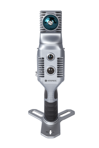
Three integrated 5MP cameras are able to cover the wide field of view of the scanner, obtaining coloured point cloud and panoramic images.
More info: https://www.stonex.it/project/xfly-lidar-solution/
Do you have questions about this product?
- Questions about price, availability, and/or retailers
- Questions about technical specifications and usage
- Questions about suitability for your project or application
Specifications
-
Measurement Characteristics
-
Max. field of view [degrees]
360
Max. number of recorded echoes per pulse
3
multiple pulses in air
Y
Range accuracy [mm]
10
-
Physical Properties
-
Height [cm]
14
Length [cm]
20
Weight [kg]
1
Width [cm]
15
-
Laser Pulse Characteristics
-
Beam divergence [mrad]
0
Max. range of laser pulse [m]
300
Min. range of laser pulse [m]
0
-
Power Supply
-
Operation time on single battery [minutes]
35
-
Positioning System
-
Heading, Pitch and Role internally captured
Y
Typical positioning accuracy [cm]
1
-
Data and Software
-
Included software
Flypost
-
General
-
Year of introduction
2023
Videos


