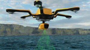
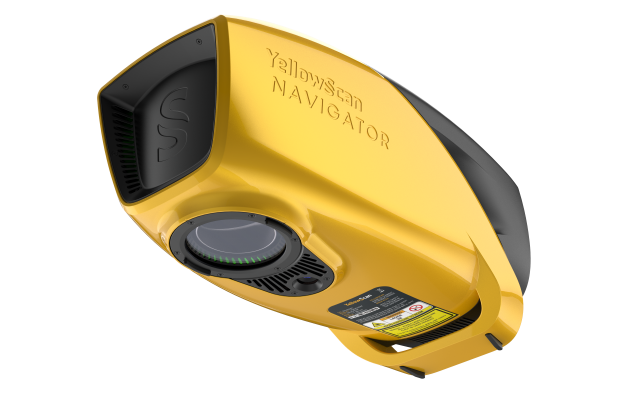

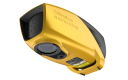

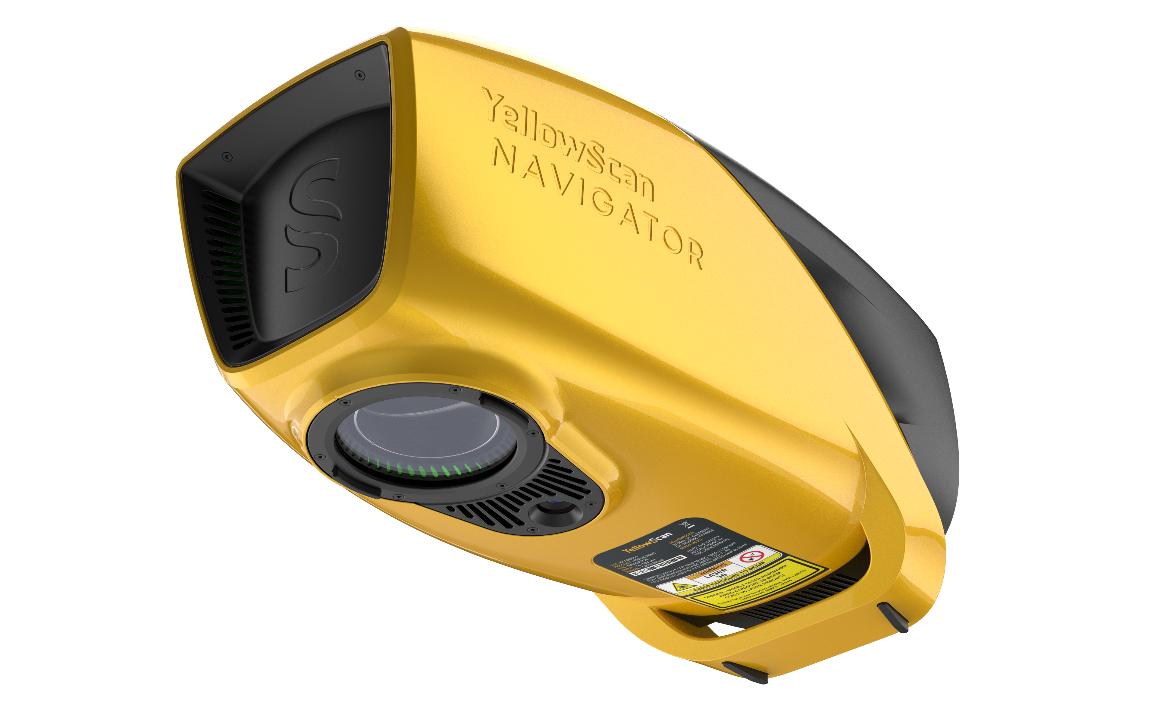
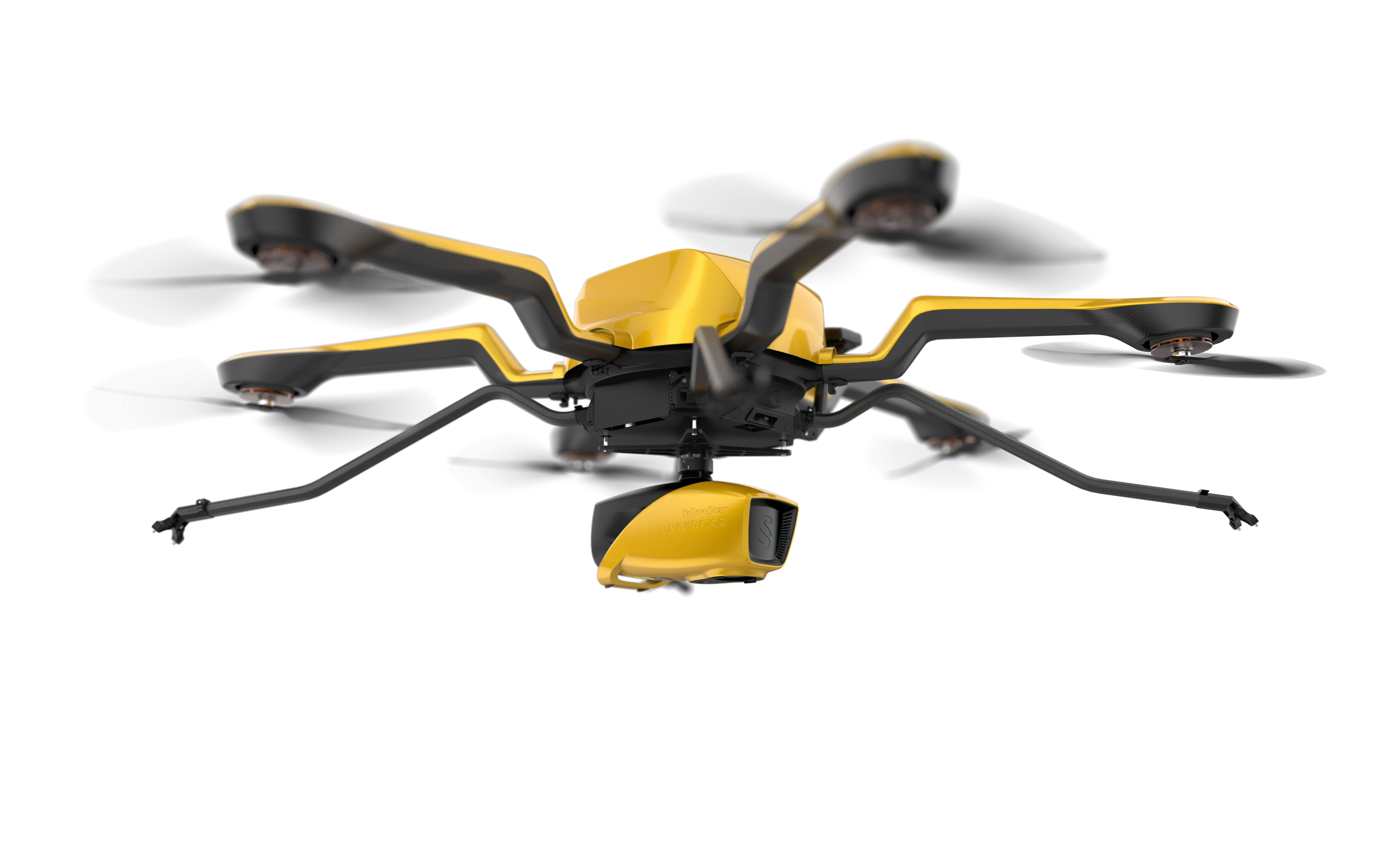
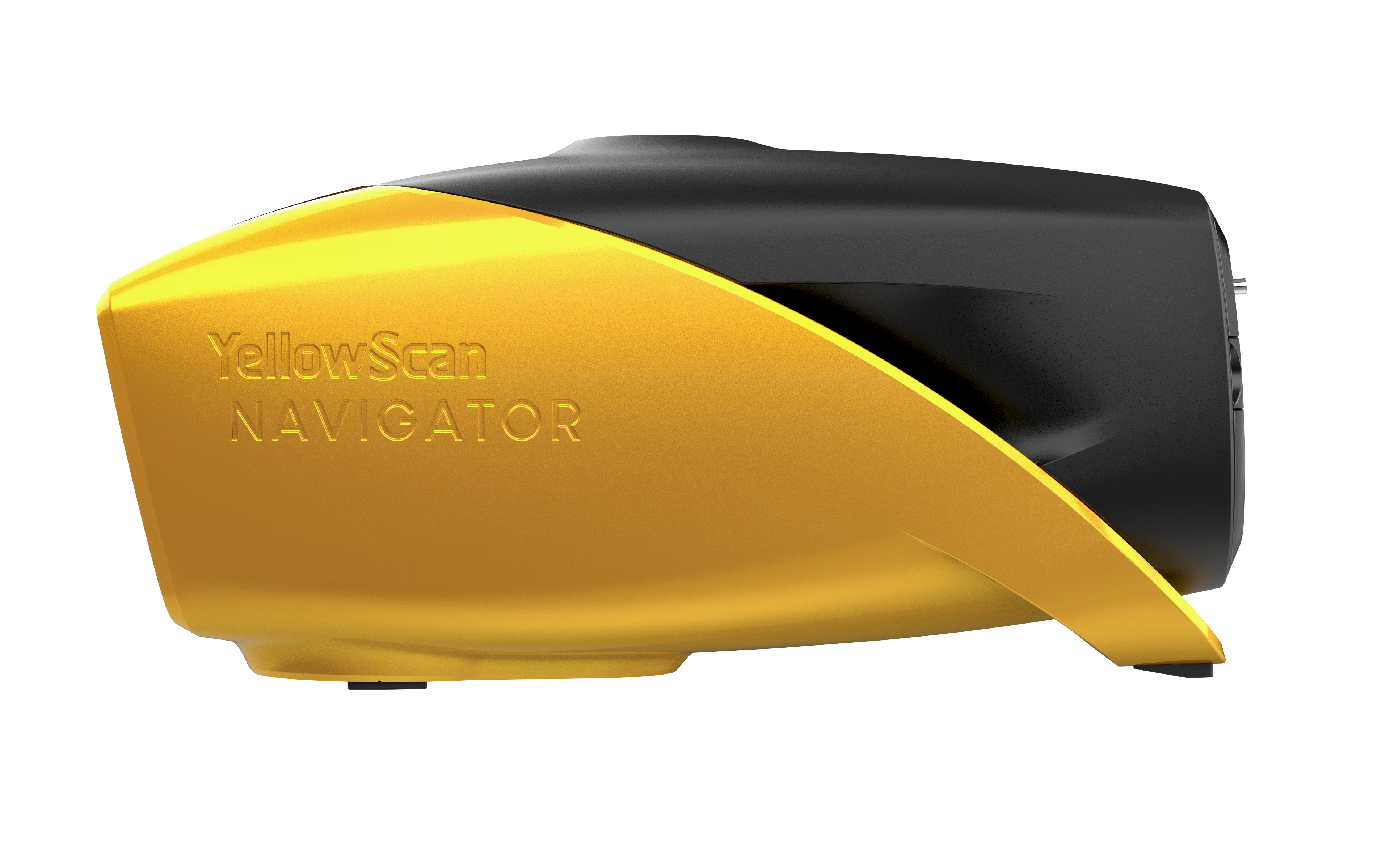
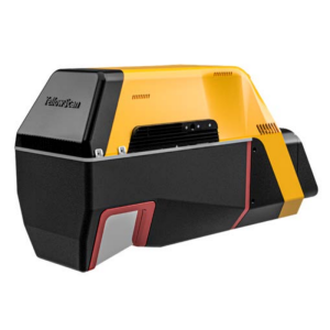
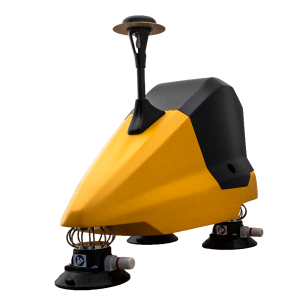
NAVIGATOR
The YellowScan bathymetric LiDAR
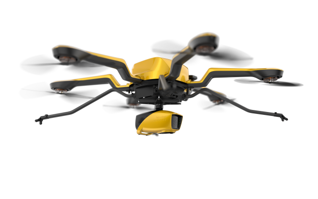
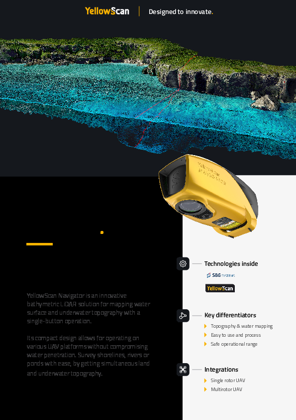
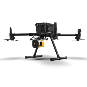
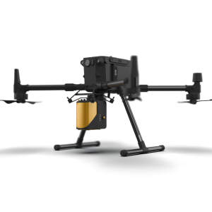
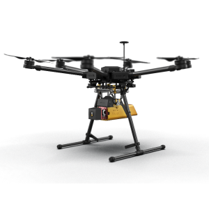
Its lightweight design allows for versatile platform selection without compromising water penetration.

YellowScan
Saint-Clément-de-Rivière, FR
Description
The YellowScan bathymetric LiDAR is an innovative solution for exploring underwater and ground topography with a single-button operation.
Laser Scanner
A YellowScan development
This solution features a laser scanner developed in-house by our R&D team over the last few years with tests that kicked off in 2023, refining the system for optimal performance. This evolution highlights our commitment to innovation and quality, particularly in the development of advanced laser scanners.
Key Figures
AGL Altitude: up to 100 m - 330 ft
System precision: 3 cm - 1.2’’
System accuracy: 3 cm 1.2’’
Battery weight excl. 3,7 kg 8.2lbs
Do you have questions about this product?
- Questions about price, availability, and/or retailers
- Questions about technical specifications and usage
- Questions about suitability for your project or application
Specifications
-
Application
-
Distinguishable features
Lightweight Bathymetric LiDAR Max Depth 2 Secchi
Main applications
Bathymetry
Training, maintanence and support
YellowScan Services
-
Measurement Characteristics
-
Max. field of view [degrees]
44
Max. number of recorded echoes per pulse
up to 10
Max. pulse frequency [Hz]
up to 50
Min. pulse frequency [Hz]
50
Range accuracy [mm]
30
Scanning Speed [measurements p second]
5
-
Physical Properties
-
Height [cm]
19
Length [cm]
35
Weight [kg]
3.7
Width [cm]
16
-
Laser Pulse Characteristics
-
Laser Class
3B
Min. range of laser pulse [m]
120
Wavelength [nm]
532
-
Power Supply
-
Operation time on single battery [minutes]
45
Power consumption
120W
Type of battery
Lithium
-
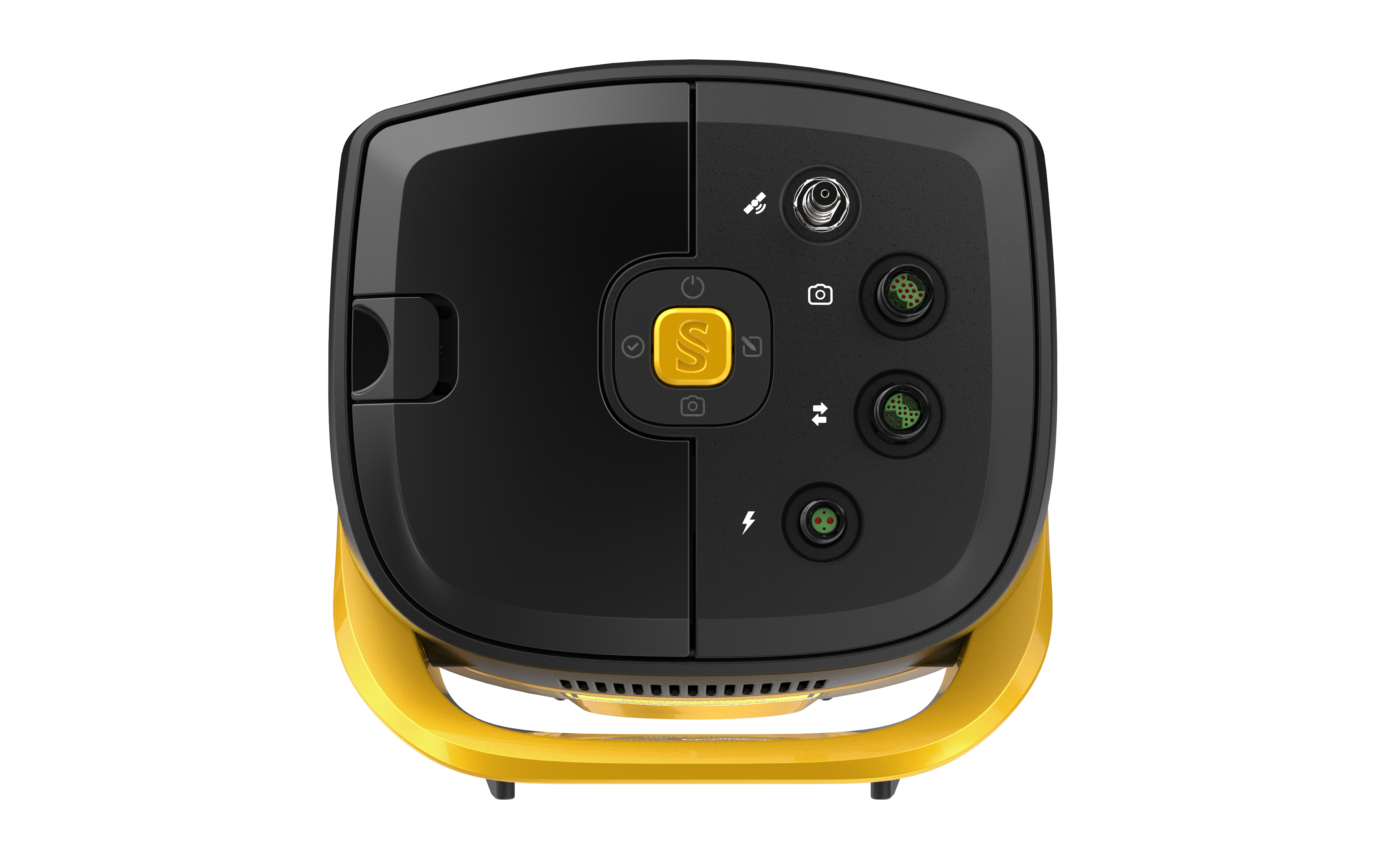
Positioning System
-
Type of GNSS positioning sensors
GNSS Antenna AV18
Type of INS or IMU
SBG Quanta Micro
Typical positioning accuracy [cm]
3
-
Operation Characteristics
-
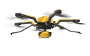
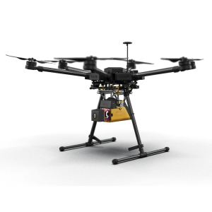
Mounting
Gremsy adapter
Requirements for compatible UAVs
Min payload 3.7 Kg
Camera included
Yes
Camera specifications
RGB Camera
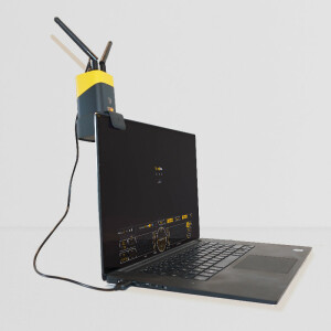
Control and user interface
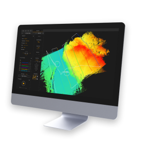
YellowScan LiveStation and CloudStation - Quinertia
-
Data and Software
-
Included software
CloudStation
-
General
-
Year of introduction
2024
Documents
Brochure
Datasheet - YellowScan Navigator.pdf
1.86 MB
Videos
