Digital Aerial Cameras
Digital aerial camera's are calibrated instruments that capture images from airborne vehicles, like planes and helicopters. Aerial cameras are generally characterized by a very high camera resolution and unparalleled quality through a process of continuous testing and calibration. Digital images are used for a wide spectrum of applications, like the creation of orthophoto's, cartography and the creation of maps. Application area's include archaeology, mining and environmental studies, but also reconnaissance, defence and disaster management. A multitude of products can be derived from digital imagery, some examples are elevation models, digital terrain and surface models (DTM and DSM) or city models. With the use of photogrammetry software, also point clouds can be generated with digital images.
Filters
Manufacturer type
Manufacturers
Application
Training facilities
Data storage
Type of storage
Storage Replaceable
Sensor Characteristics
Number of lenses
Pixel size [µm]
Dynamic range [bits]
Measurement Characteristics
Full-wave form digitization
Pulse sampling frequency [GHz]
multiple pulses in air
Recording of intensity of return signal [bits]
Operation Characteristics
Helicopter
Fixed-wing
Min. flying height [m]
Typical flying height [m]
Max flying height[m]
Warm-up time [s]
Forward motion compensation
In flight pre-view
Temperature controlled pod
Platform
Max. acquisition time [hr]
Laser Pulse Characteristics
Wavelength [nm]
Standard pulse length [ns]
Pulse length variation [ns]
Beam divergence [mrad]
General
Year of introduction
Last update
Feature Extraction and Mapping
Mapping facilities
Semi-automatic corner point extraction
Semi-automatic line feature extraction
Semi-automatic building extraction
3D superimposition
Integration with 2D vector maps
Integration with 3D vector maps
Integration with point clouds
Integration with scanned maps
Required Computer System
System includes hardware
Preferred RAM memory [Mb]
64-bit version of software available
Distributed processing capacity
GPU based calculations
Preferred data storage capacity [Gb]
Images and data
Scanned analogue Aerial Photos
Digital Aerial Nadir Frames
Oblique Images
Linear array sensors
Optical Satellite Images
UAS Images
Radar Images
DEMs & Orthoimages
Automatic breakline extraction
Checking facilities (DEM editing)
Automatic contour generation
Mosaicing of orthoimages
True orthoimage generation
Dense DSM creating capability
DSM to DTM filtering
Automatic seam line creation
Dense Image Matching
Orientation and triangulation
Automatic interior
Relative
Automatic aerotriangulation
Automated blunder detection
Self calibration
images simultaneously processed
Image manipulation & processing
Automatic contrast manipulations
Spatial convolution
Resampling
Radiometric adjustment for mosaicing
Hardware
Camera unit Weight [kg]
Camera unit Length [m]
Camera unit Width [m]
Uncertainty and resolution
Pitch and roll pointing precision [deg]
Heading pointing precision [deg]
Elevation precision at 1 km [m]
Planimetric precision at 1km [cm]
Across-track point spacing at 1km [m]
Application areas
Select an application area:
Product characteristics
Choose characteristics:
Showing 1-15 of 38 results
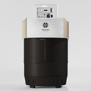
UltraCam Dragon 4.1
UltraCam Merlin 4.1 2010
TOPODRONE PT61
UltraCam Merlin 4.1 3020
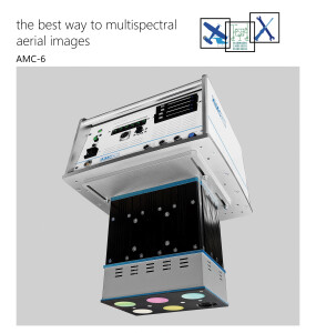
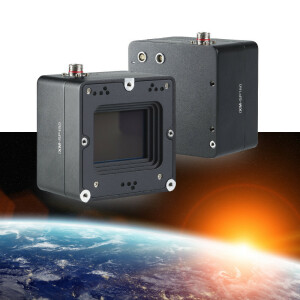
multispectral aerial camera AMC-6
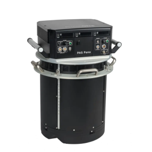
PAS Pana
FJD Trion O1 Aerial Mapper
Leica CountryMapper
iXM-SP150
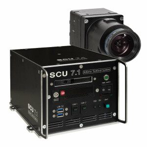
The SCU 7.1 is a powerful system controller
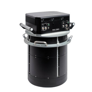
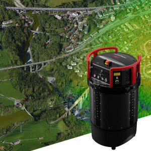
PAS 280i
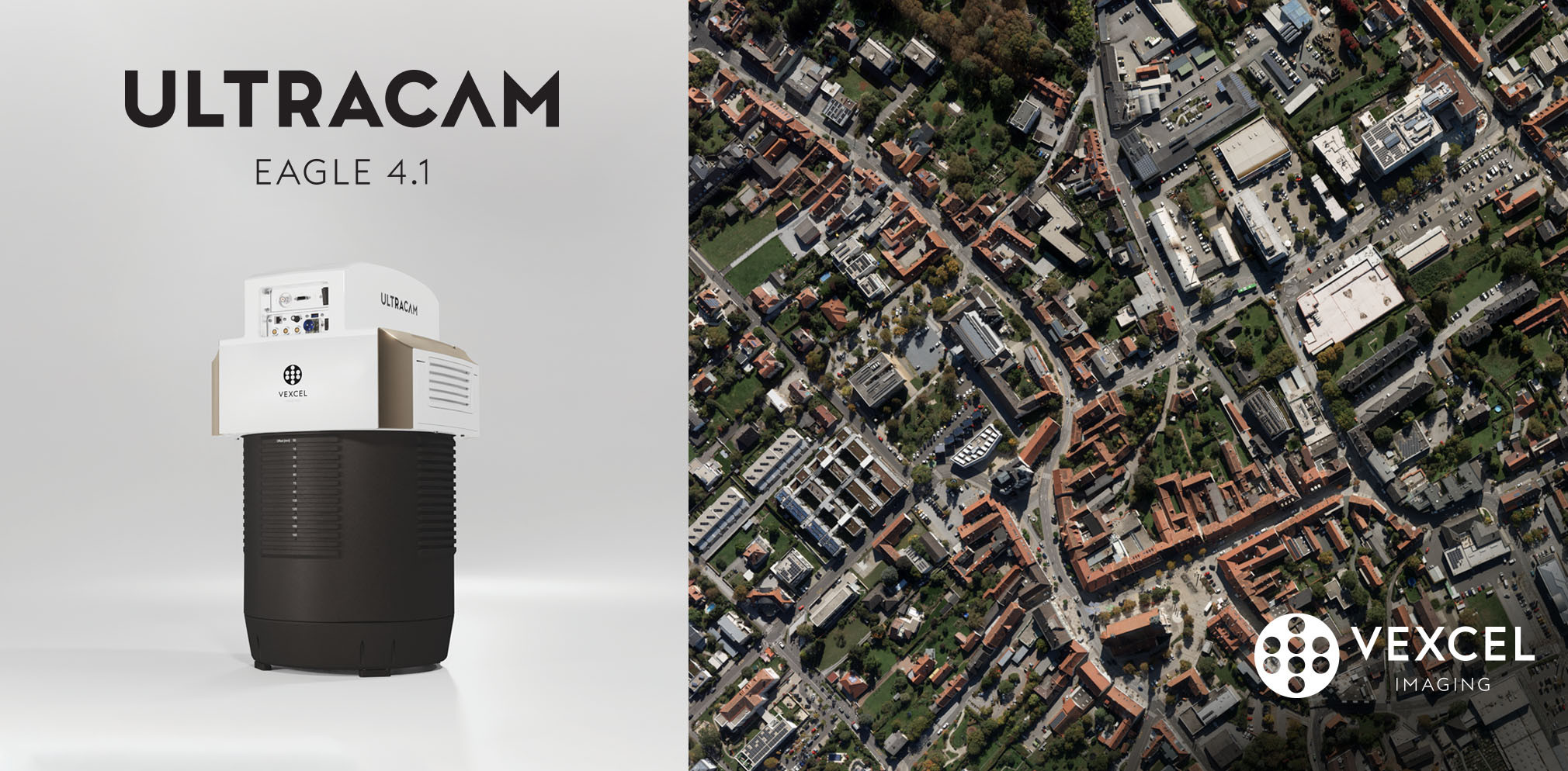
UltraCam Eagle 4.1
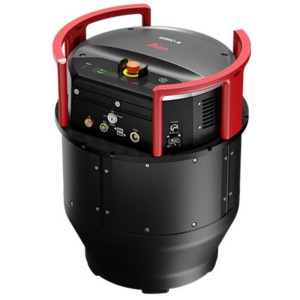
Leica DMC-4 Airborne Imaging Sensor
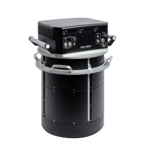
PAS 880i NIR
Need some help? Ask a Geo-matching expert!
Our team and network of 1000+ manufacturers and developers is here to assist you.