


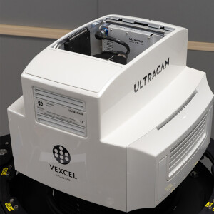
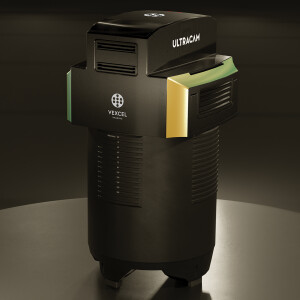
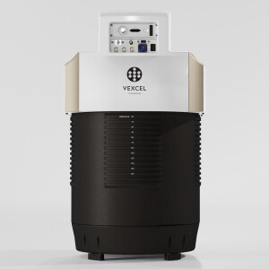
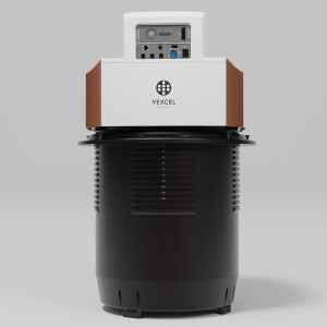
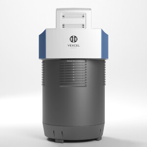
UltraCam Merlin 4.1 3020
Your solution to profitability and business growth
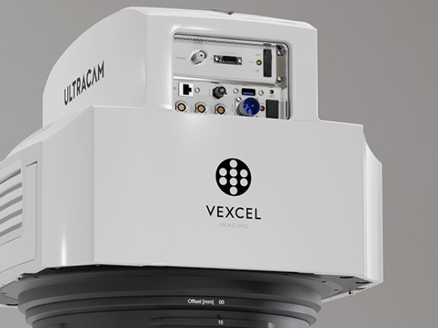
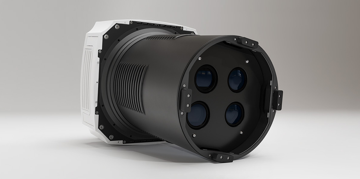
High-performing aerial camera system specifically designed for efficient and cost-effective data collection of large-scale projects, redefining fundamental quality and precision. Featuring three RGB and two NIR sensors, the Merlin 4.1 3020 comes with an expanded 31,300 x 14,016 pixel footprint, significantly enhancing flight collection efficiency. This makes it an ideal solution for customers who prioritize an efficient system approach and aim to cover mid to large-scale projects.

Vexcel Imaging
Graz, AT
Description
The UltraCam Merlin stands out for its highly efficient system concept based on Bayer pattern sensors. This system maximizes the collection window and significantly reduces project costs by combining a rapid frame rate with expansive footprints. Notably, the true nadir alignment of the cones eliminates the need for interpolation, which is otherwise necessary in systems with tilted cones that produce distorted pixels instead of square ones.
The Merlin 4.1 is further complemented by our advanced image processing chain, incorporating proprietary solutions like True Pixel Processing (TPP) and Adaptive Motion Compensation (AMC). This combination guarantees precision results, elevating the UltraCam Merlin 4.1 to a new level of excellence within its Bayer pattern based system class. Two models (Merlin 4.1 2010 and Merlin 4.1 3020) are currently available.
Do you have questions about this product?
- Questions about price, availability, and/or retailers
- Questions about technical specifications and usage
- Questions about suitability for your project or application
Specifications
-
Application
-
Distinguishable features
Equipped with high-end Bayer pattern sensors - True nadir imagery without tilting cones - software-based Adaptive Motion Compensation (AMC) - Best-in-class imaging performance with custom lenses and electronics - Precision results with True Pixel Processing (TPP)
Main applications
Ortho Photos, Point Clouds, DSM, DTM, EO, AT for Photogrammetry, 3D City Modeling, Mining, Oil & Gas, Agriculture, Insurance, Environmental Monitoring, Urban planning, Security & Defense, Disaster Management, Telecommunications
Training facilities
Yes
-
Uncertainty
-
Geometric calibration
Yes
Radiometric calibration
Yes
-
Data storage
-
Storage capacity [GB]
32000
Storage Replaceable
Y
Type of storage
SSD
-
Sensor Characteristics
-
Dynamic range [bits]
14
Lenses: interchangeable
No
Lenses: focal lengths [mm]
120 mm
Max. across-track FOV [deg]
52.2
Megapixels
439
Number of lenses
4
Pixel size [µm]
3.76
Type CMOS
Sony
Max. integration time [s]
0.7
-
Operation Characteristics
-
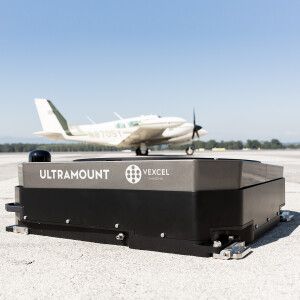
Platform
Fixed-wing
Fixed-wing
Y
Forward motion compensation
Y
In flight pre-view
Y
Max flying height[m]
7.000
-
Software
-
On board image storage format(s)
RAW
Type of postprocessing software
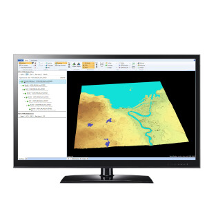
Vexcel UltraMap
Type of mission planning software
Topoflight Mission Planner
-
General
-
Year of introduction
2023
-
Images and data
-
Digital Aerial Nadir Frames
Y
Oblique Images
N
Export data formats
TIFF (8/16 Bit), JPEG, GeoTIFF, WorldFile and 4 channels
-
Hardware
-
Camera unit Depth [m]
0.42
Camera unit Weight [kg]
46
Camera unit Length [m]
0.76
Camera unit Width [m]
0.42
Power requirements
230 W (average) / 250 W (peak)
Type of GNSS/ INS positioning system
UltraNav and most current third party systems
-
Application areas
-
Select an application area:
Construction and Infrastructure, Land Surveying and Cadastre, Oil and Gas, Defense and Security, Other, Cultural Heritage, Mining
-
Product characteristics
-
Choose characteristics:
Nadir
Documents
Brochure
UC_Merlin_4.1_3020_en.pdf
597.9 KB
Videos


