Leica CountryMapper
The world’s first hybrid imaging & LiDAR system for large-area airborne mapping
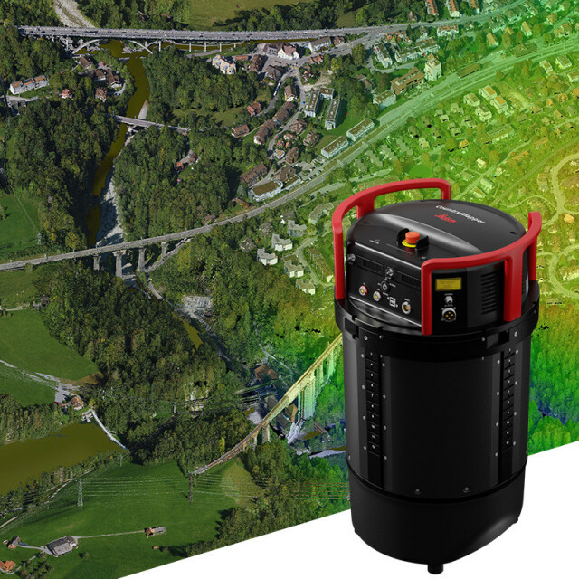
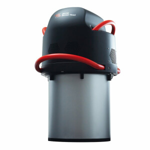
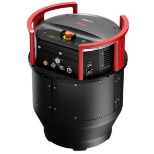
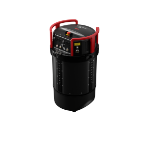
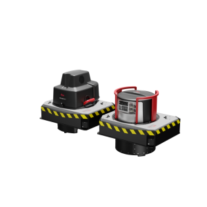
The Leica CountryMapper hybrid airborne sensor combines a large-format photogrammetric camera with a high-performance LiDAR unit into a single system to collect foundational geospatial data simultaneously. Making full use of Leica Geosystems' unique expertise in airborne hybrid technology, the sensor provides the most accurate and comprehensive 2D and 3D data products to support a wide variety of customer applications.

Leica Geosystems Airborne Solutions
Switzerland
Description
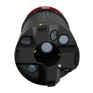
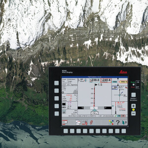
High-Resolution Camera
With over 31,000 pixels across the swath, the camera system provides superior collection efficiency for large-area coverage. CMOS-based Leica MFC150 camera modules leverage true mechanical forward-motion-compensation (FMC) to deliver industry-leading image quality, even at faster aircraft speeds and in challenging lighting conditions.
Full Performance LiDAR Unit
The CountryMapper features the new Hyperion3 LiDAR unit that, with a 60 degrees field of view, significantly improves the performance and flexibility of the system compared to previous generations. Operating at a pulse rate of 2 MHz, the LiDAR module provides reduced laser divergence, enabling greater planimetric accuracy and better foliage penetration.
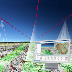
Foundational Geospatial Data
The sensor enables simultaneous collection of aerial images, LiDAR point clouds, DSM and DTM in just one flight. Matching camera and LiDAR modules provide superior geometric and temporal data consistency to support applications such as orthophoto generation, terrain mapping, hydrography, forestry monitoring and infrastructure management.
Do you have questions about this product?
- Questions about price, availability, and/or retailers
- Questions about technical specifications and usage
- Questions about suitability for your project or application
Specifications
-
Data storage
-
Type of storage
-
Operation Characteristics
-
Platform
-
General
-
Year of introduction
2023
Last update
2023
-
Application areas
-
Select an application area:
-
Product characteristics
-
Choose characteristics:
