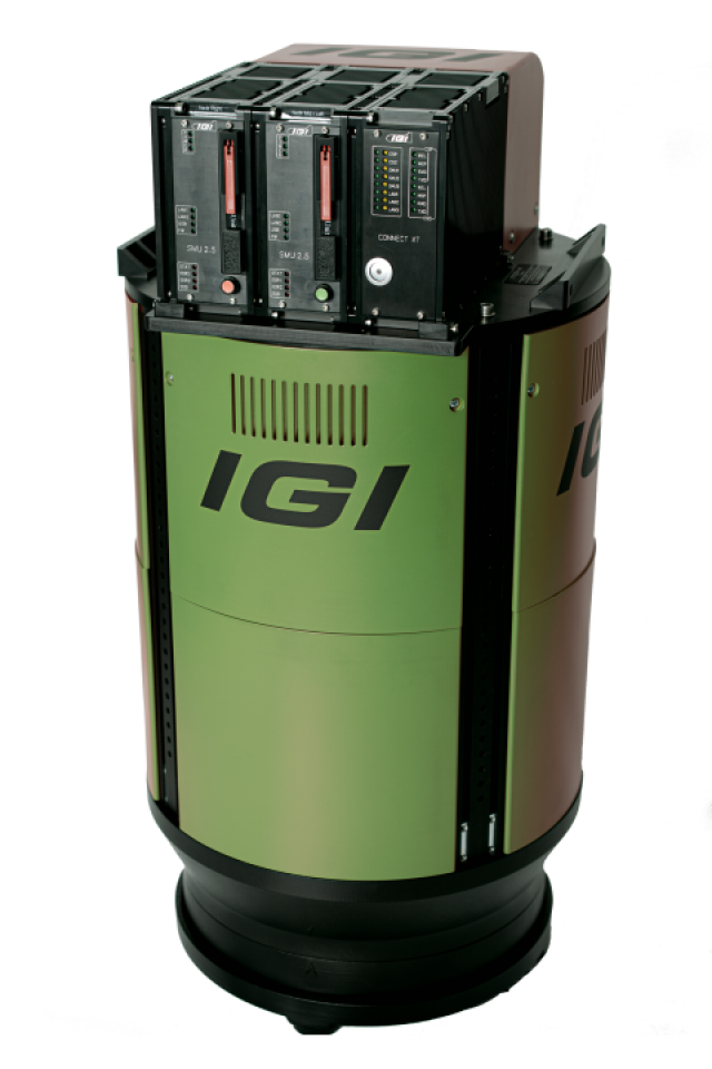

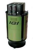

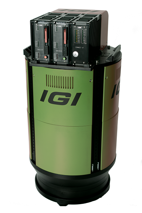

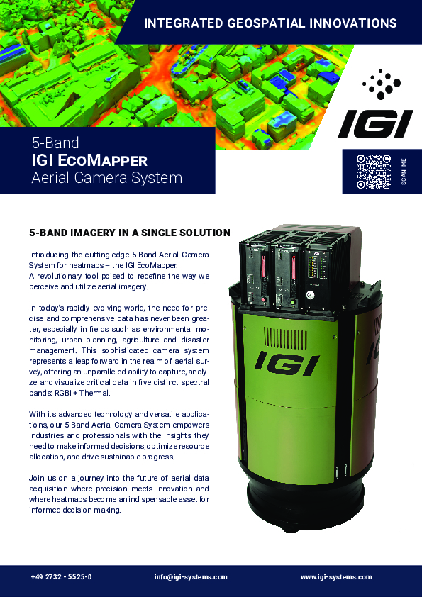
IGI EcoMapper
5-band imagery in a single solution
Introducing the cutting-edge 5-Band Aerial Camera System for heatmaps – the IGI EcoMapper. A revolutionary tool poised to redefine the way we perceive and utilize aerial imagery.

IGI
Kreuztal, DE
Description
In today‘s rapidly evolving world, the need for precise and comprehensive data has never been greater, especially in fields such as environmental monitoring, urban planning, agriculture and disaster management. This sophisticated camera system represents a leap forward in the realm of aerial survey, offering an unparalleled ability to capture, analyze and visualize critical data in five distinct spectral bands: RGBI + Thermal.
With its advanced technology and versatile applications, our 5-Band Aerial Camera System empowers industries and professionals with the insights they need to make informed decisions, optimize resource allocation, and drive sustainable progress.
Join us on a journey into the future of aerial data acquisition where precision meets innovation and where heatmaps become an indispensable asset for informed decision-making.
Do you have questions about this product?
- Questions about price, availability, and/or retailers
- Questions about technical specifications and usage
- Questions about suitability for your project or application
Documents
Brochure
IGI EcoMapper.pdf
2.86 MB


