RiSCAN PRO
RIEGL Terrestrial Laser Scanner Systems
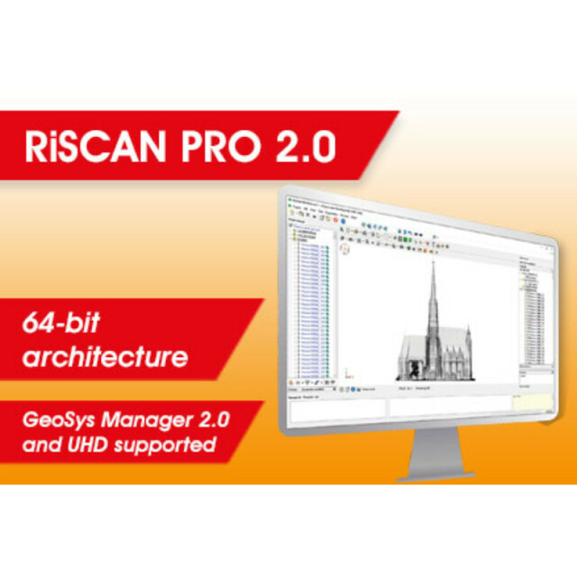
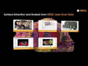
With RiSCAN PRO 2.0 RIEGL's well established Operating & Processing Software for 3D Laser Scanners starts a new area. The 64-bit architecture, geo-referencing support of GeoSysManager 2.0, as well as support for Ultra High Definition (UHD) displays offer new possibilities and speed up processing.

RIEGL | Innovation in 3D
Horn, AT
Description
With RiSCAN PRO 2.0 RIEGL's well established Operating & Processing Software for 3D Laser Scanners starts a new area.
The 64-bit architecture, geo-referencing support of GeoSysManager 2.0, as well as support for Ultra High Definition (UHD) displays, offer new possibilities and speed up processing. The interface has received a fresh new look to provide a simpler and cleaner user experience.
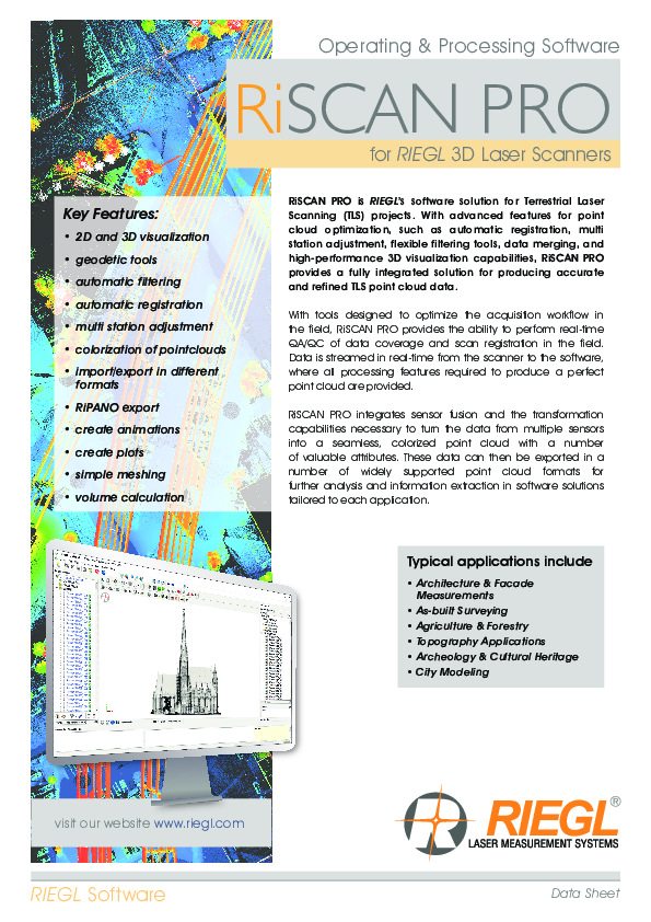
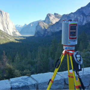
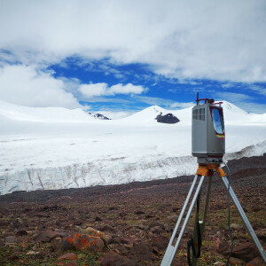
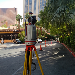
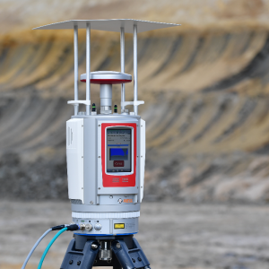
RiSCAN PRO is the companion software for RIEGLTerrestrial 3D Laser Scanner Systems. RiSCAN PRO is project orientated, i.e., the entire data acquired during a measurement campaign are organized and stored in RiSCAN PRO's project structure. These data include scans, fine scans, digital images, GPS data, coordinates of control points and tie points, and all transformation matrices necessary to transform the data of multiple scans into a common well-defined coordinate system.
RiSCAN PRO is designed to optimize the acquisition workflow in the field and provides the tools for visual inspection of overall completeness of data coverage in 3D right after acquisition. In addition to data acquisition, it provides a variety of functions for data processing.
The design of RiSCAN PRO´s project structure enables smooth data transfer to numerous third party post-processing packages. The XML-based project file structure is published and well-documented thus enabling open access to all project information in an easy way.
Different license levels and plugin module licenses allow an adaption to the user-specific requirements.
Do you have questions about this product?
- Questions about price, availability, and/or retailers
- Questions about technical specifications and usage
- Questions about suitability for your project or application
Specifications
-
Hardware/software requirements
-
RAM [GB]
1.024
HD [GB]
100
Processor
[]
Stand-alone
Yes
-
Other
-
Support
Yes
Typical applications
terrestrial laser scanning
Distinguishing features
data acquisition, registration, filtering
Training
Y
-
Files and Registering
-
Input formats
ASCII,LAS,jpg,tif,bmp,rxp,rdd,3dd,vtp
Output formats
ASCII,dfx,ptc,LAS,WRL,pts,ptx,dm,pod
Max. file size (#3D points)
0
Automatic Target Detection
Y
Stitching multiple scans
Y
-
Pre-processing and Automatic Filtering
-
Image matching facilities
N
Frequency domain decoding for data reduction
0
Removal of individual outliers
Y
Removal of vegetation
Y
Removal of buildings
Y
Bare ground DEM generation
Y
-
Manual Measurements
-
3D Coordinates extraction
Y
Length and Height
Y
Angle
N
Distance
Y
Area
Y
Volume
Y
-
Interoperability
-
CAD software
0
Hydrological software
0
Assigning colour from imagery to points
Y
Image overlay on TIN
Y
Integration with other data types
Yes
-
General
-
Year of last update
2019
Year of initial introduction
2003
Modules
0
Source of Point Clouds
Outdoor TLS, Indoor TLS
Supported Systems
RIEGL Laser Scanner
-
Analysis
-
Line of sight
N
Aspect and slope
N
Individual tree heights
N
Simulation facilities
0
Time series analysis
Y
-
Automatically Generated Products
-
Regular Grid DEMs
N
Cross sections
Y
TIN
Y
Contour Lines
Y
Break lines
Y
Boundary detection of solids
Y
Building footprints
N
Building roofs
N
3D City modelling
0
-
Solid Modelling
-
Lines
N
Planes
Y
Cubes
N
Spheres
Y
Cylinders
Y
NURBS
N
Industrial features
0
Earth surface features
0
-
Visualisation and Editing
-
Zoom, pan and rotate
Y
Fly-throughs
Y
Adding Points
N
Removing Points
Y
Point Reduction
Y
Documents
Brochure
RiSCAN PRO Datasheet.pdf
5.87 MB


