
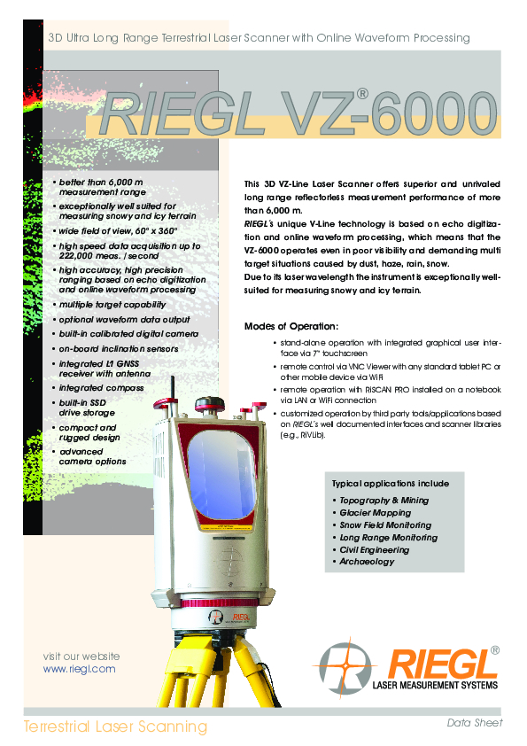
VZ-6000
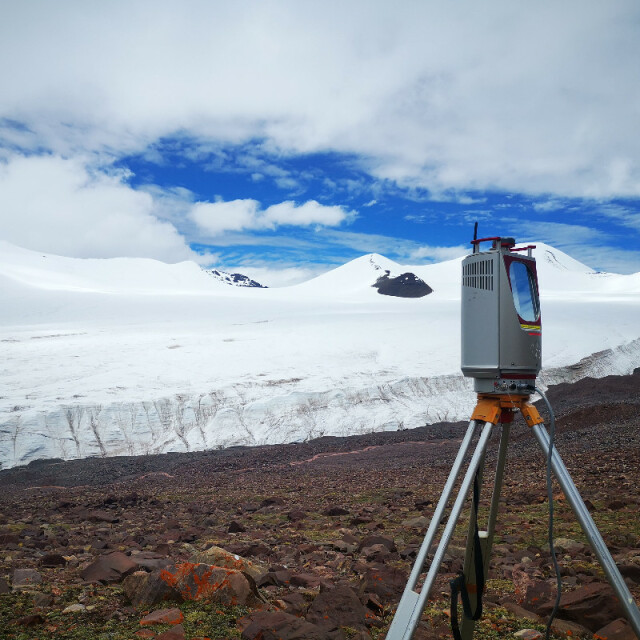
This 3D VZ-Line Laser Scanner offers superior and unrivaled long range reflectorless measurement performance of more than 6,000 m.

RIEGL | Innovation in 3D
Horn, AT
Description
RIEGL ́s unique V-Line technology is based on echo digitization and online waveform processing, which means that the VZ-6000 operates even in poor visibility and demanding multi target situations caused by dust, haze, rain, snow. Due to its laser wavelength the instrument is exceptionally well-suited for measuring snowy and icy terrain.
Do you have questions about this product?
- Questions about price, availability, and/or retailers
- Questions about technical specifications and usage
- Questions about suitability for your project or application
Specifications
-
Application
-
Training facilities
Yes
Main users
surveyors; architects; civil engineers, archaelogy, mining
Main applications
Glacier & Snowfield Mapping, Topography & Mining, Long Range & Snow Field Monitoring, Civil Engineering, Archaeology & Cultural Heritage
Distinguishable features
echo digitization; online waveform processing; multiple target capability; stand-alone data acquisition; HMI-interface; integrated GPS receiver; integrated compass; built-in SSD data storage media; laser plummet; inclination sensors; compact; lightweight, advanced camera options
-
Peripherals
-
External Camera
Y
Export formats of camera image
JPEG, TIFF, RAW
User interface
integrated, tablet, PC, terminal
Specifications
Windows, Android, iOS, Linux
Additional sensors
Inclination sensors, SyncTimer, GNSS receiver, Compass, Laser Plummet
Registration/orientation methods
Stand-alone Registration, Registration via Control Points, Totalstation-like-Registration
-
Operation Characteristics
-
Operating temperature: min. [°C]
-20
Operating temperature: max. [°C]
40
Humidity range [%]
80
Internal Camera
Y
Control panel built in
Y
IP Rating
64
Dual Axis Compensation
Y
-
Scanning Characteristics
-
Max. vertical field of view [deg]
60
Max. horizontal field of view [deg]
360
Min. horizontal step size [deg]
0.002
Min. vertical step size [deg]
0.002
Uncertainty of horizontal step size [deg]
0,0005
Uncertainty of vertical step size [deg]
0,0005
Beam deflection mechanism
rotating/oscillating mirror; rotating head
Max. measurement rate [kHz]
300
-
Software Functionality
-
Software name
RiSCAN PRO
Automatic detection of tie points
Y
Real time visualization during scanning
Y
Geo-referencing
Y
Fitting of primitives
Y
Specification of primitives
lines; planes
Max. size of model [million points]
1000
-
Laser Ranger
-
Range measurement principle
pulse
Laser safety classification
3B
Min. Range [m]
5
Max. Range [m]
6000
Range uncertainty (constant part) [mm]
15
Beam diameter at exit [mm]
16
Beam divergence [mrad]
0.12
Spot at 50 m distance [mm]
17
Intensity recording [bits]
16
-
Power
-
Battery type
external
Scan time per battery [h]
3
-
General
-
Year of introduction
2012
Height [m]
0.45
Depth [m]
0.226
Width [m]
0.248
Total Weight [kg]
14.5
Documents
Brochure
RIEGL VZ-6000 Datasheet.pdf
3.91 MB


