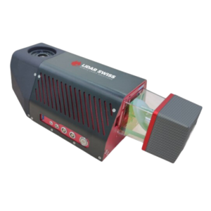
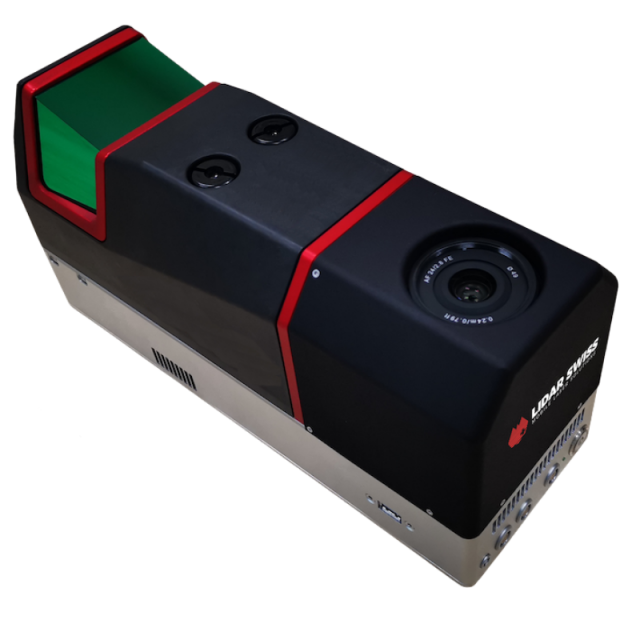
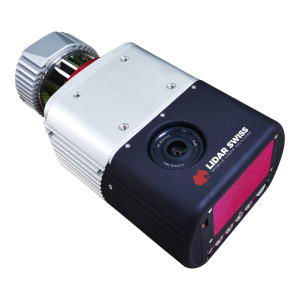
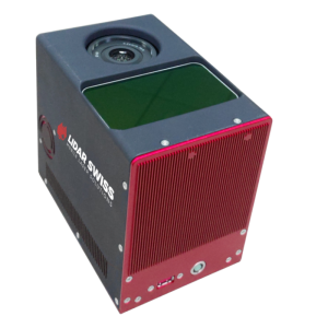
Micro 120
The highest quality extreme point density system on the market.
A game-changing, high accuracy system for all projects, the Micro 120 is the highest-performance UAV LiDAR system. With its maximum laser pulse rate of 1800kHz, this 3.5kg lightweight LiDAR system offers high point density even on VTOL platforms with high flying speed.
LidarSwiss Solutions
Buchs, CH
Description
Micro 120 is the latest high-performance UAV LiDAR system, released in the beginning of 2022. With its maximum laser pulse rate of 1800kHz, this 3.5kg lightweight LiDAR system offers high point density, even on VTOL platforms, with fast flying speed. Fully integrated with a survey grade IMU/GNSS and a high-resolution calibrated camera, Micro 120 is ready off the shelf for mounting on your UAV.
With its small body, elegant design, high accuracy, and ease of use, the advantages of Micro 120 are more than just the typical parameters. With Geo-LAS software to automatically generate RGB laser points and 3D models, Micro 120 provides an accurate and efficient solution to many applications.
Like other LiDAR models in the LidarSwiss product series, Micro 120 supports Geo-RT to create real-time colorized point clouds that can be downlinked to ground station during flight - an ideal technology for quick response application.
Key Features:
- 20° forward and backward view increases point density of vertical objects in flightline direction
- Intelligent system controller
- Automatic RGB attribution to laser points
- Only 30% side lap needed to generate survey grade DOM
- Lifetime system calibration
- Direct geo-referencing technology
- Large data storage space
- Easy to install and operate
LEARN MORE ABOUT THE TECHINCAL PERIMETERS FOR Micro 120 HERE
Specifications
-
Application
-
Main applications
Large area mapping: Land mapping, Forestry mapping, Flood plain mapping, City modeling - Long corridor mapping: Oil and gas pipelines, Highway, Railroads, Coastal lines, Long distance power transmission lines inspection
Training, maintanence and support
Training included in purchase
Distinguishable features
20° forward and backward view increases point density of vertical objects in flightline direction, Intelligent system controller, Automatic RGB attribution to laser points
-
Measurement Characteristics
-
Scanning method
Rotating polygonal mirror
Max. pulse frequency [Hz]
1800000
Max. field of view [degrees]
100
-
Physical Properties
-
Height [cm]
15.8
Length [cm]
32.2
Width [cm]
11.7
Weight [kg]
3.5
-
Laser Pulse Characteristics
-
Laser Class
Class 1, eye safe
Beam divergence [mrad]
0.4
Max. range of laser pulse [m]
500
-
Power Supply
-
Power consumption
80W (max.)
Power requirements
14-30V DC
-
Positioning System
-
Heading, Pitch and Role internally captured
Y
Type of INS or IMU
Survey grade IMU
-
Operation Characteristics
-
Camera included
Yes
Camera specifications
High resolution calibrated camera


