Intelligent and Automated Solutions for Collecting and Managing Forestry Information
How many trees are there in a specific area? How tall are the trees in the area that I am going to harvest timber from? How much carbon is stored in the biomass of the forest that I am studying? How much wood will the forest in front of me yield at harvest? If you are interested in finding the answers to the question above, take a few minutes to read the following article which explains how GreenValley International (GVI) products can be applied to meet common forest inventory and management objectives.
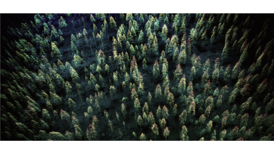
Just a few years ago, people were only able to use remote sensing imagery and photogrammetric data products to determine the stocking level of a forested area. Information from these sources was combined with the field measurements collected by hand in order to answer the questions stated at the beginning of this article. But nowadays, with the recent advancement of Lidar technologies, collecting forest inventory data has become easier than ever. Lidar, as a high accuracy detection instrument, can easily acquire measurements needed to produce three-dimensional point cloud models of forests with centimetre levels of accuracy.
Critical information can be extracted directly from these Lidar point clouds models or calculated when coupled with other sources of forest inventory data. GVI’s turnkey solutions for forest industries include hardware and software products that make Lidar data collection, processing, and analysis possible.
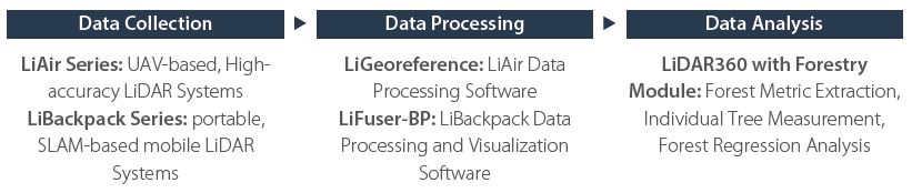
Data Collection
LiAir Series: UAV-based, Highaccuracy Lidar Systems
LiBackpack Series: portable, SLAM-based mobile Lidar Systems
Data Processing
LiGeoreference: LiAir Data Processing Software
LiFuser-BP: LiBackpack Data Processing and Visualization Software
Data Analysis
LiDAR360 with ForestryModule: Forest Metric Extraction, Individual Tree Measurement, Forest Regression Analysis
Recommended Hardware:
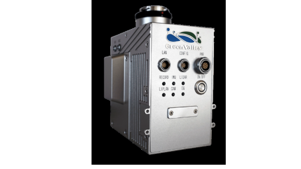
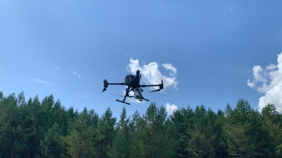
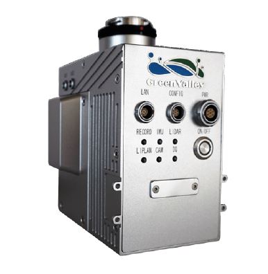
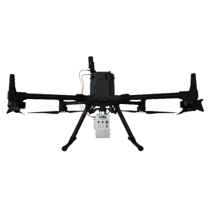
LiAir V70
The LiAir V70’s lightweight and portable design offers a wide-angle field of view and fast scanning rate that make UAV-LiDAR data capture efficient. There are few operating restrictions with this device and it has the adaptability to perform effectively in a wide variety of environments. As a UAV-based 3D laser scanning device, LiAir V70 is well-positioned to obtain detailed and accurate measurement data from hard-to-access upper forest canopy regions.
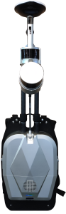
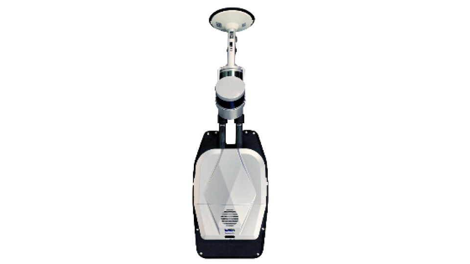
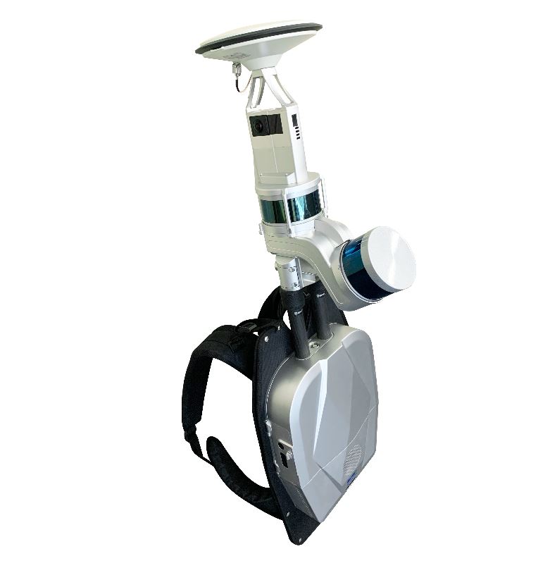
LiBackpack DGC50
LiBackpack DGC50 is the flagship model in GVI’s LiBackpack Series. This system features dual Lidar sensors and a panoramic camera that allow users to capture RGB information and generate coloured point clouds. The device’s SLAM technology enables it to be used in GNSS-denied zones that are commonly found beneath forest canopies. From this scanning perspective, users can obtain the complete structure of the trunks of the trees and the lowest strata of forest canopies. Furthermore, DBH, canopy coverage, etc. can be readily extracted from this type of ground-based Lidar data using tools found in GVI’s LiDAR360 TLS Forest Module.
Data Processing Software:
LiGeoreference
• Post-process GNSS information collected by LiAir INS
• Generate colourized point cloud with high-levels of
absolute accuracy
• Reproject point cloud data to a user-specified target
spatial reference system
• Calculate and apply boresight corrections to LiAir
generated point clouds
LiFuser-BP
• Generate 3D, colourized point clouds from data collected
with LiBackpack models that feature an integrated
panoramic camera
• Produce 3D point clouds using GVI’s advanced SLAM
algorithm
• Adjust data processing parameters based on the
surveying conditions to improve accuracy
• Align spatially overlapping point clouds collected
different times
• Easily clean and manage 3D point cloud data
• Display the data in ways that make it easier for the user
to interpret
Data Analysis Platform:
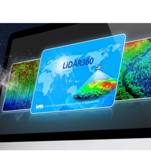
LiDAR360
LiDAR360’s Forestry Module allows users to:
• Obtain the forest inventory metrics rapidly
• Segment forest point clouds into individual trees
• Determine tree densities and stocking levels
automatically
• Perform regression analysis with external plot-level data
inputs and forest Lidar to predict the variables that the
user is interested in (e.g. above-ground biomass, carbon
storage, standing timber volumes, expected yield, etc.)
across an entire area
Do you have questions about this case study?
Get in touch with GreenValley International, and they would be happy to answer any questions you have about pricing, suitability, availability, specs, etc.


![Do-Giant-Tortoises-Make-Good-Neighbors-1[1].jpg](https://cdn.geo-matching.com/vRMO2Edp.jpg?w=320&s=a6108b2726133ff723670b57bc54c812)


