Bathymetric Lidar Sensors and UAVs
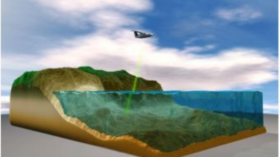
Bathymetric Lidar is an airborne acquisition technology. As opposed to airborne topographic Lidar, which uses an infrared wavelength of 1,064nm, bathymetric Lidar systems use a green wavelength of 532nm to penetrate the water column for measuring the seafloor. In this article you can find an overview of the latest developments in bathymetric Lidar and a product update.
What do Bathymetric Lidar Sensors Consist of?
Bathymetric Lidar sensors can be simplified into four major components:
- The GPS receiver which gives the aircraft position
- The inertial measurement unit (IMU) which gives the roll, pitch and yaw of the aircraft
- The laser scanner which emits the signal in a particular pattern
- The sensor which reads the returning signal.

Knowing the position and orientation of all these components enables accurate measurements to be recorded by the Lidar system. Some of these sensors can now measure more than 100,000 points per second, resulting in surveys with over 10 points per m2 in shallow water. In a recent survey delivered for Samoa, over 1.8 billion points were captured in an area of just over 1,100km2. The deepest of these measurements achieved a depth of just over 75m.
Read the complete article on Hydro International
Individual Characteristics of Bathymetric Lidar Sensors
Bathymetric Lidar sensors arguably tend to have more individual characteristics and differences than topographic Lidar sensors. Importantly, all modern bathymetric Lidar sensors can measure topography in addition to bathymetry. The most obvious split is between the shallow-water (<10m) and deep-water systems (>10m). The shallow-water systems tend to have less laser power per pulse, a higher measurement frequency (high resolution), smaller laser footprint diameter and a smaller receiver field of view, and can generally only measure water depths within the visible water column.
Advances in Bathymetric Lidar Sensors
Recent advances in bathymetric Lidar sensors have been heading in a number of different directions. Some of these advances include multiple sensors in the aircraft, more integrated systems with additional sensors, faster throughput to data products, reflectance calibration between flight lines, greater point density, enhancements for freshwater capture, and enhanced classification of point clouds.
Additionally, it is still early days for the use of bathymetric Lidar sensors in small unmanned aerial vehicles (UAVs), although this is likely to change in the next ten years.
Bathymetric Lidar Solutions on Geo-matching
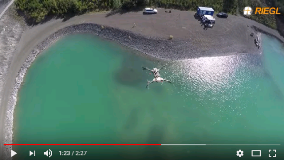
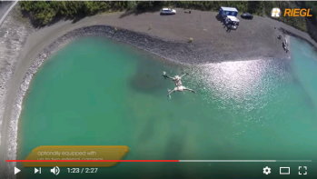
1. RIEGL BathyCopter
RIEGL's BathyCopter is a Small UAV-Based Surveying System for hydrographic applications ideally suited for generating profiles of inland water bodies. The robust and reliable platform design of RIEGL's remotely piloted RiCOPTER now integrates the new RIEGL BDF-1, a compact and lightweight bathymetric depth finder comprised of a tilt compensator, an IMU/GNSS unit with antenna, a control unit and up to two external digital cameras.
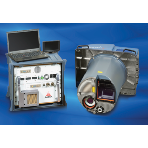
2. Teledyne Optech Titan
As the world’s first multispectral airborne Lidar sensor, Optech Titan is opening up a new era in Lidar survey and mapping. 3D surface spectral response information sensitive to the emitted wavelengths can now be derived day or night from complex environments using a single Lidar sensor.

3. RIEGL VQ-880-G
The RIEGL VQ-880-G is a fully integrated airborne laser scanning system for combined hydrographic and topographic surveying.

More Information on Airborne Lidar Scanners
Geo-matching.com is the world's largest product platform for surveying, positioning and machine guidance with more than 3,000 products from 700 manufacturers. In the Airborne Laser Scanners and UAS for Mapping and 3D Modelling categories, you can find detailed product information from numerous leading product suppliers such as RIEGL, Teledyne Optech and Leica. Take a look for yourself!

Related products


