
Transform Aerial Film Archives into Temporal Basemaps with GeoDyn’s PromptGeoref Services
Scanning of historical aerial films enables access to previously inaccessible film archives. But to fully leverage the value of aerial imagery archive, it is imperative to georeference, aerial triangulate and orthorectify the images to create temporal imagemaps. These maps facilitate quick and accurate examination of any location to determine the relevant details of the What, Where, and When.
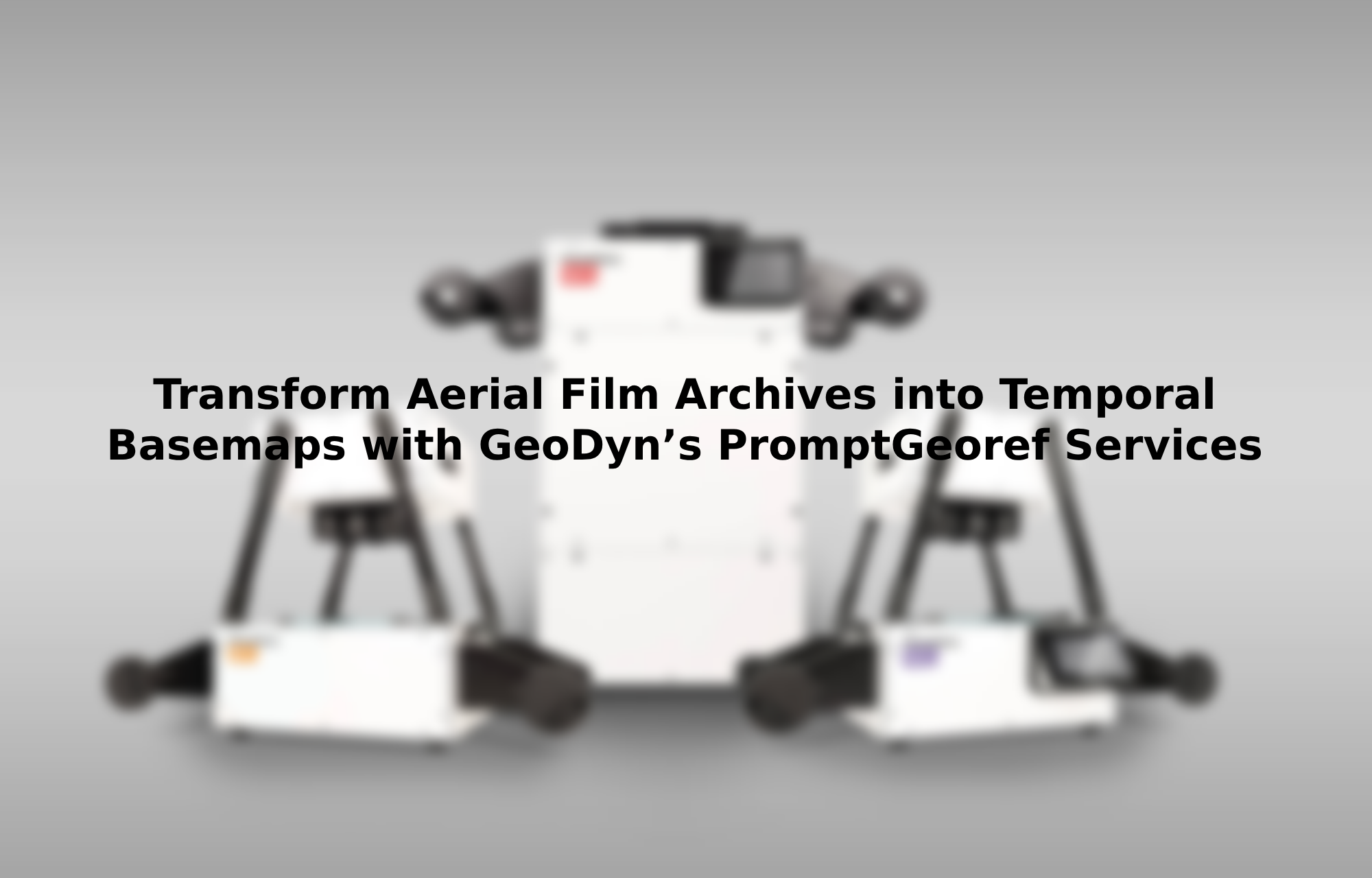
GeoDyn are renowned for our PromptScan photogrammetric scanners used to digitize aerial film archives swiftly and accurately. PromptGeoref is a service GeoDyn provides for efficient georeferencing of scanned aerial imagery followed by aerial triangulation and the generation of orthomosaics. This service can be utilized on PromptScan imagery or images digitized using other aerial film scanners.
Unlock the True Value of Your Aerial Imagery
Have you invested in scanning your historical aerial archives but missed realising the full potential of those images? Or do you wonder what value does your aerial archive hold? GeoDyn's PromptGeoref services enables you to quicky derive the immense value from your scanned aerial archives, leveraging GeoDyn’s extensive experience.
GeoDyn’s comprehensive solution includes:
Scanning: If your imagery is not already digitised from its analogue form, GeoDyn can provide PromptScan photogrammetric scanners to rapidly and accurately scan your full archive. Contact us at [email protected] to know more.
Georeferencing: Automated georeferencing of imagery to determine the approximate location and orientation.
Aerial Triangulation: Determination of accurate image location, orientation and camera parameters to relate pixels to the ground and enable stereo display.
Orthomosaics: Generation of temporal orthomosaics serving as invaluable historical imagery basemaps.
User Access Application: Providing quick, controlled access to the imagery for visualization or analysis.

Achieving the full value of aerial imagery involves more than just scanning, it requires an end-to-end workflows to enable visualization and analysis of the temporal data. PromptGeoref provides this as serivce. We can directly perform the service on full resolution imagery, or provide workflows and training to enable your staff to quickly become proficient in this task, or automate the process using reduced resolution imagery. This last option is what we recommend.
How Does it Work?
Generate Overviews: GeoDyn provides tools that swiftly create compressed reduced-resolution overviews of your scanned images to about 1% of the original size.
Upload to Cloud Storage: Upload the overviews to cloud storage using provided routines or send them to GeoDyn on any storage media disk. Include any relevant flight reports, indices, or print laydowns if available.
Analysis and Proposal: GeoDyn will perform semi-automated analysis of the data provided to identify the approximate location of the images. This is often the hard part. Results are then shared with you as maps showing the location and coverage of all located films and frames.
We then provide a proposal for the costs of completing the georeferencing, aerial triangulation and orthorectification. There is NO CHARGE by GeoDyn till this step !
Georeferencing and preliminary Aerial Triangulation: If the proposal is accepted, GeoDyn will perform georeferencing and initial aerial triangulation and deliver results as web accessible Oriented Imagery Layer enabling the identification of all imagery covering a specific location with all available metadata. The oriented imagery can be set up either within your organization or within ArcGIS Online.
Accurate Aerial Triangulation: GeoDyn will provide scrips to perform the Aerial Triangulation in fully automated processes that runs using ArcGIS within your organization. You only need to measure the predefined ground control points which is a rapid process. Results can be reviewed and refined in consultancy with GeoDyn experts to ensure they meet the required accuracy requirements. The updated Oriented Imagery Layers further provide accurate georeferenced imagery and can also be used for stereo display and measurement.
Orthorectification: Based on the accurate Aerial Triangulation, orthomosaics in the format of your choice are generated using ArcGIS on your own computers. These can then be served as ‘fast to access’ accurate temporal basemaps and as input for further analysis. GeoDyn provides the tools to perform QC and aids in any refinements.

Explore Further Possibilities
If your organisation requires additional services, such as making imagery accessible to constituents as paid or free services, or automatic/manual (AI-based) feature extraction, GeoDyn is ready to tailor proposals to your unique requirements.
GeoDyn's PromptGeoref service helps unlock the full potential of your historical imagery archive.
Contact us today at [email protected]
Visit us at the ESRI User Conference 2024!
Join us this July at the ESRI User Conference from July 15th to July 19th in San Diego, CA, at Booth No. 830. We'll be there to answer your questions, showcase our services, and provide demonstrations. See you there!
Do you have questions about this article?
Get in touch with GeoDyn Technology, and they would be happy to answer any questions you have about pricing, suitability, availability, specs, etc.
Related articles


