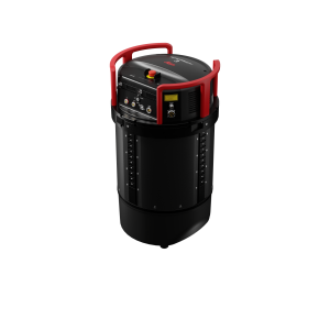
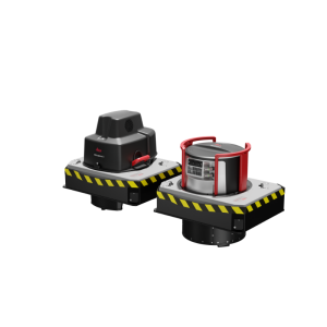
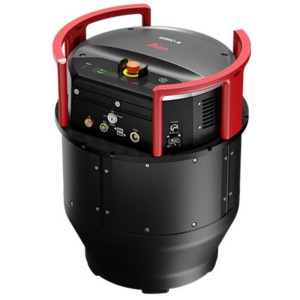
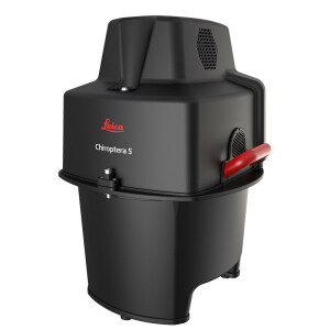
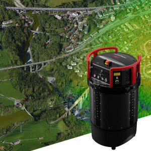
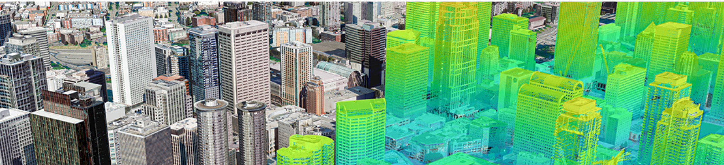


Geo-matching | Your Product Platform for Surveying, Positioning and Machine Guidance Join Geo-matching now!
Leica Geosystems Airborne Solutions
Leica MissionPro is best in airborne mission planning, takes it to the next dimension with the new 3D virtual global view. Enhanced features add new flexibility and
Leica Geosystems Airborne Solutions
The Leica XPro line sensor workflow is straightforward to implement and easy to use for those familiar with the traditional analog frame processing. Most importantly
Leica Geosystems Airborne Solutions
Leica FlightPro is a state-of-the art flight management and sensor control system that makes survey flights more effective and effortless for Leica Geosystems airbor
Leica Geosystems Airborne Solutions
The world's most competent deepwater bathy solution. The Leica HawkEye 4X offers unrivalled bathymetric point density and water penetration down to 50 m depth with t
Leica Geosystems Airborne Solutions
The Leica SPL100 is the single photon LiDAR airborne sensor ideal for large area terrain mapping projects. This system, which is accompanied by an 80 MP RGBN camera,