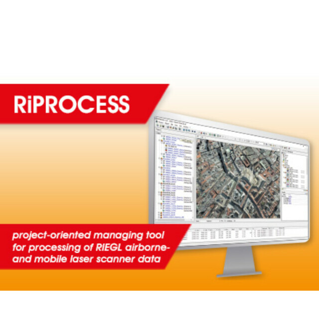
RiPROCESS
RiPROCESS is the RIEGL software package for kinematic LiDAR data processing. It is designed for managing, processing, analyzing, and visualizing data acquired with airborne laser scanning systems (ALS systems), unmanned laser scanning systems (ULS systems), and mobile laser scanning systems (MLS systems) based on RIEGL Laser Scanners.

RIEGL | Innovation in 3D
Horn, AT
Description
With the native support of any raw LiDAR project collected with the RIEGL software RiACQUIRE, it provides a seamless workflow from field collection to analytics ready point clouds:
System calibration:
Based on accurate timestamping, RiPROCESS manages collections and links between trajectories, imagery and point cloud data for the entire project. It stores and applies all relevant system calibration information to handle the different types of data.
Raw data processing:
A built-in waveform module provides high accurate echo extraction and analysis from raw waveform LiDAR and creates spatially sorted discrete point clouds. Multiple-Time-Around (MTA) ambiguities - inevitable by use of high speed LiDAR engines are resolved with state of the art technology. Camera calibration information is used to apply lens distortion correction to any imagery collected with the LiDAR data.
Trajectory adjustment:
Datasets are organized in records to undergo rigid and non-rigid data registration and georeferencing procedures to match external ground control.
Point cloud processing:
Point clouds can be filtered and coloured to meet further analytics requirements.
Data export:
Processed point clouds, imagery and trajectory data can be exported to industry standard export formats for easy access in 3rd party software for further analytics or feature extraction. Where supported by the data format, the data can be transformed into EPSG, or user defined target coordinate reference systems or map projections via the included GeoSysManager.
Functionality enhancement:
The core functionality of RiPROCESS can be extended by Plug-In software tools. For topo-bathymetric LiDAR data processing, RIEGL offers a RiHYDRO Plug-In to extract water surface models and apply refraction and runtime corrections on subsurface LiDAR measurements. The LIS ALS Classification Plug-In provides additional classification routines for the ASPRS compliant classes ground, building, low/medium/high vegetation.
Do you have questions about this product?
- Questions about price, availability, and/or retailers
- Questions about technical specifications and usage
- Questions about suitability for your project or application
Specifications
-
Hardware/software requirements
-
Use of GPU
N
Processor
["32-bit"]
Stereo Display
N
Stand-alone
Yes
-
Other
-
Support
Yes, online/phone/user meeting
Training
Y
Typical applications
managing, processing, analyzing, and visualizing
Distinguishing features
project-oriented software for managing and processing RIEGL ALS, ULS and MLS data operation in a multiple-workstation environment, parallel task processing fast access to data for inspection in different visualization formats system calibration and scandata adjustment statistical analysis of referencing, matching quality point cloud classification interfacing to third party software packages
-
Files and Registering
-
Input formats
RIEGL native formats
Output formats
ASCII.LAS,PTS,PULSE WAVES,jpg,png,
Geo-referencing
Y
Automatic Target Detection
N
Stitching multiple scans
Y
-
Pre-processing and Automatic Filtering
-
Image matching facilities
N
Frequency domain decoding for data reduction
No
Removal of individual outliers
Y
Removal of vegetation
Y
Removal of buildings
Y
Bare ground DEM generation
Y
-
Manual Measurements
-
3D Coordinates extraction
Y
Length and Height
Y
Angle
Y
Distance
Y
Area
N
Volume
N
-
Interoperability
-
CAD software
No
Hydrological software
No
Assigning colour from imagery to points
Y
Image overlay on TIN
N
Integration with other data types
Yes, georeferenced images/maps
-
General
-
Year of last update
2021
Year of initial introduction
2007
Source of Point Clouds
Airborne Lidar
Supported Systems
RIEGL Laser Scanners
-
Analysis
-
Line of sight
N
Aspect and slope
N
Individual tree heights
N
Simulation facilities
No
Time series analysis
N
-
Automatically Generated Products
-
Regular Grid DEMs
Y
Cross sections
Y
TIN
N
Contour Lines
N
Break lines
N
Boundary detection of solids
N
Building footprints
N
Building roofs
N
3D City modelling
No
-
Solid Modelling
-
Lines
N
Planes
Y
Cubes
N
Spheres
Y
Cylinders
N
NURBS
N
Industrial features
No
Earth surface features
No
-
Visualisation and Editing
-
Zoom, pan and rotate
Y
Fly-throughs
Y
Adding Points
Y
Removing Points
Y
Point Reduction
Y
Documents
Brochure
datasheet_RiPROCESS
Other documents
-
RiMAP Infosheet.pdf5.56 MB


