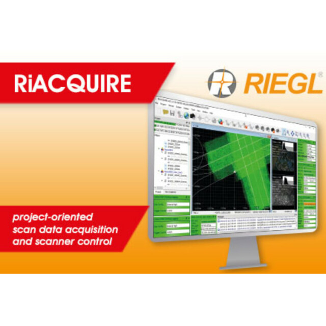
RiACQUIRE
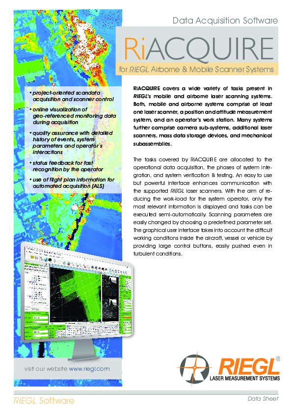
RiACQUIRE covers a wide variety of tasks present in RIEGL's mobile and airborne laser scanning systems. Both, mobile and airborne systems comprise at least one laser scanner, a position and attitude measurement system, and an operator's work station.

RIEGL | Innovation in 3D
Horn, AT
Description
RiACQUIRE covers a wide variety of tasks present in RIEGL's mobile and airborne laser scanning systems. Both, mobile and airborne systems comprise at least one laser scanner, a position and attitude measurement system, and an operator's work station.
Many systems further comprise camera sub-systems, additional laser scanners, mass data storage devices, and mechanical subassemblies.
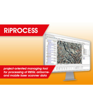
The tasks covered by RiACQUIRE are allocated to the operational data acquisition, the phases of system integration, and system verification & testing.
An easy to use but powerful interface enhances communication with the supported RIEGL laser scanners. With the aim of reducing the work-load for the system operator, only the most relevant information is displayed and tasks can be executed semi-automatically.
Scanning parameters are easily changed by choosing a predefined parameter set. The graphical user interface takes into account the difficult working conditions inside the aircraft, vessel or vehicle by providing large control buttons, easily pushed even in turbulent conditions.
Do you have questions about this product?
- Questions about price, availability, and/or retailers
- Questions about technical specifications and usage
- Questions about suitability for your project or application
Specifications
-
Hardware/software requirements
-
Use of GPU
N
Processor
["32-bit"]
Stereo Display
N
Stand-alone
Yes
-
Other
-
Support
Yes, online/phone/user meeting
Typical applications
data acquisition, system integration, testing,
Distinguishing features
The tasks covered by RiACQUIRE are allocated to the operational data acquisition, the phases of system integration, and system verification & testing.- project-oriented scandata acquisition and scanner control online visualization of geo-referenced monitoring data during acquisition- quality assurance with detailed history of events, system parameters and operator's interactions - status feedback for fast recognition by the operator use of flight plan information for automated acquisition (ALS)
-
Files and Registering
-
Input formats
RIEGL native formats, aaplanix. IGI, OxTS, IXsea,
Output formats
RIEGL native formats
Geo-referencing
Y
Automatic Target Detection
N
Stitching multiple scans
Y
-
Pre-processing and Automatic Filtering
-
Image matching facilities
N
Frequency domain decoding for data reduction
No
Removal of individual outliers
N
Removal of vegetation
N
Removal of buildings
N
Bare ground DEM generation
N
-
Manual Measurements
-
3D Coordinates extraction
Y
Length and Height
N
Angle
N
Distance
N
Area
N
Volume
N
-
Interoperability
-
CAD software
No
Hydrological software
No
Assigning colour from imagery to points
N
Image overlay on TIN
N
Integration with other data types
Yes, georeferneced images/maps
-
General
-
Year of last update
2014
Year of initial introduction
2007
Source of Point Clouds
Airborne Lidar
Supported Systems
RIEGL Laser Scanners ALS & MLS
-
Analysis
-
Line of sight
N
Aspect and slope
N
Individual tree heights
N
Simulation facilities
No
Time series analysis
N
-
Automatically Generated Products
-
Regular Grid DEMs
N
Cross sections
N
TIN
N
Contour Lines
N
Break lines
N
Boundary detection of solids
N
Building footprints
N
Building roofs
N
3D City modelling
No
-
Solid Modelling
-
Lines
N
Planes
N
Cubes
N
Spheres
N
Cylinders
N
NURBS
N
Industrial features
No
Earth surface features
No
-
Visualisation and Editing
-
Zoom, pan and rotate
Y
Fly-throughs
Y
Adding Points
N
Removing Points
N
Point Reduction
Y
Documents
Brochure
RiACQUIRE Datasheet.pdf
4.34 MB


