


Geomatics Office Software (CGO) 2.0
GNSS Data Post-Processing Software
CHC Geomatics Office Software (CGO) 2.0 is a powerful office software, designed for engineers as an integrated platform to make a link between field and office workflow from multiple sensors and generating rich deliverables.

CHC Navigation | CHCNAV
Shanghai, CN
Description
-
PROCESS MASSIVE FIELDWORK DATA
Integrate GNSS, RTK, ROAD, and UAV modules
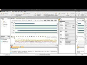
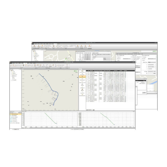
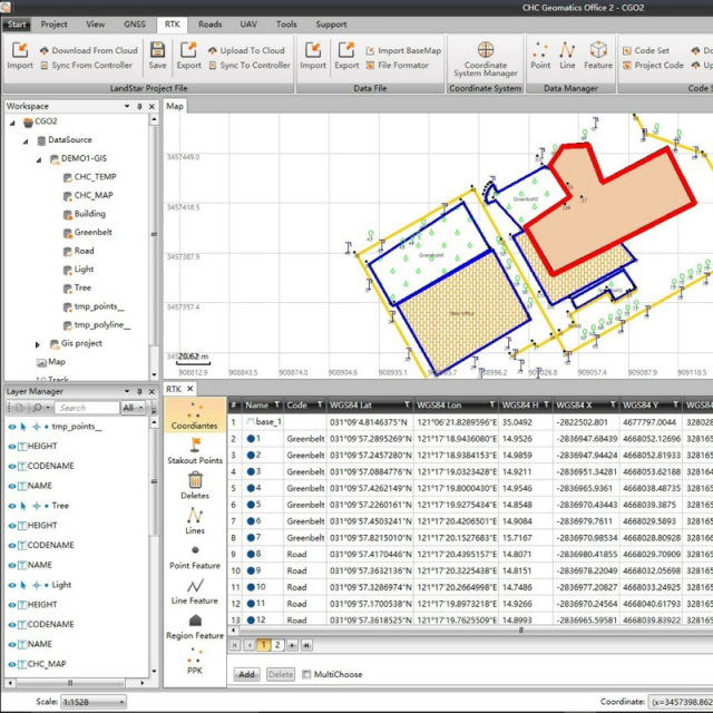
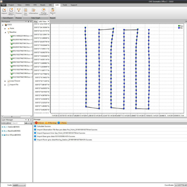
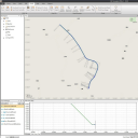
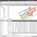
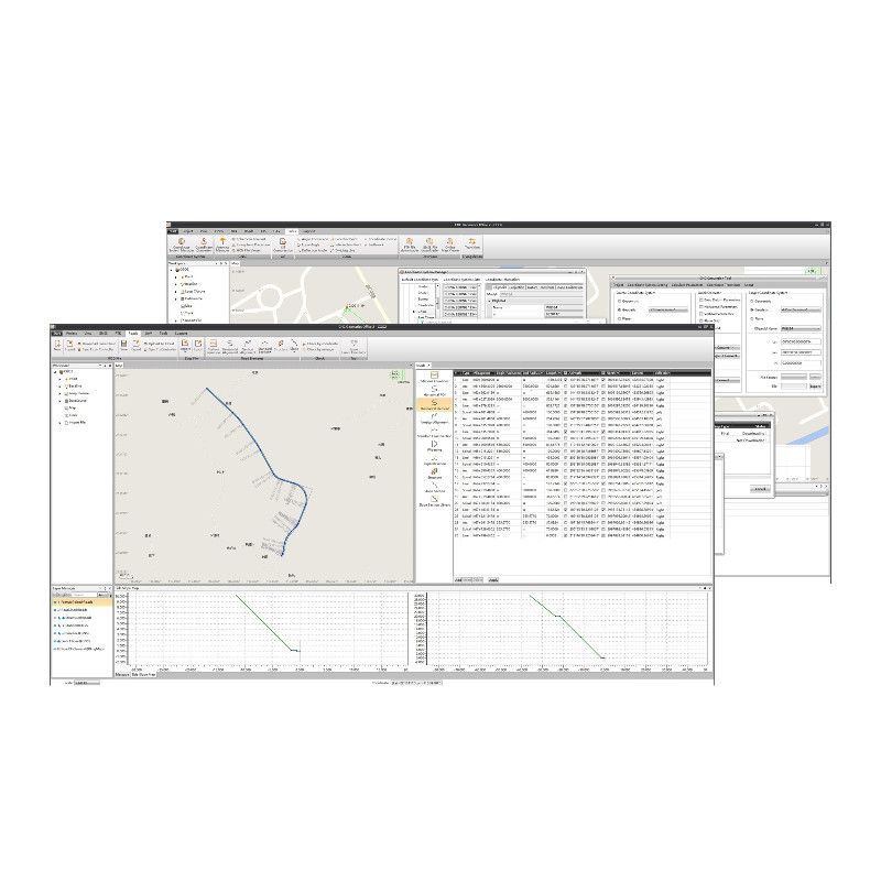
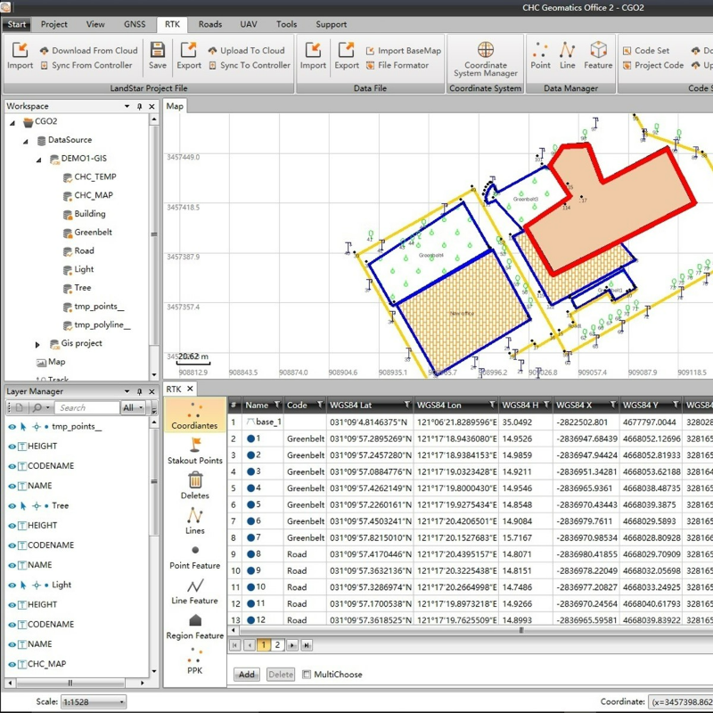
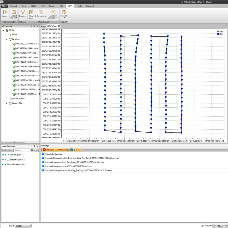
CGO2 is all-in-one software to process GNSS data in static, PPK, and PPP algorithms, edit surveyed features and use PPK post-processing results to correct field coordinates, stake out road elements, and compute corrected UAV track coordinates.
-
DELIVER HIGH-ACCURACY GEODETIC POSITIONS
Embed the latest algorithms for ultra-fast and reliable data processing
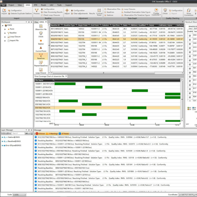
With a few clicks, GPS, GLONASS, BeiDou, and Galileo static or dynamic GNSS raw data can be processed by combining multiple observation file formats, predefined coordinate systems, and various manufacturer antenna types.
-
MORE TOOLS FOR EASIER OFFICE WORK
Comprehensive geodetic utility Toolset
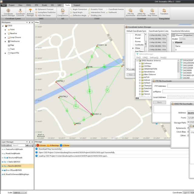
More than post-processing, CGO2 offers a large library of geodetic tools, including coordinates and RINEX converters, TIFF map compressor (SIT), angle, distance and volume calculator, GNSS antenna manager, and GNSS observation file splitter and merger.
-
INTUITIVE WORKFLOW FOR FASTER PROCESS
Short learning curve and easy-deployment
The CGO2 user interface layout and modules are customisable to have GGO2 adopt your preferred working habits. GNSS data processing is made easy throughout the entire process and fully documented in the built-in electronic user manual.
CHCNAV Geomatics Office Software (CGO2) is a powerful office software to edit, process, and analyse GNSS raw data to obtain high-accuracy positions. Designed as a fully-integrated platform to link your field survey and GNSS post-processing requirements, CGO2 is an advanced yet easy-to-use GNSS data post-processing solution for geodetic, surveying, UAV tractography, and ground control points (GCPs) and road construction applications.
Do you have questions about this product?
- Questions about price, availability, and/or retailers
- Questions about technical specifications and usage
- Questions about suitability for your project or application
Specifications
-
GNSS data and processing
-
Static baseline post-processing
Y
Output data for least squares adjustment with data from other sources
Y
Post processed kinematic
Y
Input data formats supported
RINEX, .HCN, .NOV, .BD9, .txt
GNSS static / RTK data collection
Y
GNSS setting out
Y
Base and rover RTK
Y
-
CAD functions
-
CAD functions for Internal measured building surveys
N
CAD functions for open drainage modelling
N
CAD functions for Rail applications
N
CAD functions for Road applications
N
CAD functions for Pipeline applications
N
CAD functions for Overhead Power Line applications
N
Output formats supported
RINEX, .HCN, .KML, .SHP, .DXF, .HTML, .CSV, .RAW, .txt
-
General
-
Software version
2.0.0.286
Mobile (real time connected to instrument)
Y
Laptop / Office computer (post processing)
Y
-
Integrated environment for
-
GNSS data
Y
GNSS + dead reckoning data (Mobile Mapping)
N
TPS data
N
Point cloud data
N
Level data
N
Integrated least squares computation of control
Y
Transformation between map projections
Y
Compute grid DTM
N
Compute TIN
N
Computation of sections through surfaces
N
Volume computation from sections
Y
Volume computation by substracting surfaces
Y
-
More information
-
Distinguishable features
Users can process massive fieldwork data in one software. Process data with Static, PPK, PPP algorithms in the GNSS module. Edit surveyed features and use PPK post-processing results to correct field coordinates in the RTK module. Check and input designed road elements for road stakeout in the Road module, and get corrected UAV track coordinates by using both RTK and PPK algorithms in the UAV data processing module.
Documents
Brochure
cgo-2-ds-en.pdf
650.9 KB


