


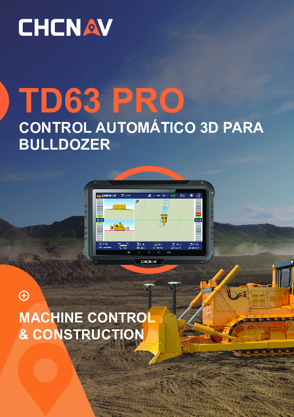
TD63 PRO
Automatic 3D dozer control system
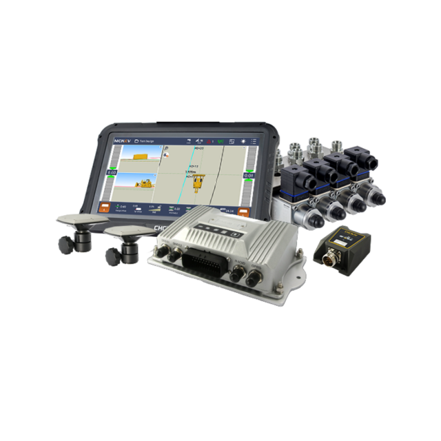
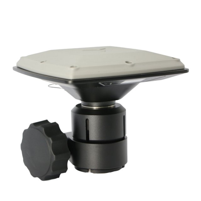
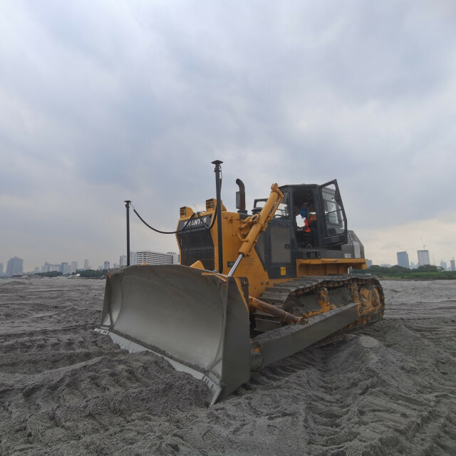
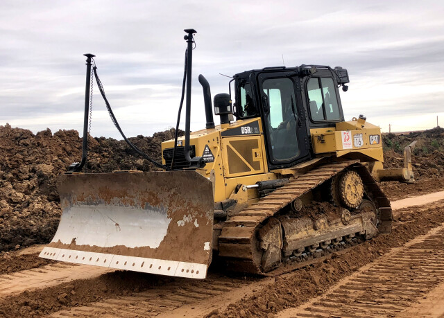
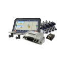
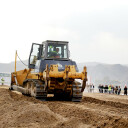
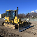
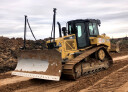
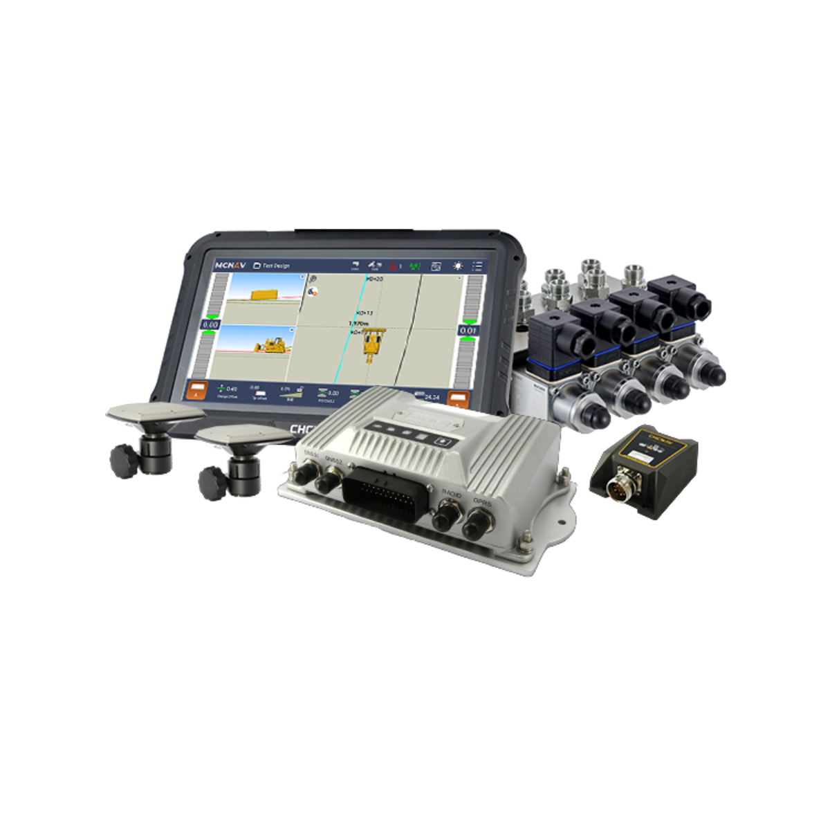
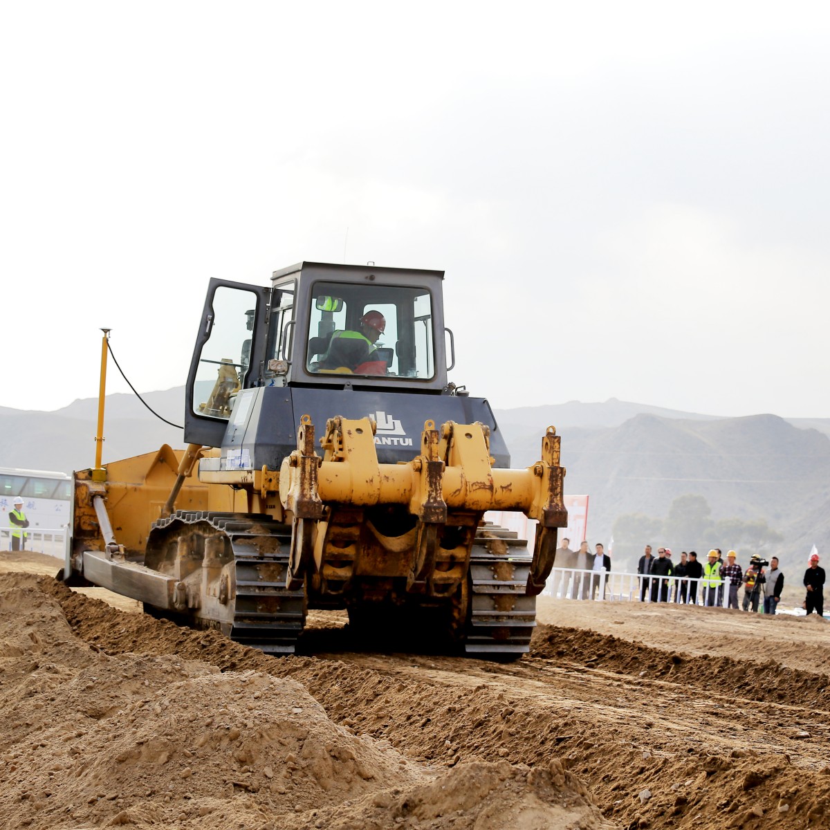
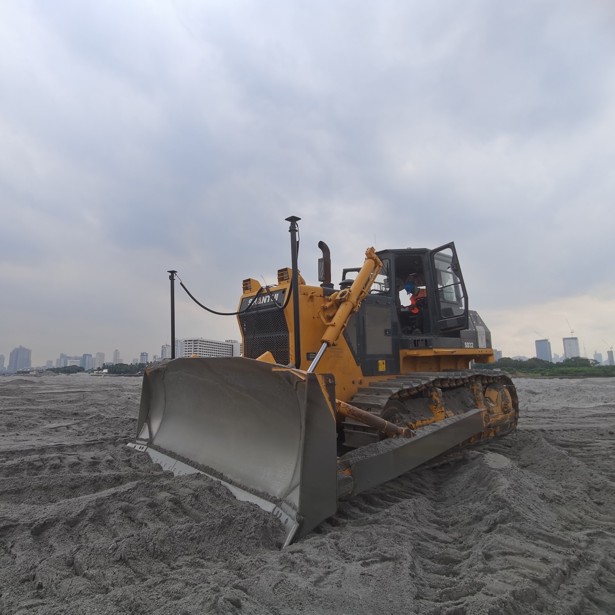
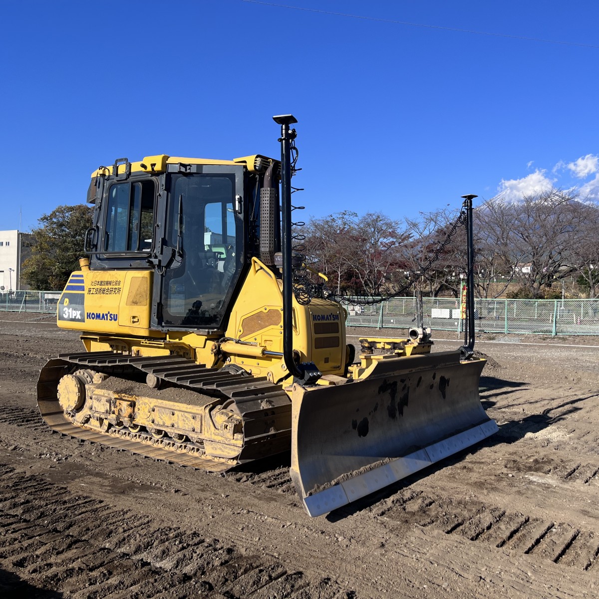
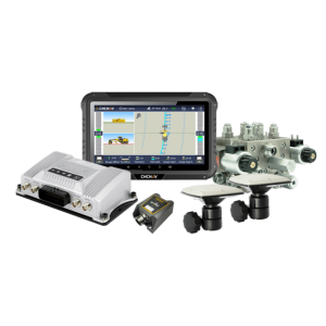
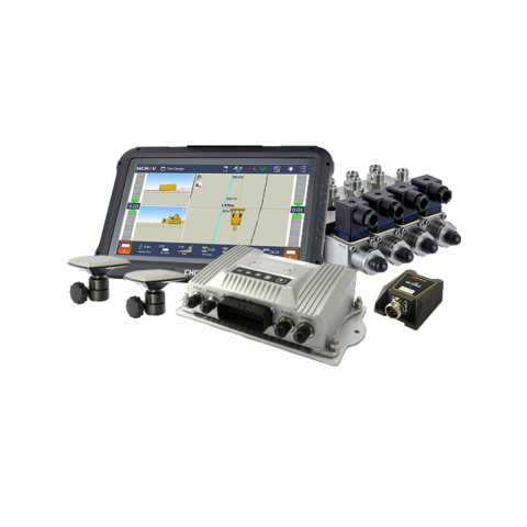
The TD63 PRO automatic 3D control system for dozers enhances the quality and efficiency of earthmoving and fine-grading operations, including site preparation and land leveling. Featuring a high-precision dual GNSS positioning module and an IMU sensor, it ensures superior 3D positioning and heading accuracy for precise control of the dozer blade, regardless of the machine's position. The real-time blade control automates the achievement of finished grade accuracy, eliminating the need for manual staking and minimizing errors and rework, regardless of operator experience. Seamless integration with advanced cloud-based management systems makes it easy to transfer files from the office to the job site, streamlining workflows and increasing overall work productivity.

CHC Navigation | CHCNAV
Shanghai, CN
Description
HIGH ACCURACY AUTOMATIC CONTROL
The TD63 Pro offers dozer operators centimeter-level accuracy through fully automated control, ensuring consistent precision on both sides of the blade tip. Dual GNSS and 100 Hz IMU sensors deliver precision in all machine positions, while intelligent hydraulic control maintains accuracy even at variable speeds. A high-performance GNSS receiver guarantees precise positioning on any job site, making the TD63 Pro an indispensable tool for optimizing returns on earthmoving projects.
EASY TO USE AND EFFICIENT
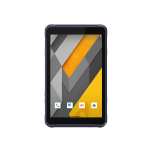
The TD63 Pro incorporates user-friendly MCNAV software for intuitive functionality. The 10.1" Android touchscreen display enables effortless fingertip control of all operations. Seamless switching between 2D and 3D modes offers extra flexibility. The straightforward single-blade sensor installation can be completed in less than 6 hours, and system calibration takes only 30 minutes. Quick and easy antenna mounting and dismounting, along with an optional camera for added security, ensure worry-free and efficient operation.
COMPATIBILITY ACROSS THE BOARD
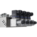
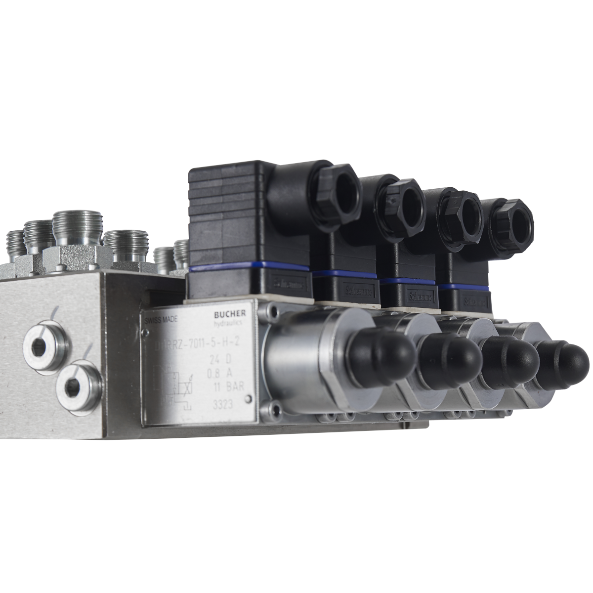
The TD63 Pro system is compatible with dozer models equipped with hydraulic pilot valves. It offers flexibility in radio communication through various protocols such as TT450S, Transparent, and Satel_3AS, allowing connections to fixed or mobile base stations in addition to GNSS RTK networks. The system supports multiple coordinate calibration file formats (.crd, .dc, .cal, .lok, .jxl, .loc) and design file formats (.rodx, .dxf, .landxml). With full GNSS constellation coverage including GPS, GLONASS, Galileo, Beidou, and QZSS, it ensures optimal performance in the field.
SAFE AND RUGGED DESIGN
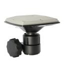
The TD63 Pro is equipped with industrial-grade antennas featuring metal housing, anti-interference protection, and IP68 compliance for optimal performance. The IMU sensor is certified to IP67 and 50G for ruggedness and shock resistance. The system's heavy-duty cables are designed to withstand wear and operate over a wide temperature range. The TD63 Pro an essential choice for dozer operators seeking an efficient and reliable automatic control solution for earthmoving operations.
Do you have questions about this product?
- Questions about price, availability, and/or retailers
- Questions about technical specifications and usage
- Questions about suitability for your project or application
Specifications
-
General
-
Field of Use
Highway, Rail, Airport, Test Site, Water, Municipal
Main design elements
hardware and software
Year of current version
2024
Year of introduction
2024
-
Dimensions
-
Height [cm]
4.2
Length [cm]
18.1
Width [cm]
28.1
Total weight [kg]
1.5
-
Operation Characteristics
-
Operating temperature: max. [°C]
70
Operating temperature: min. [°C]
-20°C
Storage temperature min [°c]
-40°C
Storage temperature max [°c]
85
Type of screen
Android: V6.0.1
Integrated sensors
IMU
Water and dust proof [IP]
IP65
-
Functionalities
-
3D interference and collision detection
Yes
Remote control of vehicles
Y
View position, planned route and speed
Y
Direction of excavation - view
Yes
Cross section view
Yes
Actual height & offset height
Yes
-
More information
-
Distinguishable features
HIGH ACCURACY AUTOMATIC CONTROL, EASY TO USE AND EFFICIENT, COMPATIBILITY ACROSS THE BOARD, SAFE AND RUGGED DESIGN
Main applications
Highway, Rail, Airport, Test Site, Water, Municipal
-
Software
-
Compatible software
McNav
Editing of points
Y
Editing of lines
Y
Documents
Brochure
TD63 PRO_DS_ES.pdf
3.7 MB
Videos


