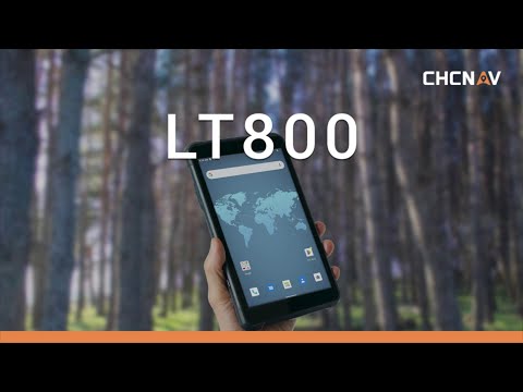


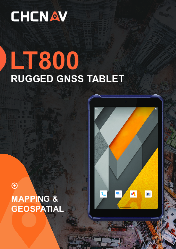
LT800
A Rugged Android Tablet for Professional Data Collection
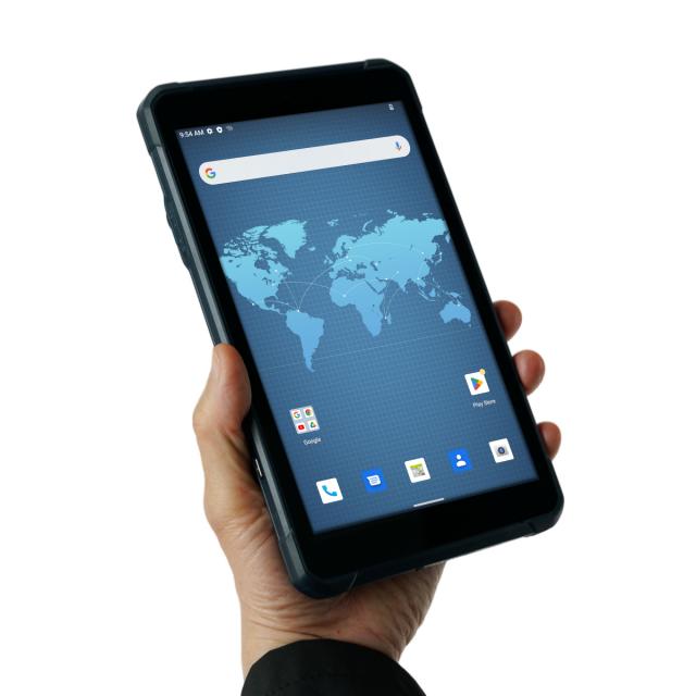
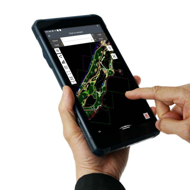
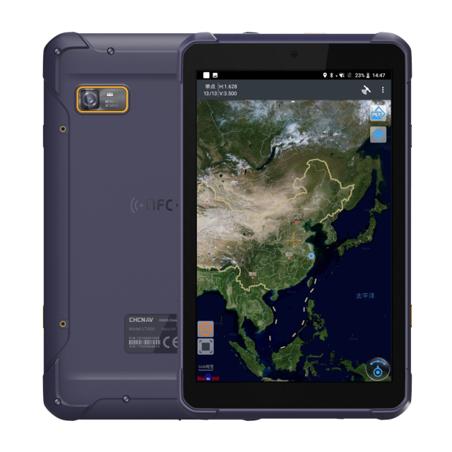
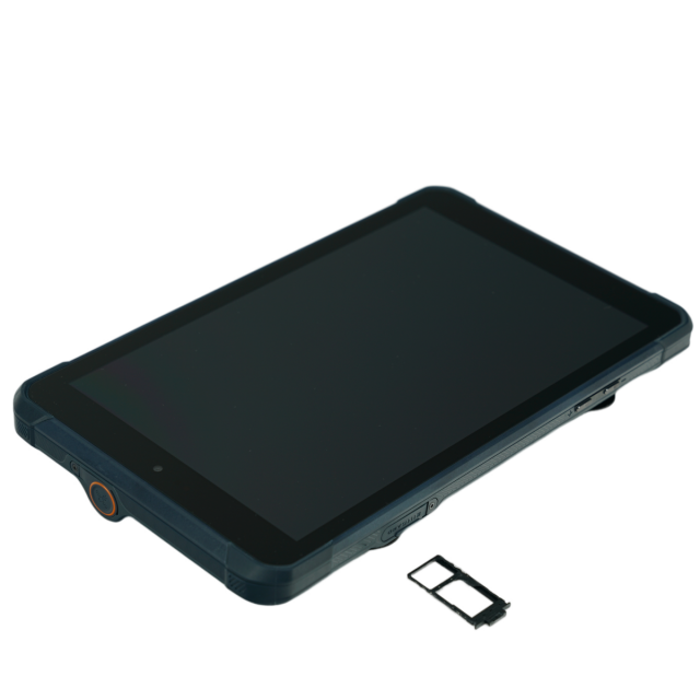
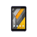
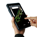
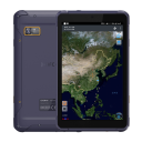
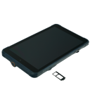
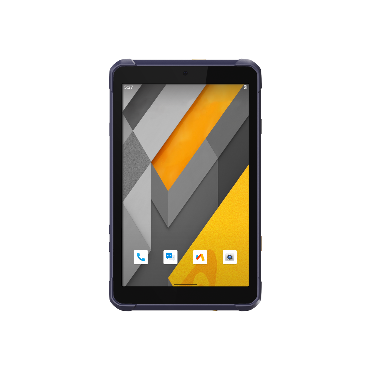
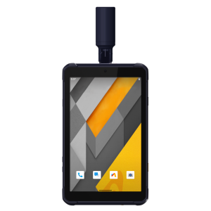
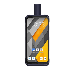
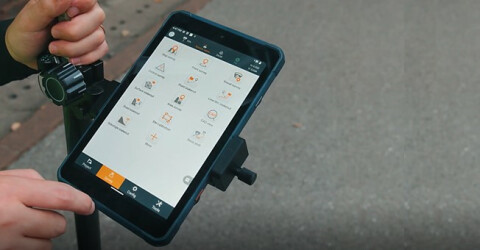
The LT800 is a rugged AndroidTM tablet designed to increase the mobile workforce's efficiency and productivity in applications requiring meter-level GNSS positioning and uninterrupted performance. Portable, rugged and versatile, it enables GIS data collection, environmental surveys, landscaping, and other scenarios. Its 8.1" sunlight-readable display makes it easy to view GIS data tables, complex vector and raster maps, and high-resolution images clearly, even in direct sunlight and brightly lit areas. Its IP67-rated industrial design enables it to withstand daily use in harsh environments and conditions, making it a preferred choice for field crews with demanding requirements.

CHC Navigation | CHCNAV
Shanghai, CN
Description
ROBUST, HIGH-SENSITIVITY GNSS POSITIONING
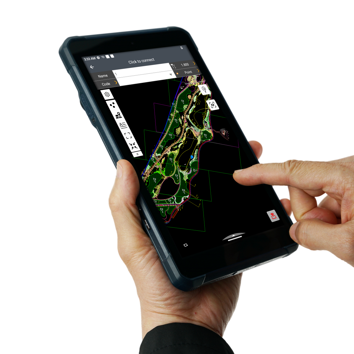
The LT800 Android tablet features a high-performance, high-sensitivity 45-channel GNSS module supporting GPS, Glonass, Galileo, and BeiDou to deliver meter-level positioning accuracy in the most challenging environments, making it valuable for applications in surveying, construction, agriculture, and environmental monitoring industries.
ENHANCED PRODUCTIVITY AND CONNECTIVITY IN ANY ENVIRONMENT
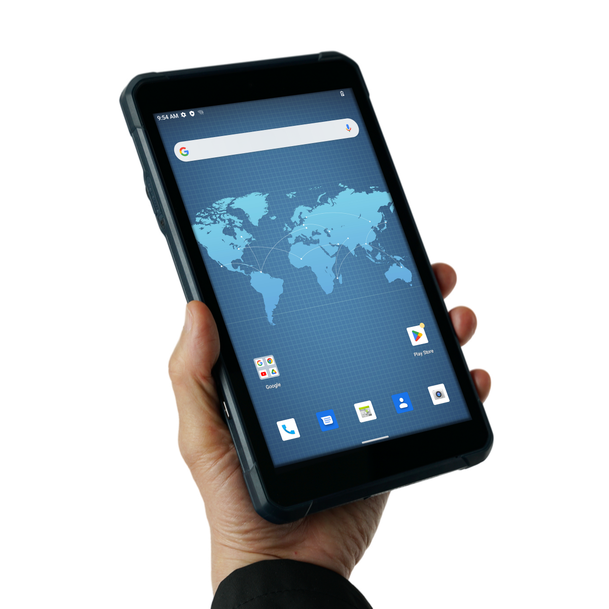
The LT800 Android tablet increases productivity with a built-in 2.0 GHz octa-core processor that displays large maps and data sets without lag or slowdown. Its dual-SIM 4G modem provides fast and reliable connectivity between teams in the field. The sunlight-viewable 8.1" Corning Gorilla Glass 3 IPS touchscreen offers extended durability in all environments. In addition, the LT800 capacitive multi-touch screen allows data capture with a stylus, gloves, or wet hands to accommodate all working conditions.
SEAMLESS ENTERPRISE INTEGRATION AND MAXIMUM SECURITY
The LT800's Google Mobile Service (GMS) and Android Enterprise Recommended (AER) certifications provide assurance of software compatibility and optimal performance. The tablet is designed to work seamlessly with the most popular enterprise data collection applications available in the Google Play Store. The LT800's certification ensures the highest levels of security and usability, making it ideal for easy integration into existing IT ecosystems.
RELIABLE DATA COLLECTION AND EXTENDED BATTERY LIFE
The LT800 Android RTK tablet is built to withstand harsh environments and adverse weather conditions, ensuring that data is safe no matter where it is collected. The LT800 also offers an impressive 10 hours of battery life, allowing mobile professionals to focus on collecting data without interruption. Extended battery life means less downtime and more productive time in the field.
Do you have questions about this product?
- Questions about price, availability, and/or retailers
- Questions about technical specifications and usage
- Questions about suitability for your project or application
Specifications
-
General
-
Depth [m]
0.2155
Height [m]
0.0145
Main design elements
hardware and software
Product Description
LT800
Resolution: horizontal pixels
1920
Resolution: vertical pixels
1200
Touchscreen
Y
Total Weight [kg]
0.55
Width [m]
0.13
Year of introduction
2023
Display Panel
IPS display panel
-
More information
-
Distinguishable features
Robust, high-sensitivity GNSS positioning; Enhanced productivity and connectivity in any environment; Seamless enterprise integration and maximum security; Reliable data collection and extended battery life
Main applications
GIS data collection, environmental surveys, landscaping and other scenarios.
-
Software
-
Display of external data and photos
Y
Editing of points
Y
Editing of polygons
Y
Editing of lines
Y
Map rotation
Y
Measurements: area
Y
Measurements: length
Y
Panning
Y
Zooming
Y
-
Connectivity
-
Bluetooth
Y
User Interfaces
Type C USB
WiFi
Y
Supply Voltage [V]
3.8 V
-
GNSS Receiver
-
Number of Channels
45
-
Computer
-
Hard Disk [MB]
131072
Operating System
Android 12.0 GMS certified
Processor
Advanced octa-core CPU 2.0 GHz
RAM [MB]
6144
-
Operation Characteristics
-
Operating temperature: max. [°C]
60
Operating temperature: min. [°C]
-20°C
Integrated sensors
NFC, Compass
Water and dust proof [IP]
IP67
Humidity resistance
5% - 95% RH (without condensation)
Shock proof
1.2 m fall onto concrete
Operation time per battery [hr]
10
Documents
Brochure
LT800_DS_EN (2).pdf
4.58 MB
Videos


