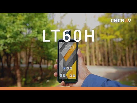


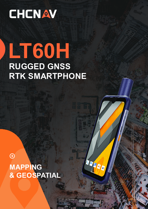
LT60H
Rugged GNSS RTK Smartphone for Accurate Data Collection
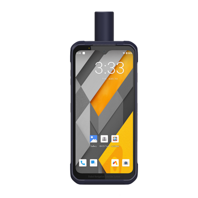
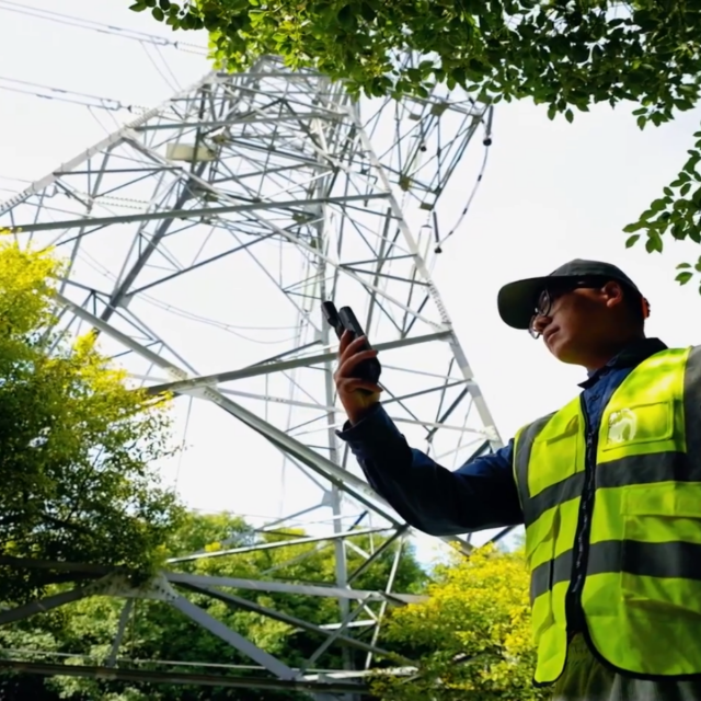
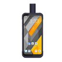
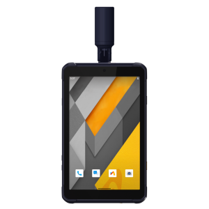
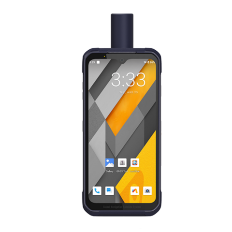
The LT60H is a rugged GNSS RTK smartphone, a reliable and effective tool for various industries and applications that require centimeter or decimeter positioning accuracy. Its portability, durability, and versatility make it an excellent choice for precision GIS data collection, urban construction, utility inspection, agriculture, and more. With its 6.3" sunlight-viewable display, the LT60H is an optimal data controller for field professionals who need to position or locate assets and capture associated photos or video. Unlike consumer smartphones, the LT60H has an industrial IP67 design that can withstand daily use in harsh environments and conditions. Customized low-level system processing allows almost any third-party Android-based mapping application to obtain highly accurate location information directly, significantly reducing software development efforts.

CHC Navigation | CHCNAV
Shanghai, CN
Description
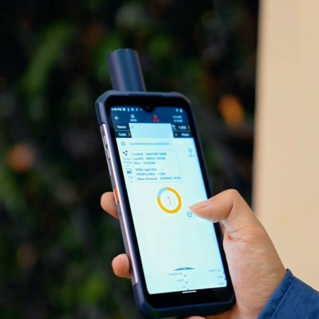
SURVEY-GRADE GNSS POSITIONING
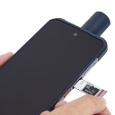
The LT60H features a high-performance 1408 channel positioning module supporting GPS, GLONASS, Galileo, and BeiDou and a high-efficiency quadrifilar helix GNSS antenna. This advanced technology delivers industry-leading centimeter- and decimeter-level accuracy, even in challenging environments.
IPS DISPLAY FOR EXTRA COMFORT OF USE
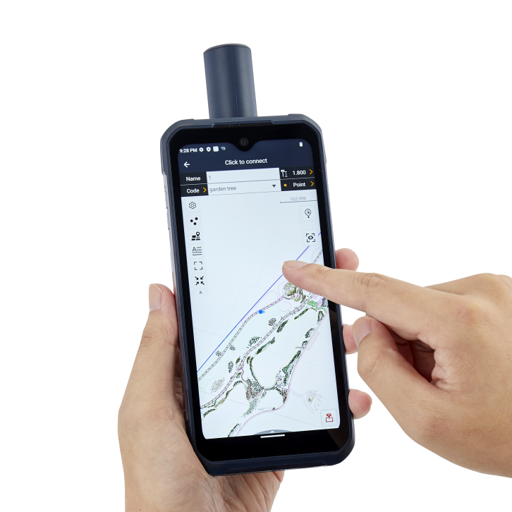
The LT60H has a stunning high-resolution screen with over 400 PPI for exceptional clarity and detail. With a Corning Gorilla Glass 3 IPS display, it also offers high durability in all weather conditions, ensuring your device is protected in even the harshest environments. Its 5-point capacitive touch screen allows data capture with a stylus, gloves, or even wet hands to accommodate different operating conditions.
PERFORMANCE AND COMPATIBILITY WITH GMS & AER CERTIFICATION
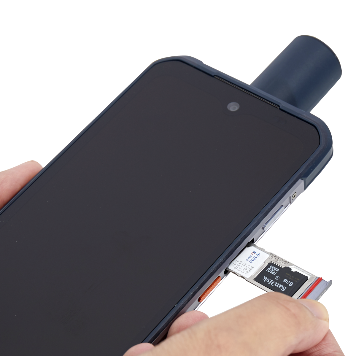
The LT60H is GMS (Google Mobile Service) and AER (Android Enterprise Recommended) certified to ensure full compatibility with the most popular data collection applications in the Google Play Store. In addition, the LT60H integrates 4G and WiFi modems for seamless field-to-office communications and robust connectivity to RTK GNSS network corrections. Powered by a 2 GHz Qualcomm Snapdragon octa-core processor, DDR3 memory, and UFS flash memory, the it's designed to meet the needs of the mobile workforce seamlessly. Whether working with large datasets, processing multiple images, or accessing complex databases, the LT60H is always up to the task.
RUGGED, DESIGNED FOR TOUGH JOBSITE ENVIRONMENTS
Industrial IP67 design with 6,000 mAh Li-ion battery. The LT60H's IP67-rated industrial design and 6000 mAh Li-ion battery make it one of the most rugged and reliable devices on the market, ensuring your data is safe even in harsh environments and adverse weather conditions. With up to 8 hours of battery life, the LT60H provides uninterrupted data collection for field operations and extended work days.
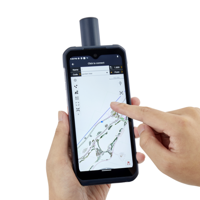
HIGH ACCURACY GEOSPATIAL DATA COLLECTION
The LT60H is an essential tool designed for mapping, surveying, monitoring, and asset management significantly enhancing the capabilities and efficiency of professionals across numerous industries. It provides high-precision positioning and accurate real-time data, enabling surveyors and construction professionals to map project sites, establish control points, and layout structures with exceptional accuracy. The LT60H is invaluable in industries such as agriculture, construction, forestry, mining, environmental monitoring, infrastructure development, land management, emergency response, and others.
Do you have questions about this product?
- Questions about price, availability, and/or retailers
- Questions about technical specifications and usage
- Questions about suitability for your project or application
Documents
Brochure
LT60H_DS_EN.pdf
4.4 MB
Videos


