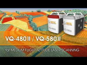
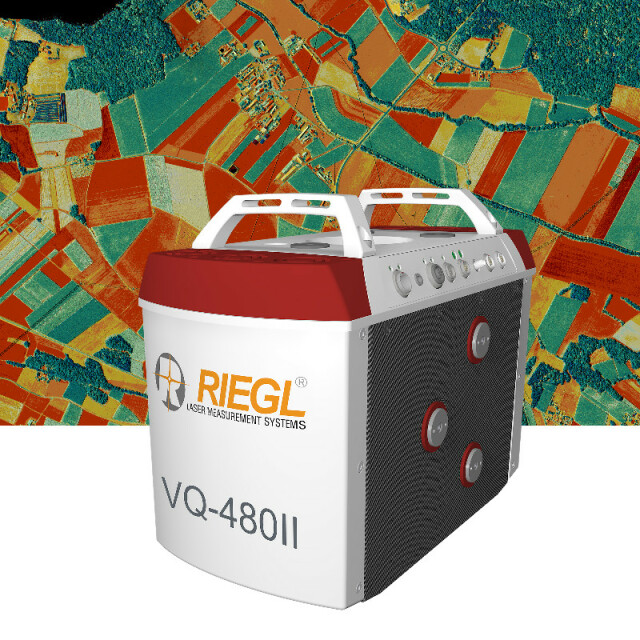
VQ-480II
Waveform Processing Airborne Laser Scanning System
In further development of the RIEGL VQ-480 Airborne Laser Scanner Series – the RIEGL VQ-480 II presents itself in a completly new design that successfully takes up the already proven qualities and leads them to a new standard of performance and user-friendliness.

RIEGL | Innovation in 3D
Horn, AT
Description
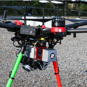
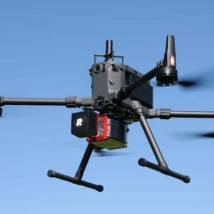
Its sophisticated design allows to further reduce the overall weight resulting in approx. 10 kg. Thus, the scanner is well suited for the use in manned but also in unmanned aircrafts. The VQ-480 II can seamlessly be integrated into stabilized platforms, e.g. standard gyromounts, and also into even small hatches.
Based on RIEGL‘s proven Waveform-LiDAR technology, the scanner provides highly accurate point clouds, excellent vertical target resolution, calibrated reflectance readings, and pulse shape deviation for unsurpassed information content on each single measurement. With a measurement rate of up to 1,250,000 measurements/second and an extremely wide field of view of 75°, the VQ-480 II is the first choice for airborne surveying applications like corridor mapping, city modeling, and agriculture & forestry.
An easy to remove CFast® storage card and an integrated Solid State Disk and/or the option for streaming the scan data via LAN TCP/IP interface are provided for data transfer and storage.
Do you have questions about this product?
- Questions about price, availability, and/or retailers
- Questions about technical specifications and usage
- Questions about suitability for your project or application
Documents
Brochure
datasheet_VQ-480II
Other documents
-
Applicationsheet Forestry & Agriculture.pdf3.41 MB
-
RIEGL VQ-480II Datasheet.pdf4.1 MB
Videos


