TrueView 3D
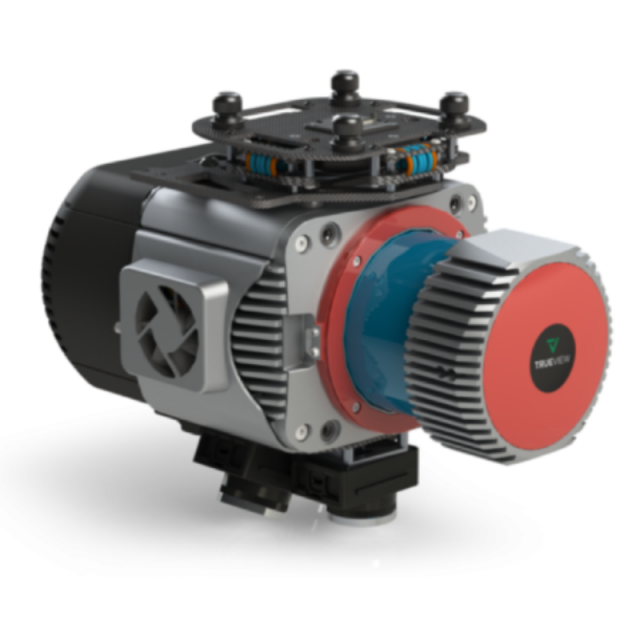
The three new high-end, TrueView 3D imaging systems by GeoCue Systems combine a very lightweight and compact laser scanner with three cameras to deliver unparalleled accuracy and efficiency in geospatial data collection.
GeoCue Group Inc.
Madison, US
Description
The TV625, TV680, and TV680LR systems are NDAA compliant and suitable for a wide range of industries, including surveying, construction, infrastructure management, and environmental monitoring.
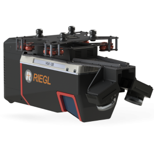
TrueView 680LR is built with the Riegl VUX-1LR with an up to 360-degree field of view, five LiDAR returns, and a typical accuracy of 15mm and precision of 5mm. The 680 is integrated with the Riegl VUX-1UAV providing 10mm survey-grade accuracy and an extremely dense dataset with up to 400pts per m2 at 80m flight height. Both systems capture highly detailed survey data. The TrueView 625 is based on the RIEGL miniVUX-1UAV and combines high accuracy and precision in a budget-friendly package.
All TrueView 600-series payloads are NDAA-compliant and each of the three systems includes LP360 Drone software for seamless data processing and generating deliverables.
Specifications
-
Operation Characteristics
-
Camera included
Related products


