


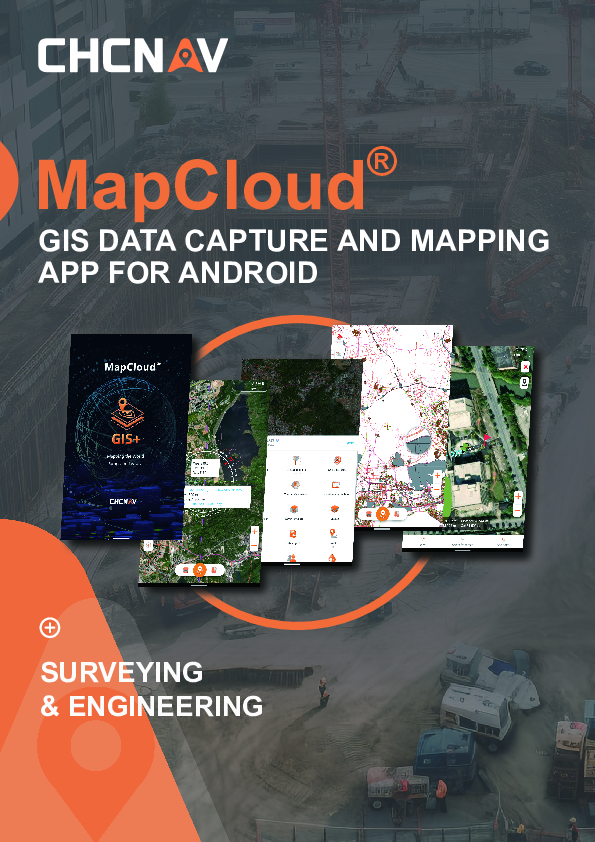
MapCloud
GIS Data Capture and Mapping App for Android
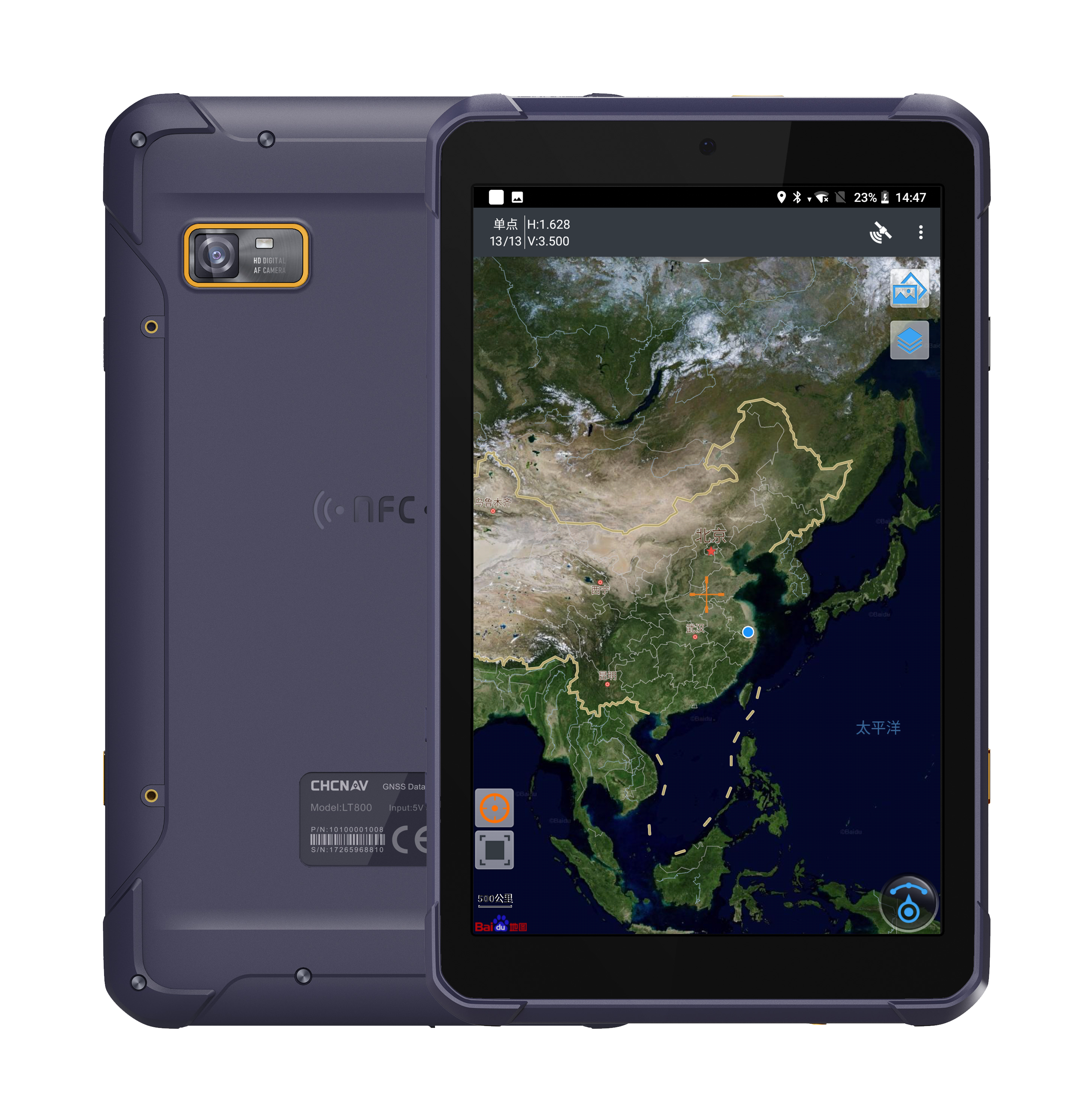
MapCloud® by CHCNAV is a field data collection software with a powerful mapping engine. It offers seamless integration with popular GIS file formats for both import and export, maintaining compatibility with existing software ecosystems and promoting immediate productivity gains. Designed specifically for Android devices and CHCNAV data controllers, it is the preferred solution for professionals in a variety of industries, including pipeline management, forestry, utilities, municipal asset management, and natural resource inventory. MapCloud® provides exceptional usability in the field and sets the standard for operational efficiency.

CHC Navigation | CHCNAV
Shanghai, CN
Description
POWERFUL PERFORMANCE
Smoothly run large files 5-10x quicker
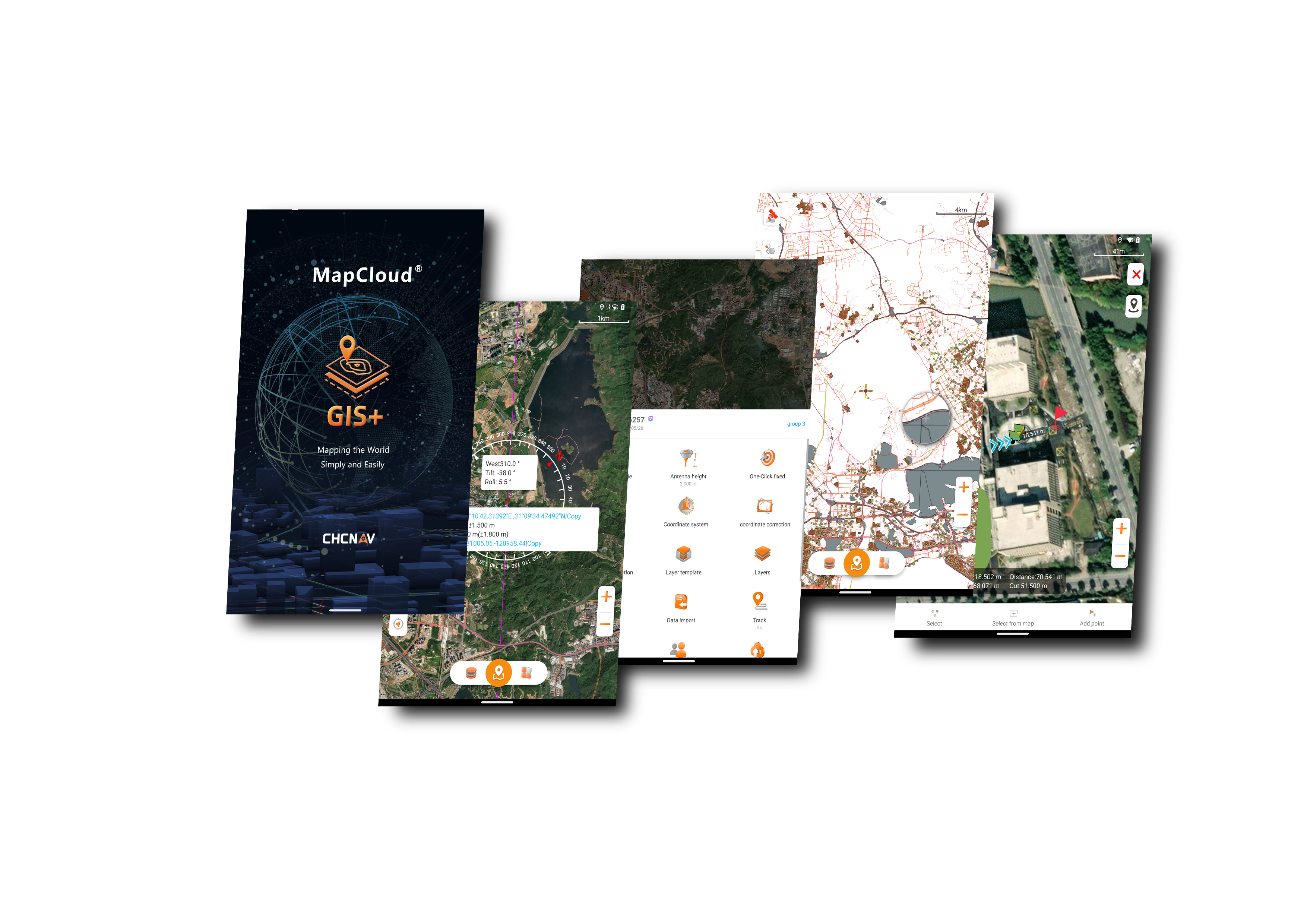
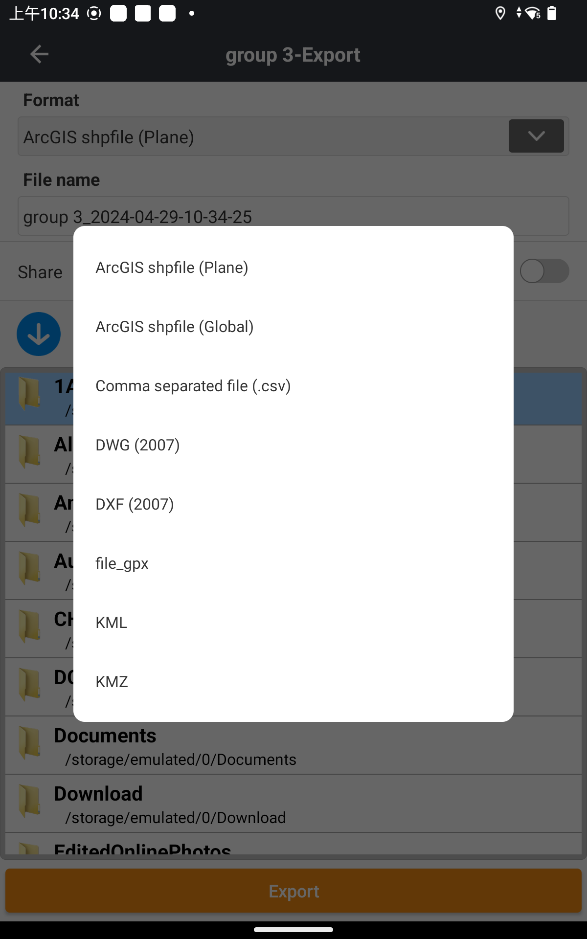
MapCloud's powerful mapping engine efficiently manages the loading, modification, and exporting of SHP files, supporting a wide range of popular GIS formats, including DWG, DXF, SHP, KML, GPX, TIF, IMG, MBTiles, JPG, WMS, and WFS. Users can easily load GB-grade SHP files and visualize detailed attributes, while TB-grade TIF files can be quickly processed with fast browsing and seamless integration with online base maps from sources like Google, Bing, WMS, and WFS. Unique thematic values and labels simplify complex data analysis and visualization.
RICH FUNCTIONALITY
Tailored to meet diverse industry demands
MapCloud efficiently manages multiple data types, including points, lines, and polygons, along with extensive attribute libraries. It offers multiple measurement methods, numerous import and export formats, and a comprehensive library of global coordinate systems. Essential functions such as coordinate stakeout, track recording, and length and area measurements are enhanced with voice or audible prompts for ease of use in the field. Additionally, the software supports secondary development to provide capabilities to obtain high-accuracy GNSS data.
EASE OF USE
Intuitive interface with powerful features
The intuitive design of MapCloud features large map windows and vivid graphics that streamline surveying and mapping operations for users at all levels of expertise. Customizable industry-specific layer templates and simultaneous multi-feature capture capabilities improve efficiency by more than 50%. The software supports thematic maps to enhance data displays and includes built-in video tutorials and localization tools to help operators quickly adapt to different field conditions.
EXTENDED CLOUD CONNECTIVITY
Enhance team collaboration from field to office
MapCloud's integrated cloud-based framework facilitates efficient teamwork by supporting project backup, collaboration, and extensive data storage. The Sharing Code feature simplifies the transfer of project data between office computers and field controllers, as well as between different field devices. As a result, teams can stay connected and informed, greatly improving the efficiency of multi-site project management and execution.
OVERVIEW
MapCloud® by CHCNAV is a field data collection software with a powerful mapping engine. It offers seamless integration with popular GIS file formats, effortlessly facilitating the import and export of data, maintaining compatibility with existing software ecosystems, and promoting immediate productivity gains.
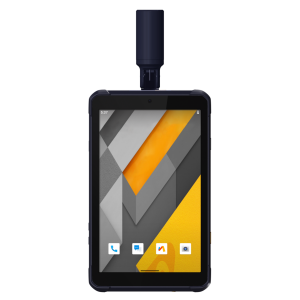
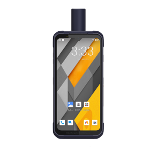
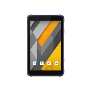
Tailored specifically for Android devices, as well as CHCNAV data controllers and tablets, MapCloud® stands out as the top choice for professionals across various industries, including pipeline management, forestry, utilities, municipal asset management, natural resource inventory, and more. Its intuitive usability and advanced functionalities enhance workflow efficiency and set a new standard for operational excellence in the industry. With MapCloud®, professionals can embrace a seamless and efficient GIS data collection and management approach, driving unparalleled success in their operations.
Do you have questions about this product?
- Questions about price, availability, and/or retailers
- Questions about technical specifications and usage
- Questions about suitability for your project or application
Specifications
-
Photogrammetric data processing
-
Handheld terrestrial photography
Y
-
CAD functions
-
CAD functions for Industrial plant applications
Y
CAD functions for Site development applications
Y
CAD functions for Road applications
Y
CAD functions for open drainage modelling
Y
CAD functions for Pipeline applications
Y
CAD functions for Rail applications
Y
-
General
-
Laptop / Office computer (post processing)
Y
Mobile (real time connected to instrument)
Y
-
Integrated environment for
-
GNSS data
Y
Volume computation by substracting surfaces
Y
Documents
Brochure
Mapcloud 2_0510.pdf
7.33 MB
Videos


