Description
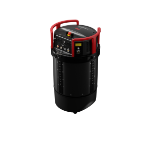
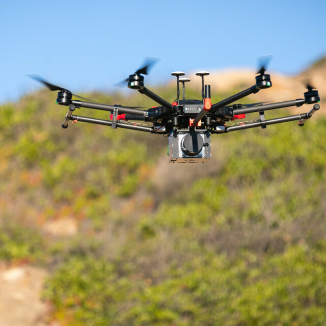
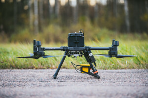
NextCore is an affordable, turn-key drone LiDAR platform designed specifically for the M600 Airframe. The NextCore platform utilises cutting-edge components and a highly optimised post-processing workflow to produce next level accuracies at an affordable price.
NextCore is changing the game of drone LiDAR with its NextCore Cloud post-processing platform allowing you to generate point clouds easily with the control you need.
NextCore has a refined, straightforward workflow meaning you can be sure you're getting the data you want, every time.
Key Specifications:
Flight Time on an M600 - 23 Minutes (using TB48s)
Absolute Accuracy - <50mm (RMSE @ 50m)
Scannable Area in One Flight - 50 Ha (1/2 square Km)
Get in contact for more information.
Specifications
-
General
-
Year of introduction
2018
Year of last update
2018
Total Weight [kg]
2.8
Type of GNSS/INS positioning system
RTK/PPK
Camera
Sony A6000
Data storage facilities
Up to 10 hours of Scanning
Mission planning software
Agnostic
Postprocessing software
NextCore Cloud
-
Application
-
Main applications
Environmental, Construction, Power Lines, Mining, Surveying
-
Measurement Characteristics
-
Scan frequency [Hz]
10
Min. pulse frequency [Hz]
400000
Max. pulse frequency [Hz]
400000
Max. field of view [deg]
360
Max. number of recorded echoes per pulse
3
-
Operation Characteristics
-
Platform
RPAS (UAV/UAS)
Min. flying height [m]
3
Max. flying height [m]
100
Max. acquisition time [hr]
0.5
-
Laser Pulse Characteristics
-
Wavelength [nm]
905
Type/class laser
Class 1
-
More information
-
Distinguishable features
Cloud Post-Processing, Turn-key operation
-
Uncertainty and resolution
-
Pitch and roll pointing precision [deg]
0.03
Heading pointing precision [deg]
0.03


