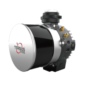
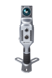
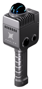
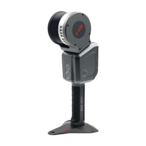
L1 Handheld SLAM Scanner
A Real-time 3D Reconstructor
L1 is a new generation of handheld mobile scanning products launched by Tersus GNSS, which integrates LiDAR, vision module, high-precision inertial measurement unit, and high-performance computing control module, easily cope with the complex scenes, and directly get the colorized point cloud to realize real-time 3D reconstruction.
Tersus GNSS
Shanghai, CN
Description
High efficiency, long working hours break-point scanning
90 minutes of continuous operation time, and it can continue to scan from the break-point. In large application scenarios, no need for segmented scans, which significantly improves the efficiency.
High-precision, industry-level of real-time SLAM algorithm
High-precision IMU and self-developed algorithm, the relative accuracy can reach ±1.5cm and the absolute accuracy can reach less than 5cm in horizontal and vertical.
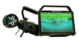
High visualization, real-time point cloud color rendering
High-precision vision and laser fusion technology generate true-color point clouds in real time, with strong visibility to reproduce the real world.
High reliability, easy to adapt to complex scenarios
In some complex scenarios, the data maintains accurate structure and stable quality, and it can be perfectly
adapted to various usage scenarios with different accessories.
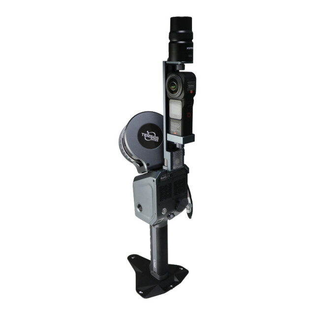
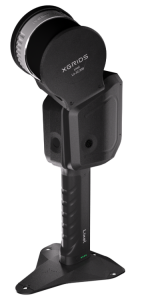
Integrated design, compatible with multiple platforms
It has a rich selection of accessories, including RTK, UAV, and backpack kits, suitable for different scenarios.
Related products


