
ALPHA GEO SLAM R100
SLAM R100
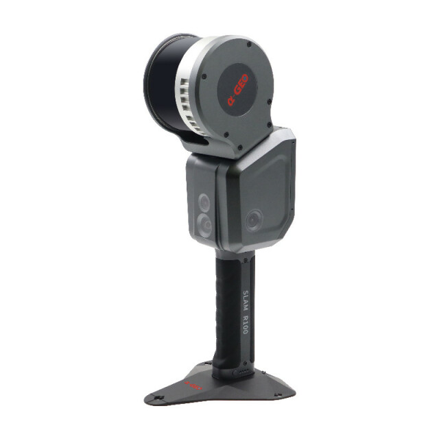
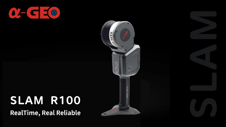
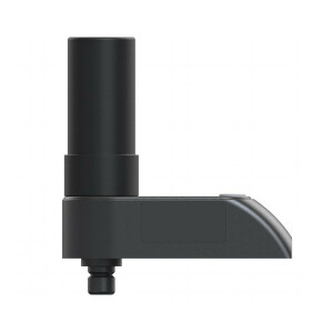
SLAM R100 is a handheld real-time 3D reconstruction device developed by a-GEO, which deeply integrates LiDAR module-vision, high-precision inertial navigation module and high-performance computer modules. With an integrated design, one-click operation and built-in Alpha-GEO Multi-SLAM reconstruction algorithm, the SLAM R100 can be used to directly obtain true colour point clouds, generate models, and realize an ultra-fast remote collaboration.

Alpha GEO (α-GEO)
Guangdong, CN
Description
The SLAM R100 stands as a groundbreaking handheld real-time 3D reconstruction device engineered by a-GEO. Its cutting-edge design seamlessly merges a LiDAR module, advanced vision technology, a high-precision inertial navigation module, and high-performance computer modules. This integration allows for unparalleled functionality. Its user-friendly one-click operation coupled with the embedded Alpha-GEO Multi-SLAM reconstruction algorithm empowers users to effortlessly acquire true color point clouds, effortlessly generate detailed models, and facilitate ultra-fast remote collaborations with unprecedented efficiency.
Do you have questions about this product?
- Questions about price, availability, and/or retailers
- Questions about technical specifications and usage
- Questions about suitability for your project or application
Specifications
-
General
-
Year of introduction
2023
Total Weight [kg]
1.9kg
-
Scanning Characteristics
-
Max. Range [mm]
120000
3D measurement accuracy [mm]
15
Data aquisition speed (points p/second)
320000
Laser Class
Class1
-
Operation Characteristics
-
Operating temperature: min. [°C]
-20
Operating temperature: max. [°C]
50
-
Power
-
Battery type
Removable Li-ion battery
Scan time per battery [h]
1.5
Documents
Brochure
alphageo-slam-r100-final.pdf
3.24 MB
