

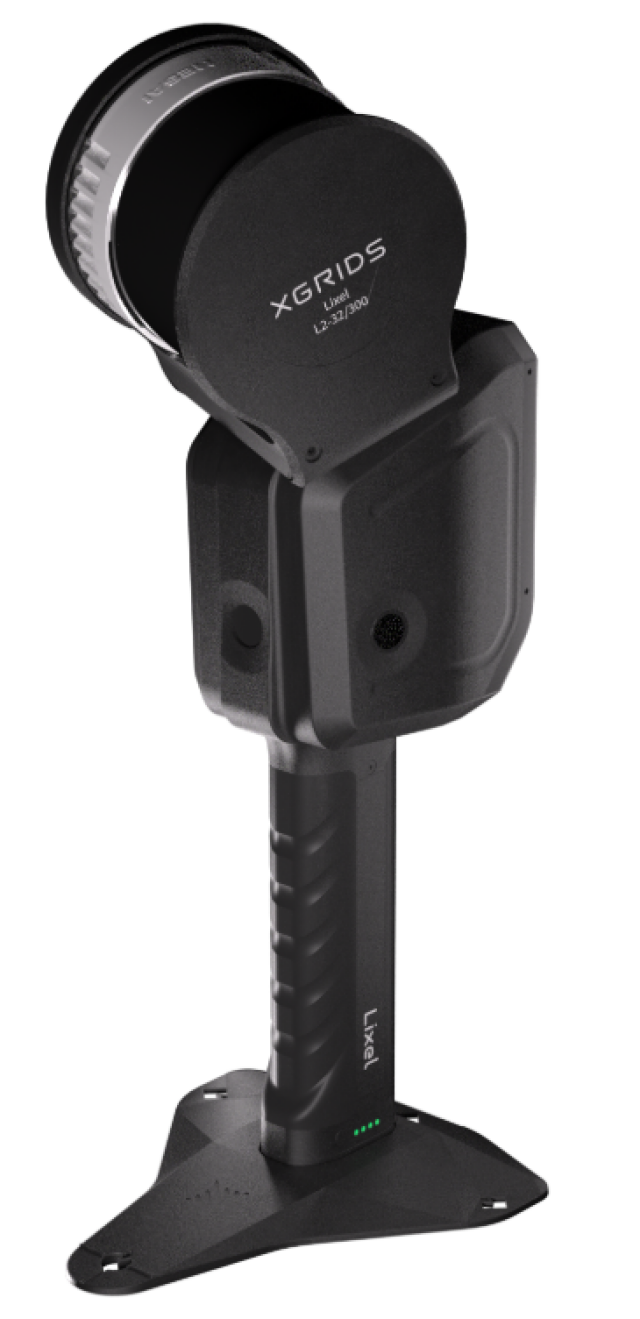


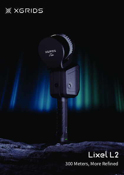
Lixel L2 Handheld LiDAR Scanner
Professional 3D scanner, high-precision reconstruction
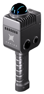
Lixel L Series are XGRIDS’ handheld real-time 3D scanners for reality reconstructions, integrating LiDAR, panorama cameras, high-precision IMU and high-performance computing cores. Powered by our proprietary Multi-SLAM algorithm, it delivers colored point cloud models in real time. Its capability of remote collaboration enables seamless online-offline workflow.
Description

Real-time preview, see what you scan
Real-time output and preview consistency enables you see the reconstruction results and directly generate .las models.
True colore point cloud for reality capture
With accurate details, its real-time output replicates environments vividly.
Wide compatibility across scenarios
Proprietary multi-SLAM algorithm make it effective in tunnels, multicompartment and other complicated scenarios.
Multi-sensor fusion and versatile accessories
Fully integrated visual, LiDar, IMU and high-performance computing modues, it also adaptes to abundant accessories.
120/300 meters range, providing a broader scanning perspective
16/32 channel, 320,000-640,000 points/second frequency, resulting in denser point clouds
3 color lenses for more realistic color reproduction
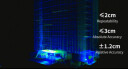
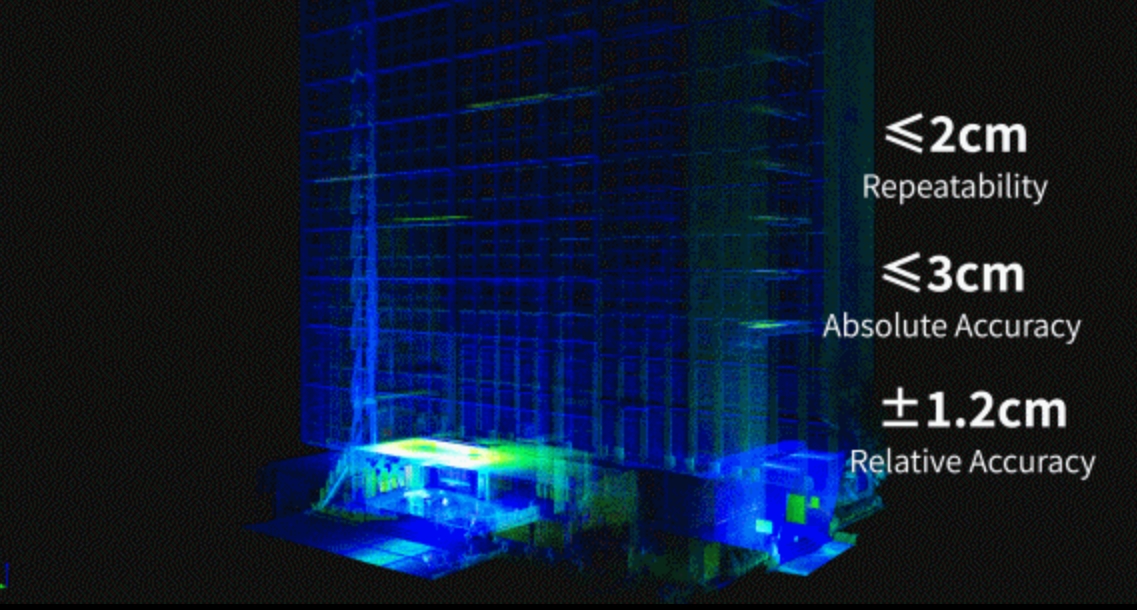
Relative Accuracy: ±1.2cm
Absolute Accuracy: ≤3cm
Repeat Accuracy: ≤2cm
Horizontal Accuracy: ≤0.015°
Generating clear color point clouds without external panoramic devices in real time


Outstanding Point Clouds, Visible to Naked Eyes
Thin: Point cloud thickness within 1cm
Clean: Significant reduction in noise points
Uniform: Even and delicate point clouds, for more accurate measurement
Triple Perception, Fearless in Degraded Environments
MultiSLAM algorithm upgraded
Newly added RTK participation in real-time calculation, triple positioning perception (laser/vision/satellite) which ensures excellent performance in highy-repetitive environment such as tunnels and squares.
Do you have questions about this product?
- Questions about price, availability, and/or retailers
- Questions about technical specifications and usage
- Questions about suitability for your project or application
Specifications
-
General
-
Total Weight [kg]
1.6
Year of introduction
2023
-
Application
-
Main applications
Mapping and survey, AEC, scan to bim, smart cities/factories, metaverse, emergency & security.
Main users
Surveyers and 3d designers
-
Scanning Characteristics
-
3D measurement accuracy [mm]
Relative Accuracy: ±1.2cm Absolute Accuracy: ≤3cm Repeat Accuracy: ≤2cm Horizontal Accuracy: ≤0.015°
Color registration
N
Data aquisition speed (points p/second)
320,000-640,000
Laser Class
Class1
Max. horizontal field of view [deg]
270
Max. vertical field of view [deg]
360
Scanning Speed
1000 ㎡ scanned in 2 min
-
Operation Characteristics
-
Operating temperature: max. [°C]
50
Operating temperature: min. [°C]
-20
-
Power
-
Battery type
Fast-lock Battery
Scan time per battery [h]
1.5
-
More information
-
Distinguishable features
5G remote transmission, color point in real-time, mesh model generation
-
Functionality
-
Mesh as output
Y
Real time visualization during scanning
Y
Software name
LixelStudio
-
Connectivity and Sensors
-
Bluetooth
Y
INS
N
USB Port
Y
WiFi
Y
Documents
Brochure
Lixel L2-A5.pdf
14.08 MB

