
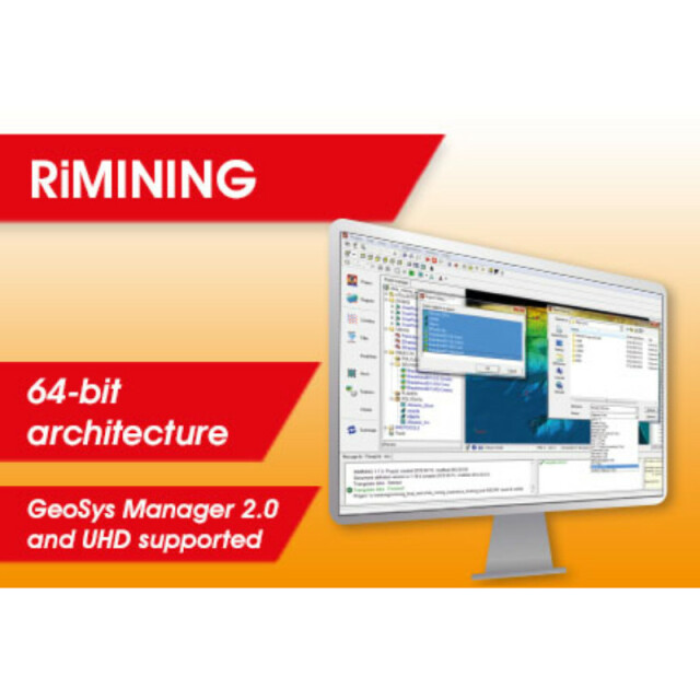
RiMINING
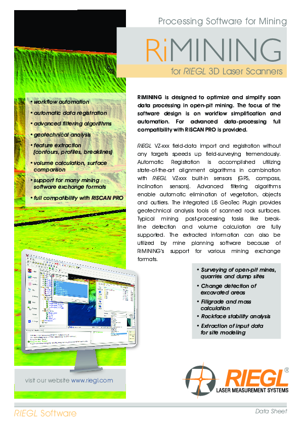
RiMINING is designed to optimize and simplify scan data processing in open-pit mining. The focus of the software design is on workflow simplification and automation. For advanced data-processing full compatibility with RiSCAN PRO is given.

RIEGL | Innovation in 3D
Horn, AT
Description
RiMINING is designed to optimize and simplify scan data processing in open-pit mining. The focus of the software design is on workflow simplification and automation. For advanced data-processing full compatibility with RiSCAN PRO is given.
Do you have questions about this product?
- Questions about price, availability, and/or retailers
- Questions about technical specifications and usage
- Questions about suitability for your project or application
Specifications
-
Hardware/software requirements
-
RAM [GB]
1.024
HD [GB]
100
Stand-alone
Yes
Processor
[]
-
Other
-
Support
Yes
Training
Y
Typical applications
open pit mining
Distinguishing features
automated workflow for registration, filtering and surface creation, volume calculations, toe and crest extraction
-
Files and Registering
-
Input formats
ASCII, LAS, jpg, tif, bmp, RXP, RDD, 3dd, vtp
Output formats
ASCII, dxf, ptc, LAS, WRL, pts, ptx, dm, pod
Automatic Target Detection
Y
Stitching multiple scans
Y
-
Pre-processing and Automatic Filtering
-
Image matching facilities
N
Removal of vegetation
Y
Bare ground DEM generation
Y
-
Manual Measurements
-
3D Coordinates extraction
Y
Length and Height
Y
Distance
Y
Area
Y
Volume
Y
-
Interoperability
-
Assigning colour from imagery to points
Y
-
General
-
Year of last update
2016
Year of initial introduction
2012
Source of Point Clouds
Outdoor TLS
Supported Systems
RIEGL Laser Scanners
-
Analysis
-
Line of sight
N
Aspect and slope
N
Simulation facilities
No
-
Automatically Generated Products
-
Regular Grid DEMs
N
Cross sections
Y
TIN
Y
Break lines
Y
Building footprints
N
Building roofs
N
3D City modelling
No
-
Solid Modelling
-
Lines
Y
Planes
Y
Spheres
Y
Cylinders
Y
NURBS
N
Earth surface features
No
-
Visualisation and Editing
-
Zoom, pan and rotate
Y
Fly-throughs
Y
Adding Points
Y
Removing Points
Y
Point Reduction
Y
Documents
Brochure
RiMINING Datasheet.pdf
7.99 MB
Videos


