 Promoted
INS - Inertial Navigation Systems
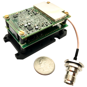
Inertial Navigation Systems are Inertial Measurement Units (IMUs) with additional navigation sensors to create a solution which enables accurate positioning. GNSS aided Inertial Navigation Systems use satellite signals as an extra source of data for land and air vehicles. In Oceanographic applications the systems can be aided with EM logs, DVLs - Doppler Velocity Logs and depth sensors. Filter, select and compare Inertial Navigation Systems (INS) on Geo-matching.com, the world's largest online product database for surveying, navigation and machine guidance!
When buying and selecting an inertial navigation system (INS) for surveying and mapping applications, the key factor is if the INS is fit-for-purpose. Considerations include the accuracy and precision of the INS solution, the size and weight of the system, the amount of power needed to operate the system, the cost of the system, and the compatibility of the system with other surveying and mapping equipment. Additionally, it is important to consider the level of support offered by the manufacturer, the quality of the user interface, and the availability of training and technical documentation.
The price for an inertial navigation system (INS) can range from $3,000 to $50,000, depending on the features and capabilities of the system.
Filters
Manufacturer type
Manufacturers
Other specifications
Graphical user interface
Environmental
Non-operating shock tolerance [g]
Operating shock tolerance [g]
Max. operating temperature [°C]
Max. rotation speed [deg/s]
Software
Filtering
Adaptable input signals
Integrity monitoring of position input
Integrity monitoring of log input
Max. number of position input signals
Max. number of log input signals
Maximum latency of log input [ms]
Maximum latency of position input [ms]
Uncertainty of time stamp for output [ms]
Doppler log aided uncertainty
Heading [deg]
Pitch [deg]
Roll [deg]
Heave [m]
Surge/sway [m]
Decrease in position accuracy [m/hr]
GNSS aided uncertainty
Heading [deg]
Pitch [deg]
Roll [deg]
Heave: constant part [m]
Heave: variable part [%]
Surge/sway [m]
Increase in position uncertainty w.r.t. stand-alone GPS [m]
General
Type of application
Year of initial development
Height [mm]
Width [mm]
Length [mm]
Weight [kg]
Min. Voltage (AC)
Max. Voltage (AC)
Min. Voltage (DC)
Max. Voltage (DC)
Power consumption [W]
Splashproof casting
Water resistant casting
Water resistance [m]
Mean time between failures [hr]
Removable from base plate
Moving parts
EM log aided uncertainty
Heading [deg]
Pitch [deg]
Roll [deg]
Heave [m]
Surge/sway [m]
Decrease in position accuracy [m/hr]
GNSS Positioning Sensor
Number of integrated GNSS receivers and antenna ports
No. channels p receiver
Update rate [ Hz ]
Cold start [ seconds ]
Hot start [ seconds ]
Unaided uncertainty
Heading [deg]
Pitch [deg]
Roll [deg]
Heave [m]
Decrease in position accuracy [m/hr]
Surge/sway [m]
Data formats
RTCM
Inertial Measurement Unit
Accelerometer bias [µ-g]
gyro bias [deg/hr]
GNSS positional accuracy
Horizontal Position Accuracy [ RMS in cm ]
Horizontal Position Accuracy (SBAS) [ RMS in cm ]
Horizontal Position Accuracy (RTK) [ RMS in cm ]
Showing 1-15 of 120 results
Promoted
![YRBKMWXn[1].png](https://cdn.geo-matching.com/En53gY1o.png?w=300&h=300&crop=1&s=024b01a5456af84a24979824702460d7)
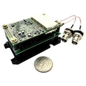
INS-FI

3DM-GV7-INS
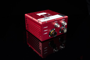
RT3000 v4 GNSS/INS
Applanix APX-18 Land
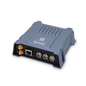
Bynav Survey-Grade X1-5
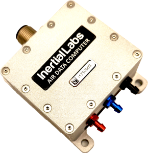
Air Data Computer (ADC)
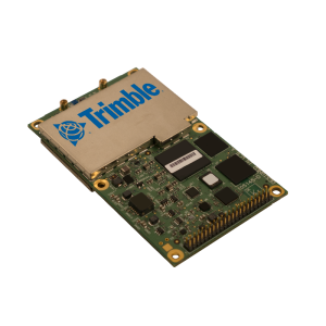
xRED3000 GNSS/INS - OEM Board
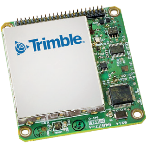
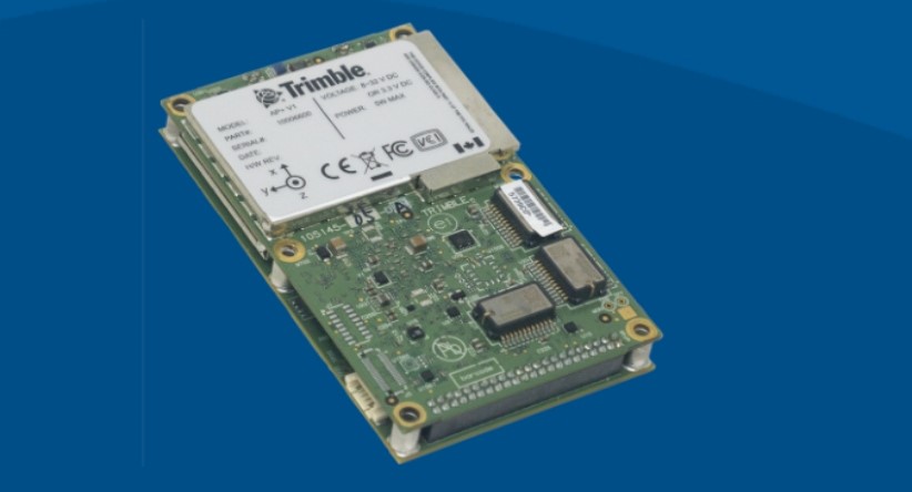
Trimble PX-1 RTX
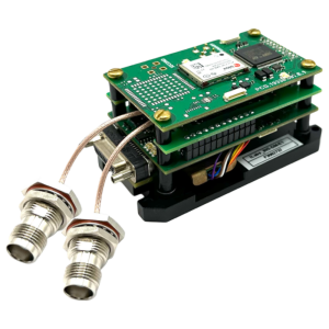
INS-DU-OEM
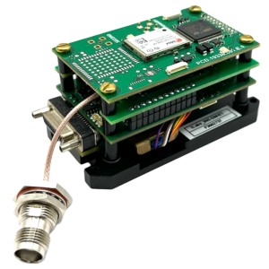
INS-DL-OEM
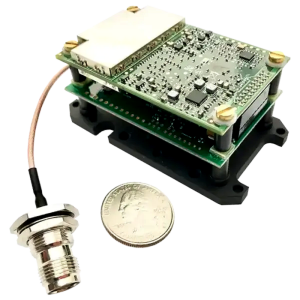
INS-D-OEM
INS-BU-OEM
INS-P-OEM
INS-B-OEM
Need some help? Ask a Geo-matching expert!
Our team and network of 1000+ manufacturers and developers is here to assist you.