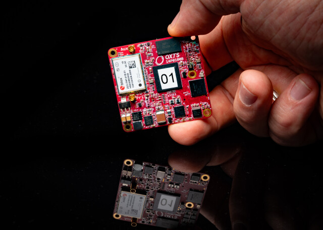

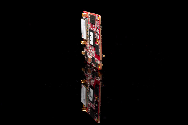


xRED3000 GNSS/INS - OEM Board
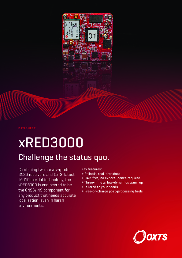
Challenge the status quo
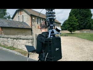
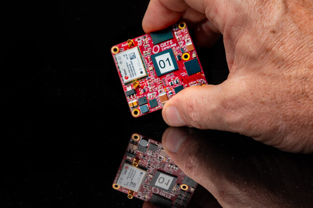
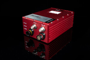
Combining two survey-grade GNSS receivers and OxTS’ latest IMU10 inertial technology, the xRED3000 is engineered to be the GNSS/INS component for any product that needs accurate localisation, even in harsh environments.

Oxford Technical Solutions - OxTS
Bicester, GB
Description
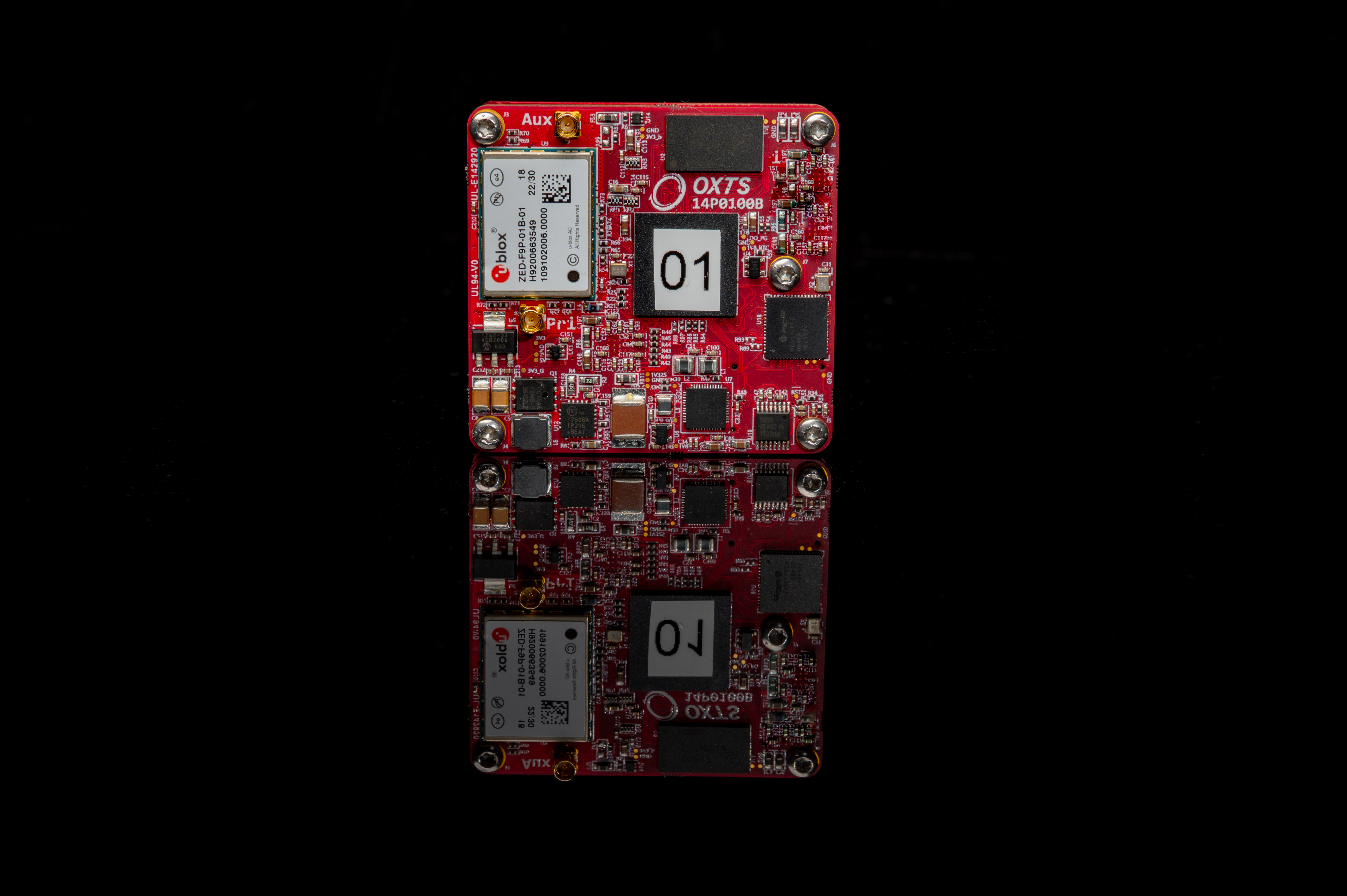
Measuring just 53.6 x 50.6 x 9.5 mm and weighing only 20 grams, the xRED3000 is suitable for land- and air-based applications.
The xRED3000 combines two survey-grade GNSS receivers with OxTS’ latest IMU10 inertial technology to deliver uninterrupted position, orientation and dynamics in all environments. The device outputs real-time data at 100 Hz (250 Hz optional) via ethernet and serial.
OxTS’ flexible feature code optons allow you to optimise your unit cost to include only the functionality you need. You can also use as a second-source option with no minimum order quantity and volume discounts available and additional functionality and firmware upgrades can be added to your xRED3000s in the field with remote upgrades.
Key features:
+ Reliable, real-time data
+ ITAR-free; no export licence required
+ Three-minute, low-dynamics warm up
+ Tailored to your needs
+ Free-of-charge post-processing tools
Do you have questions about this product?
- Questions about price, availability, and/or retailers
- Questions about technical specifications and usage
- Questions about suitability for your project or application
Specifications
-
Other specifications
-
Export restrictions
None
Graphical user interface
Y
Typical application
Various
-
Environmental
-
Max. operating temperature [°C]
70
Min. operating temperature [°C]
-40
Operating shock tolerance [g]
100
-
GNSS aided uncertainty
-
Heading [deg]
0.05
Pitch [deg]
0.02
Roll [deg]
0.02
-
General
-
Height [mm]
9
Length [mm]
50
Moving parts
N
Removable from base plate
N
Splashproof casting
N
Type of accelerometer
MEMS
Type of application
Air, Land, Marine
Type of gyro
MEMS
Water resistant casting
N
Weight [kg]
0.02
Width [mm]
53
Year of initial development
2023
Max. Voltage (DC)
60
Min. Voltage (DC)
5
Power consumption [W]
4
-
Data formats
-
Other
NCOM, MCOM
RTCM
Y
-
Inertial Measurement Unit
-
Accelerometer bias [µ-g]
5
gyro bias [deg/hr]
0.8
-
GNSS positional accuracy
-
Horizontal Position Accuracy [ RMS in cm ]
1
Horizontal Position Accuracy (RTK) [ RMS in cm ]
1
Documents
Brochure
xRED3000 Datasheet.pdf
1.01 MB
Other documents
-
Land-based LiDAR Surveying - Solution Brief.pdf5.67 MB
-
Autonomous Mobile Robots (AMR) - Solution Brief.pdf2.6 MB
Videos

