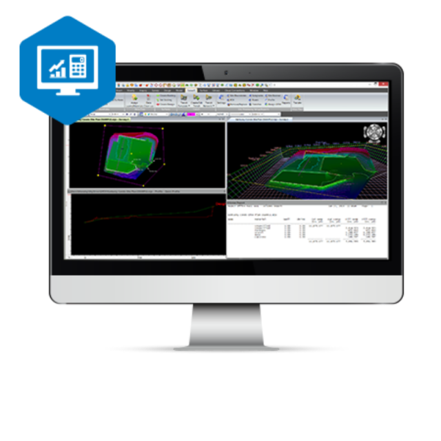
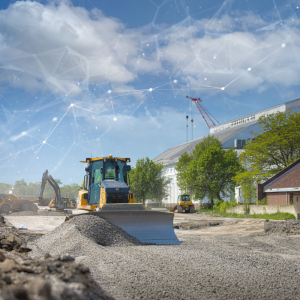
MAGNET Construction
3D modeling and streamlined estimating
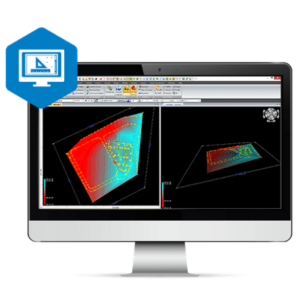
Thanks to MAGNET Construction, getting the estimate and constructible model right does not have to be a challenge. The software’s 3D constructible modelling capabilities help a contractor catch mistakes before they happen, minimize over-digging, and keeps machine control operators connected and always on point. Modelling can also be used for trenching, roading, corridors, and asphalt repaving design.

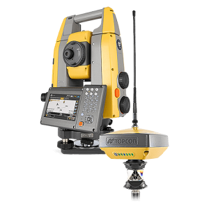
Topcon
Capelle aan den IJssel, NL
Description
- PDF to digital model conversion
- Customizable materials library
- Subsurface strata from bore-hole data
- Accurate subgrade-quantity calculations
- Cut and fill maps
- Cleanup-of-surface files
- Site balancing
- Pipe-library and trench templates
- Vast library of compatible file types
- Paving surface design
- Sitelink3D and MAGNET Enterprise connectivity
Do you have questions about this product?
- Questions about price, availability, and/or retailers
- Questions about technical specifications and usage
- Questions about suitability for your project or application
Documents
Brochure
topcon-magnet-digitalbooklet-corporatedocument-11x8-5-in-en-us-lores-1-0.pdf
5.53 MB

