MAGNET Tools
Process. Adjust. Visualize. Surveyors’ Go-to Software for Data Processing
MAGNET Tools streamlines the data-collection workflow for surveyors, contractors, engineers and mapping professionals.

Topcon
Capelle aan den IJssel, NL
Description
Data transfer, processing and adjustments
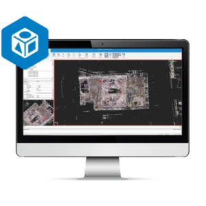
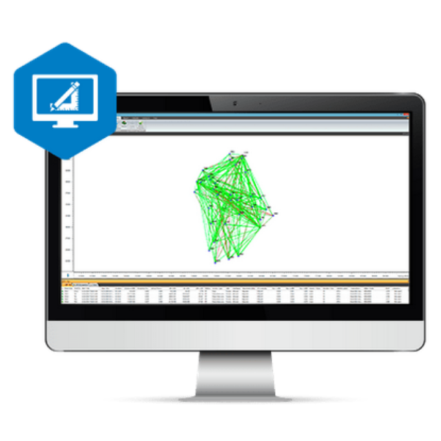
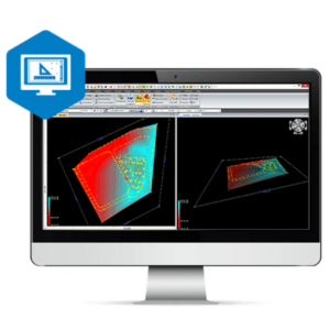
The software lets you post-process and adjust field-survey data collected from total station and GNSS equipment. A key component of the MAGNET software workflow, MAGNET Tools provides customisable options such as the ability to visualise field work in Google Earth™ and to directly export the data to 3D CAD software. MAGNET Tools supports a large library of industry-file formats.
- Process field measurements derived from both GNSS and optical total stations
- Visualize field work in Google Earth, 3D orbital view, CAD view and more
- Automatically check errors for efficient processing of field measurements
- Generate and customise field-work reports
- Create and manage descriptive code libraries
- Export directly to Bentley iModel or Autodesk's AutoCAD Civil 3D software
Autodesk Civil 3D integration
MAGNET software integrates seamlessly into Autodesk’s AutoCAD Civil 3D. Immediately transfer survey data from MAGNET to Civil 3D with a single button click. Conversely, the Exchange for Autodesk plug-in inserts a MAGNET ribbon directly into Civil 3D, enabling cloud-based data transfer to mobile field crews or machine operators using Sitelink3D.
Do you have questions about this product?
- Questions about price, availability, and/or retailers
- Questions about technical specifications and usage
- Questions about suitability for your project or application
Documents
Brochure
topcon-magnet-digitalbooklet-corporatedocument-5.pdf
5.53 MB


