
An unusual application for UAS LiDAR payloads: the creation of orienteering maps
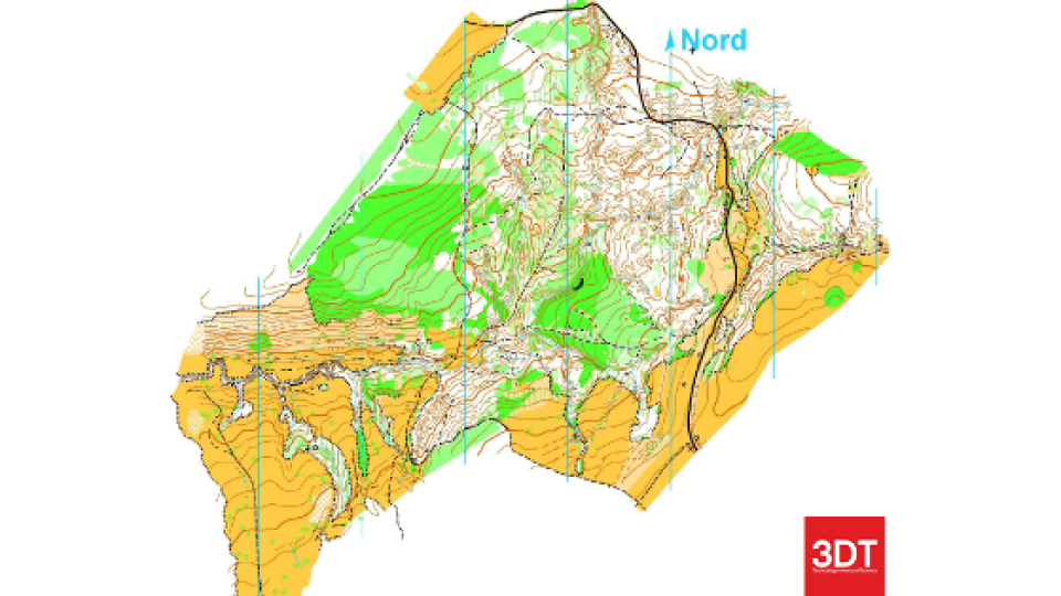
Orienteering is a sport that consists in navigating from point to point in diverse and usually unfamiliar terrain whilst moving at speeds. The participants are given a very detailed map, with grids aligned to the topographical north, with standardized map symbols. The map is used to find the fastest route between the checkpoints, which are marked both on the map and in the terrain, and described in a specific control description sheet. Typically, the competition areas are located in the woods and require very detailed maps, showing the contour lines, the density of the vegetation and many other features of the terrain. As LIDAR-surveying advances, base maps derived from the LIDAR data get more common.
The project
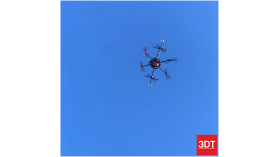
SunCart, a mapping company active in the field of aerial and land surveys, has been using Scanfly LITE to produce high-quality orienteering maps of different areas spread across the territory of Romania for the Romanian Orienteering Federation, and some of the Orienteering sport clubs organizing competitions in the mapped areas.
Purpose
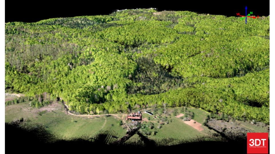
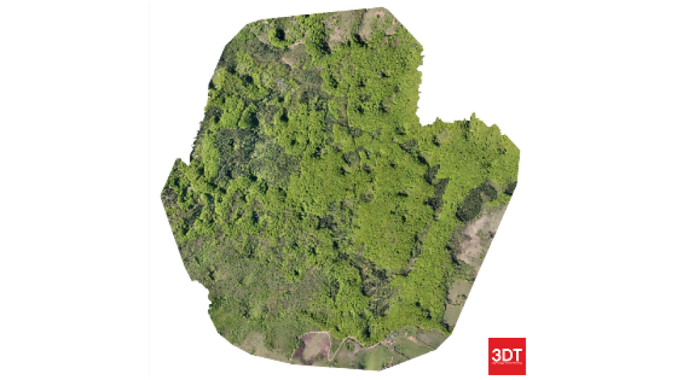
LiDAR surveys are performed with the intent of generating the 3D model of the areas of interest. Forest density, water features, clearings, trails and roads, earthen banks and rock walls, ditches, wells and pits, fences and power lines, buildings, boulders, and other features of the terrain will be later extracted from the point clouds.
Results
The dual return and the 16 LiDAR channels of the Scanfly Lite effectively mapped the vegetation, the terrain underneath and the relevant features in the surveyed area, enabling the creation of high-qualities digital maps with scales between 1:5000 and 1:10000 and detailed contours.
The Scanfly advantages
Once again, Scanfly proved to be a reliable workhorse for the most different mapping needs. Orienteering maps are just one of them: Scanfly is quickly deployed in the field and the streamlined process makes it easy to extract the accurate point clouds at the base of the deliverables required in every situation.
Do you have questions about this case study?
Get in touch with 3D TARGET, and they would be happy to answer any questions you have about pricing, suitability, availability, specs, etc.


![Do-Giant-Tortoises-Make-Good-Neighbors-1[1].jpg](https://cdn.geo-matching.com/vRMO2Edp.jpg?w=320&s=a6108b2726133ff723670b57bc54c812)


