
Description
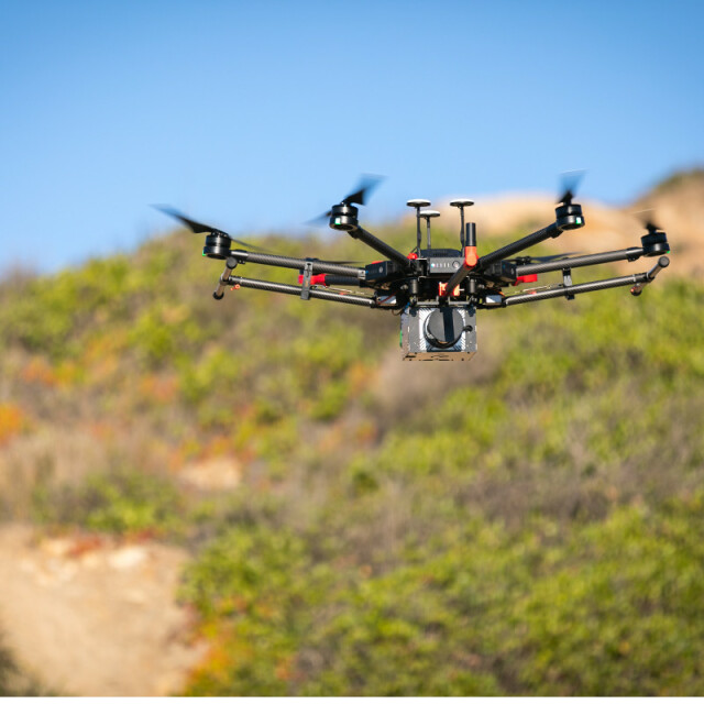
NextCore is an affordable, turn-key drone LiDAR platform designed specifically for the M600 Airframe. The NextCore platform utilises cutting-edge components and a highly optimised post-processing workflow to produce next level accuracies at an affordable price.
NextCore is changing the game of drone LiDAR with its NextCore Cloud post-processing platform allowing you to generate point clouds easily with the control you need.
NextCore has a refined, straightforward workflow meaning you can be sure you're getting the data you want, every time.
Key Specifications:
Flight Time on an M600 - 23 Minutes (using TB48s)
Absolute Accuracy - <50mm (RMSE @ 50m)
Scannable Area in One Flight - 50 Ha (1/2 square Km)
Get in contact for more information.
Specifications
-
Application
-
Main applications
Environmental, Construction, Power Lines, Mining, Surveying
Distinguishable features
Turn-Key Solution, Affordable Price, Great Support, Cloud Processing, All in one Package
Training, maintanence and support
Calibration is done in post processing, no need to send the uni back
-
Measurement Characteristics
-
Range accuracy [mm]
50
Scanning Speed [measurements p second]
400000
Min. pulse frequency [Hz]
400000
Max. pulse frequency [Hz]
400000
Max. field of view [degrees]
360
Max. number of recorded echoes per pulse
3
-
Laser Pulse Characteristics
-
Laser Class
Class 1
Wavelength [nm]
905
Max. range of laser pulse [m]
150
Min. range of laser pulse [m]
1
-
Power Supply
-
Type of battery
Draws Power from Aircraft
-
Positioning System
-
Number of GNSS positioning sensors
3
Type of GNSS positioning sensors
RTK and PPK
Typical positioning accuracy [cm]
0.8
Heading, Pitch and Role internally captured
Y
-
Operation Characteristics
-
Camera included
-
Data and Software
-
Type of storage
flash card
Included software
All Software included
Max. storage space [mb]
64000
-
General
-
Year of last update
2018
Year of introduction
2018


