
Geo-Photmap
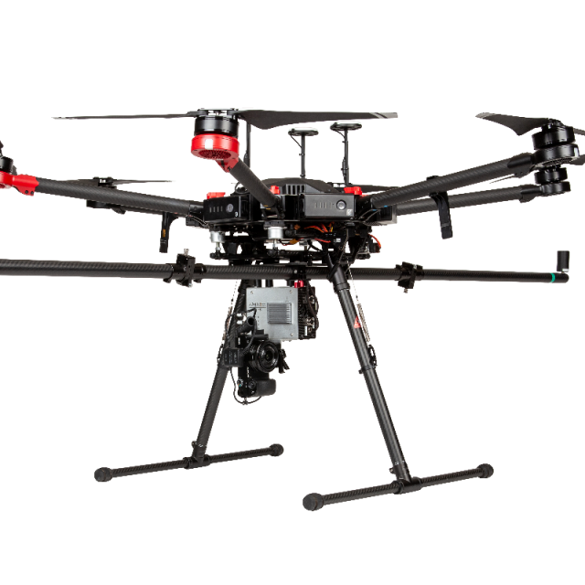
Geo-Photomap is a new technology and capability offered by Geodetics’ Geo-MMS LiDAR Mobile Mapping System. Geo-Photomap tightly integrates GPS/IMU with RGB imagery/multispectral resulting in direct-georeferencing of the captured images, allowing the capability of corridor mapping and vertical mapping:
AEVEX Aerospace
United States
Description
Geo-Photomap is a new technology and capability offered by Geodetics’ Geo-MMS LiDAR Mobile Mapping System. Geo-Photomap tightly integrates GPS/IMU with RGB imagery/multispectral resulting in direct-georeferencing of the captured images, allowing the capability of corridor mapping and vertical mapping:
- Image Time-tagging
- Image Geo-tagging
- Ground Control Point Free
- Allows vertical mapping
- Allows corridor mapping (low sidelap)
- Camera rotation capability
- Facilitates Photogrammetry Process
- Reduce flight duration (less overlaps)
- Supported by Agisoft, Pix4D, etc
- Rasterization
- Orthophoto generation
- Ready to use along Geodetics’ LiDAR module (Point& Pixel)
Specifications
-
Operation Characteristics
-
Camera included


