


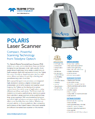
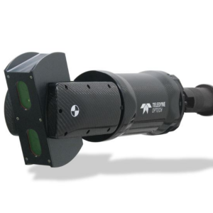
Polaris
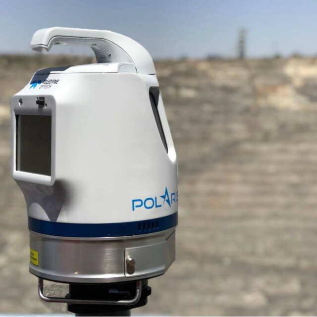
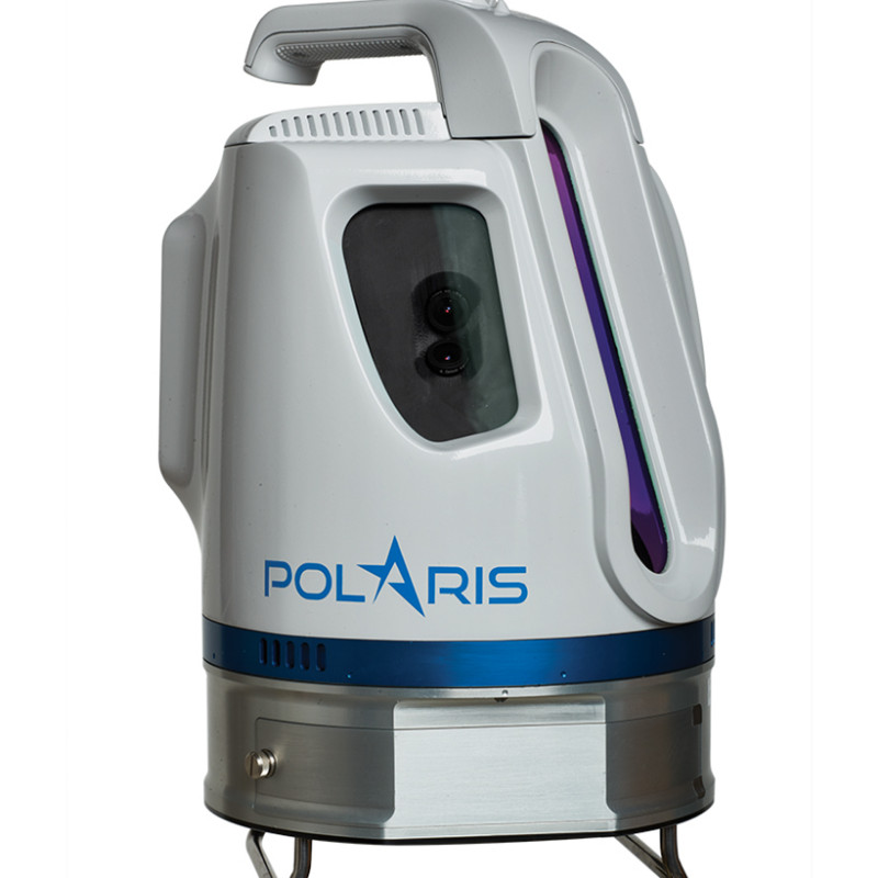
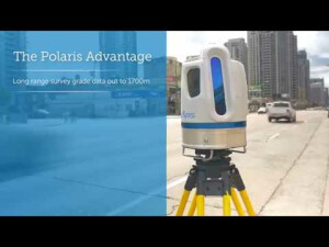
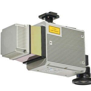
The Optech Polaris delivers accurate, precise data faster than ever before, bridging the gap between small, light-weight, short-range sensors and large, long-range, pulsed time-of-flight scanners. Built with surveyors in mind, the Polaris TLS has a user-friendly onboard operator interface with menu-driven operations, plus all the built-in features needed for quickly collecting and referencing data.
Teledyne Geospatial
Vaughan, CA
Description
With a powerful quad-core processor, an integrated high-resolution camera, a digital compass and inclinometer, an L1 GNSS receiver and weather-proof housing, the Polaris can be deployed in various environments for a wide range of applications, using different workflows and setups.
The Polaris leads the market in price versus performance, starting at a price that rivals short-range scanners while outperforming long-range scanners. With accelerated performance and all the built-in features surveyors need, the Polaris offers more flexibility than ever before.
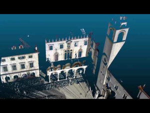
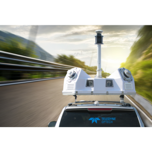
Whether on a tripod, vehicle, or moving platform, the outstanding performance of the Polaris makes it the most versatile and efficient terrestrial laser scanner on the market.
Do you have questions about this product?
- Questions about price, availability, and/or retailers
- Questions about technical specifications and usage
- Questions about suitability for your project or application
Specifications
-
Application
-
Training facilities
Yes
Main users
Civil Engineering, Construction, Transportation, Heritage, Mining, Forensics, Forestry, Scientific Research, Geology
Main applications
Mining activities, Monitoring, Infrastructure, Natural disasters forensic, Marine applications
Distinguishable features
Short, medium and long range scanning capability, all in one scanner. Wide vertical field of view. Project planning with semi-automated execution in the field, internal cameras, high resolution capability.
-
Peripherals
-
External Camera
Y
Export formats of camera image
jpeg, tiff, raw
User interface
sunlight visible, resistive single touch
Additional sensors
Inclination sensor, internal GPS, compass, sync timer
Registration/orientation methods
GNSS, backsight and resection with automated target centroide, ICP
Specifications
640 x 480, color
-
Operation Characteristics
-
Operating temperature: min. [°C]
-10
Operating temperature: max. [°C]
50
Humidity range [%]
95
Internal Camera
Y
Control panel built in
Y
Dual Axis Compensation
Y
-
Scanning Characteristics
-
Max. vertical field of view [deg]
120
Max. horizontal field of view [deg]
360
Min. horizontal step size [deg]
0.0017
Min. vertical step size [deg]
0.0007
Uncertainty of horizontal step size [deg]
0.004514
Uncertainty of vertical step size [deg]
0.004584
Beam deflection mechanism
Oscilatting Mirror
Max. measurement rate [kHz]
500
Min. scan duration with typical resolution [min]
1
Scan duration with highest resolution [min]
300
-
Software Functionality
-
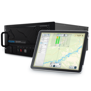
Software name
ATLAScan
Automatic detection of tie points
Y
Real time visualization during scanning
Y
Geo-referencing
Y
Fitting of primitives
Y
Specification of primitives
points, lines, circles, spheres, planes
-
Laser Ranger
-
Range measurement principle
pulse
Wavelength [nm]
1550
Laser safety classification
1
Min. Range [m]
1.5
Max. Range [m]
2000
Range uncertainty (constant part) [mm]
5
Range uncertainty (variable part) [ppm]
7
Beam diameter at exit [mm]
10
Beam divergence [mrad]
0.3
Spot at 50 m distance [mm]
23
Intensity recording [bits]
12
-
Power
-
Battery type
Internal (Optional External)
Scan time per battery [h]
1.75
-
General
-
Year of introduction
2016
Height [m]
0.33
Depth [m]
0.24
Width [m]
0.25
Total Weight [kg]
11.2
Documents
Brochure
f845c920-acd9-4583-b10d-b2ee6159bac8
Other documents
-
Polaris for Transportation Engineering2.14 MB
-
Polaris for Structural Engineering1.89 MB
-
ATLAScan Software501.74 KB
-
Article: Scanning Sensitive Slopes - Complex Geotechnics248.28 KB
-
Polaris used on the Game Of Thrones Series387.47 KB


